| Tenderfoot Mt Hike 5/28/2015 |
| Tenderfoot Mt was a 3.59 mile hike with a vertical rise of 1,203 feet. We never made it to the summit as weather closed in. This hike overlooked Dillon Reservoir and Silverthorne. |
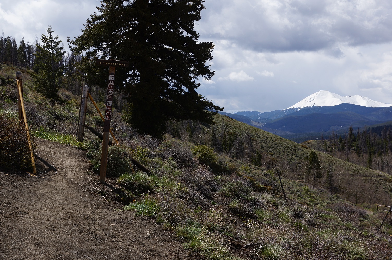
| The trailhead of Tenderfoot Trail. |
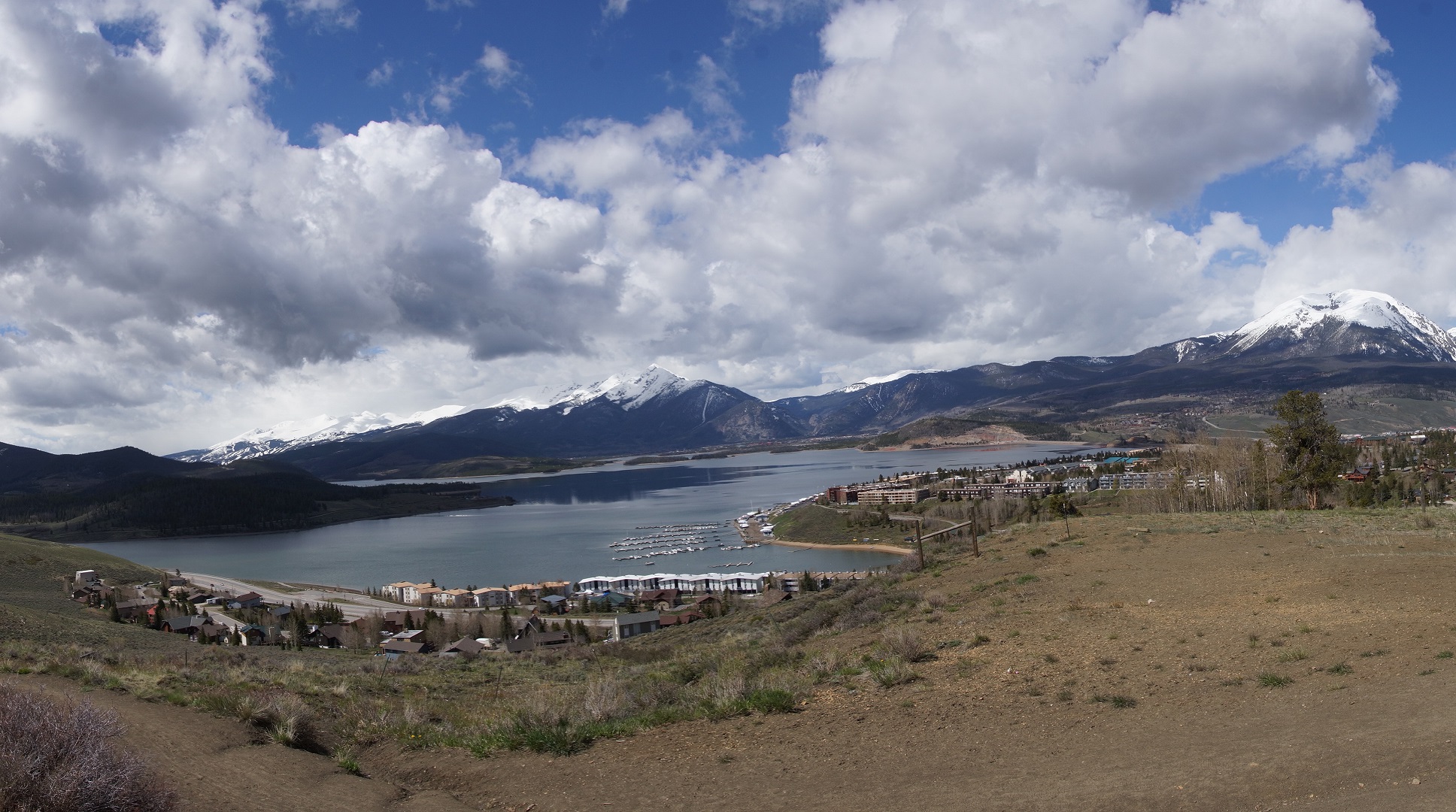
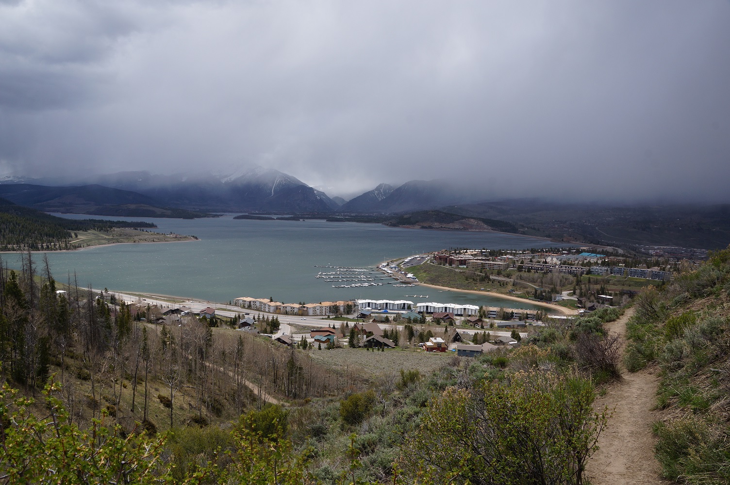
| Near the trailhead the view of Dillon Reservoir. |
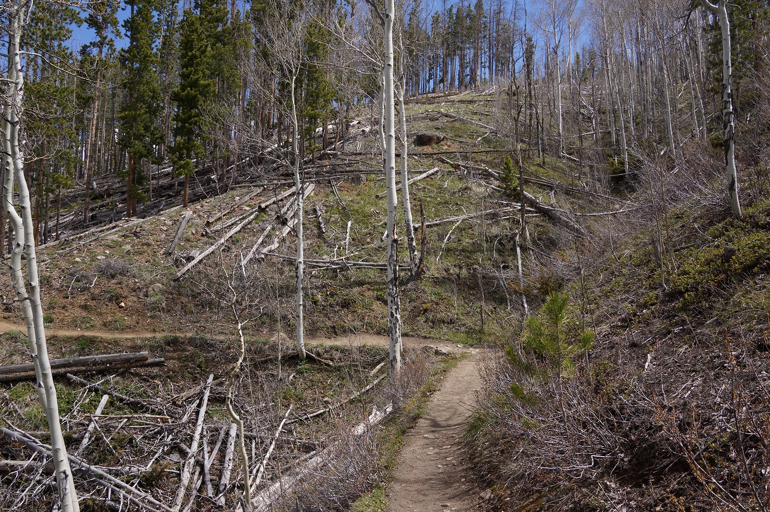
| Typical trail at the lower elevation. |
| Panoramic of Dillon Reservoir. (large) |
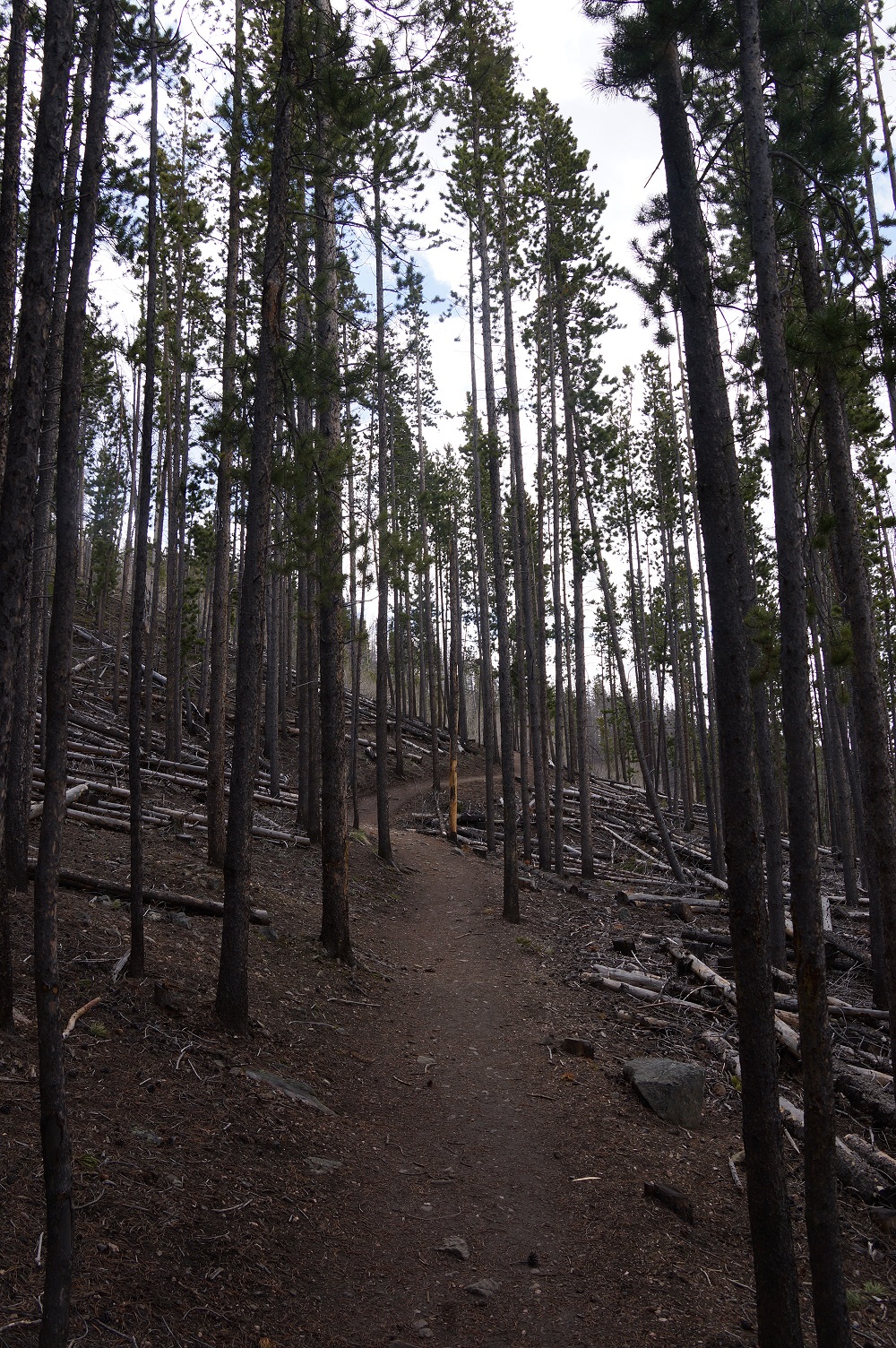
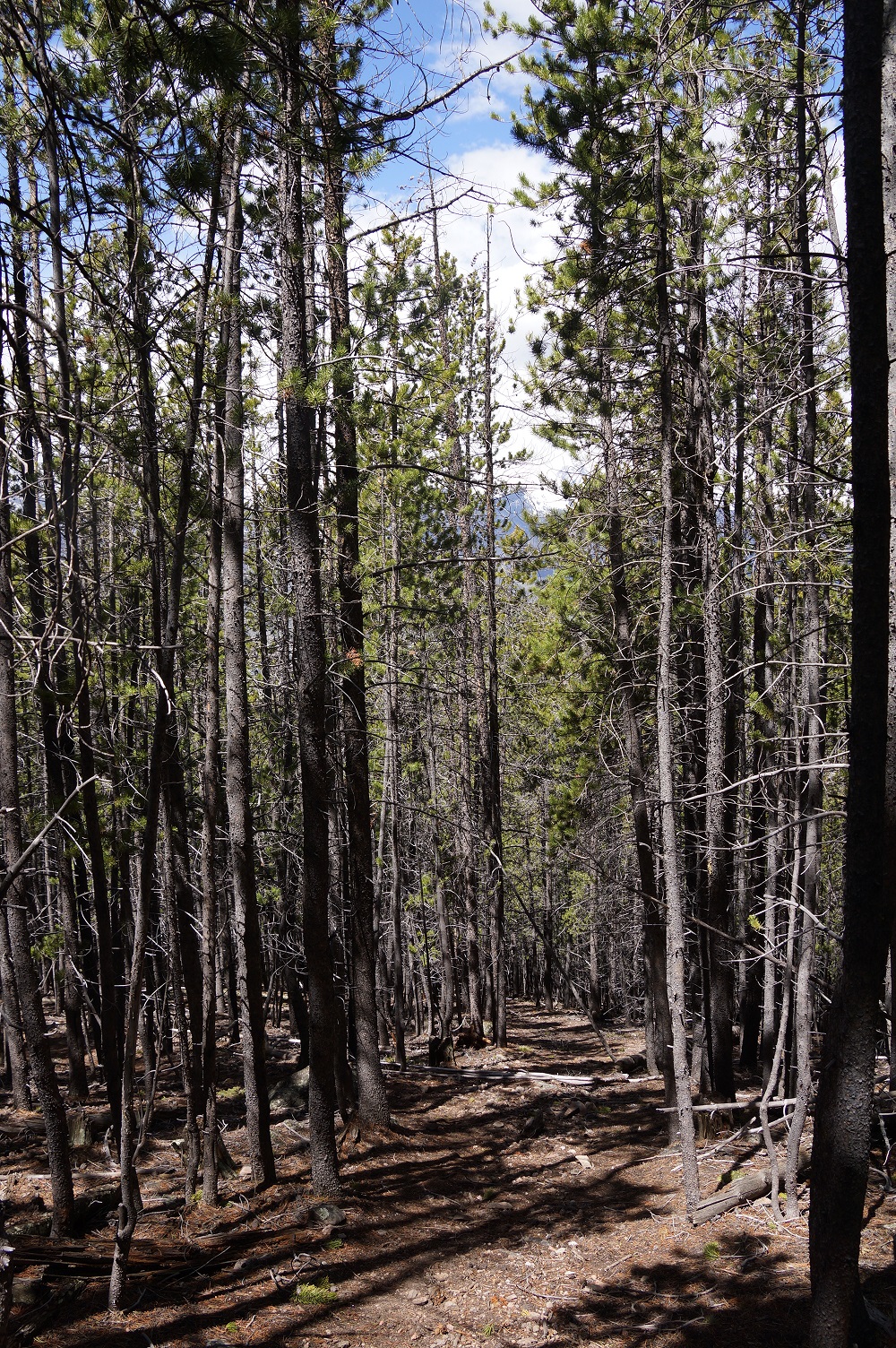
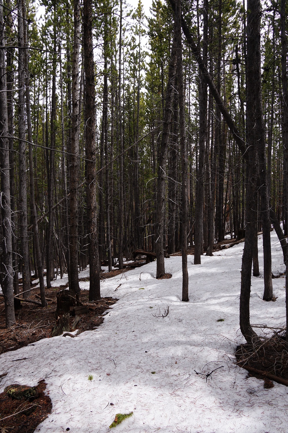
| The trail at the higher elevations was all trees. |
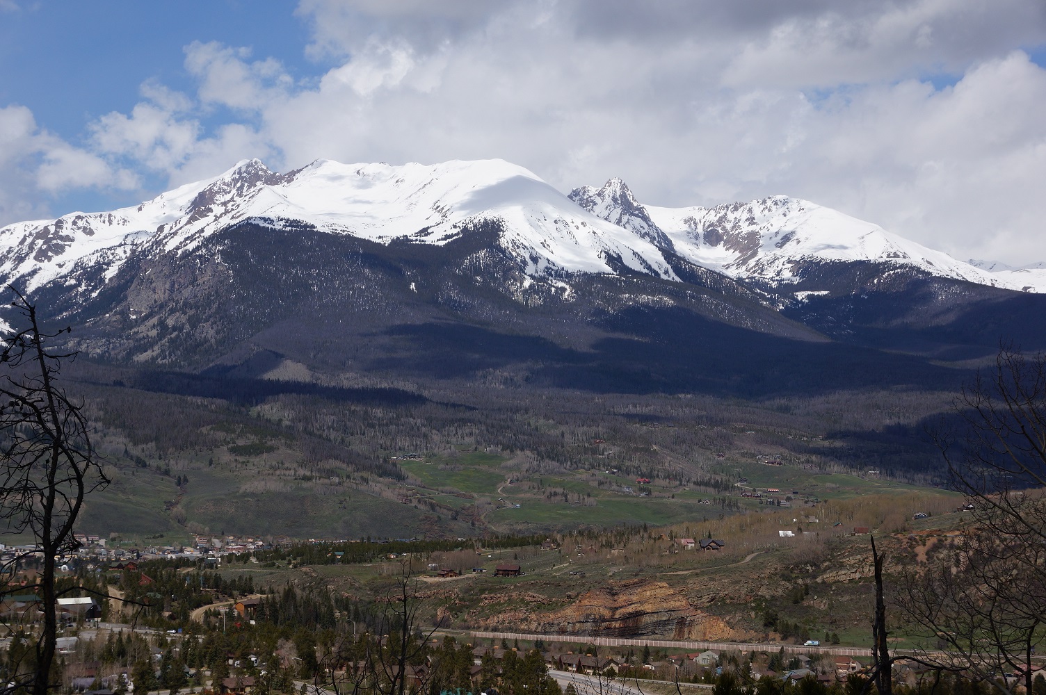
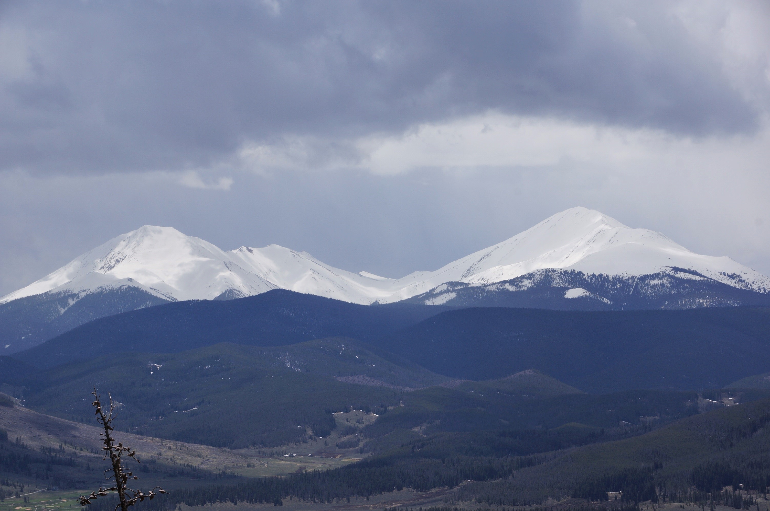
| The Gore Mountain range. |
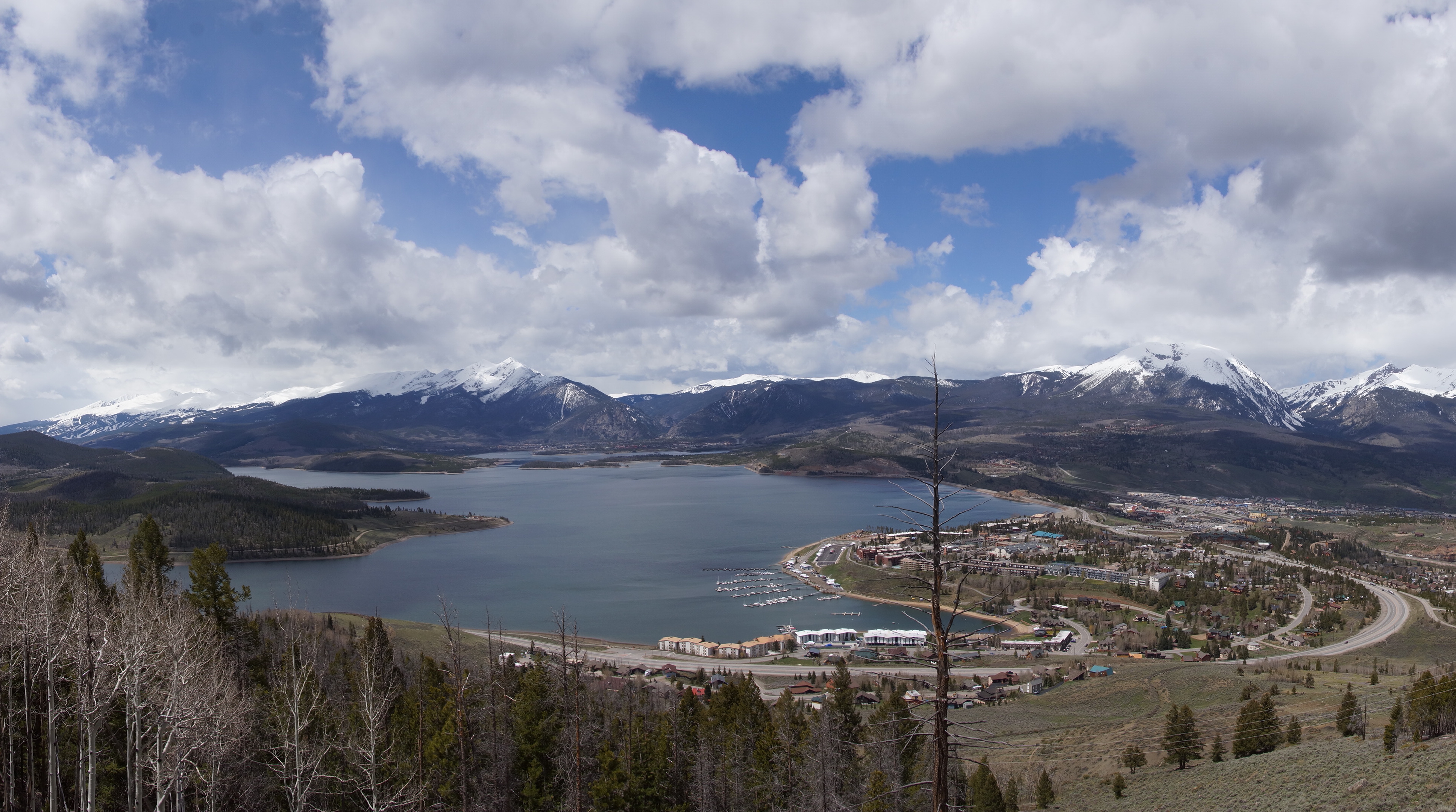
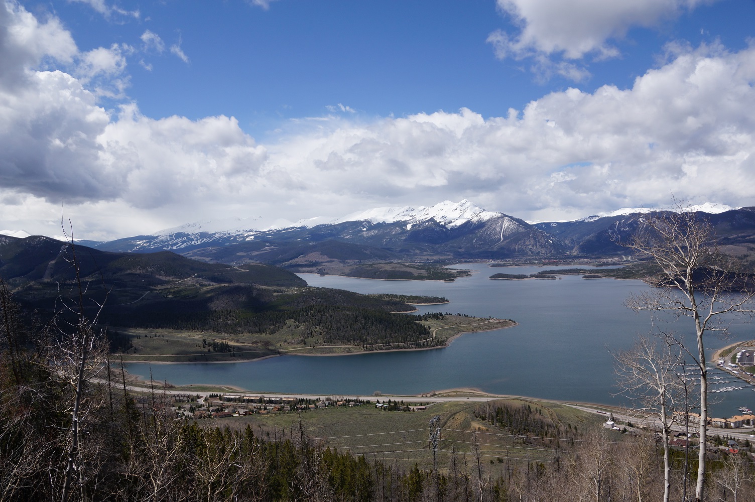
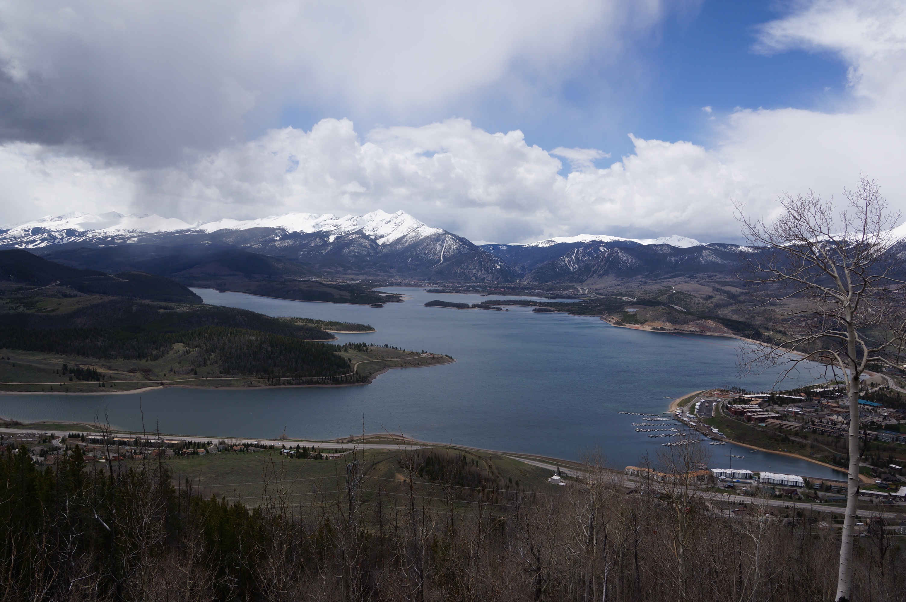

| Dillon Reservoir |
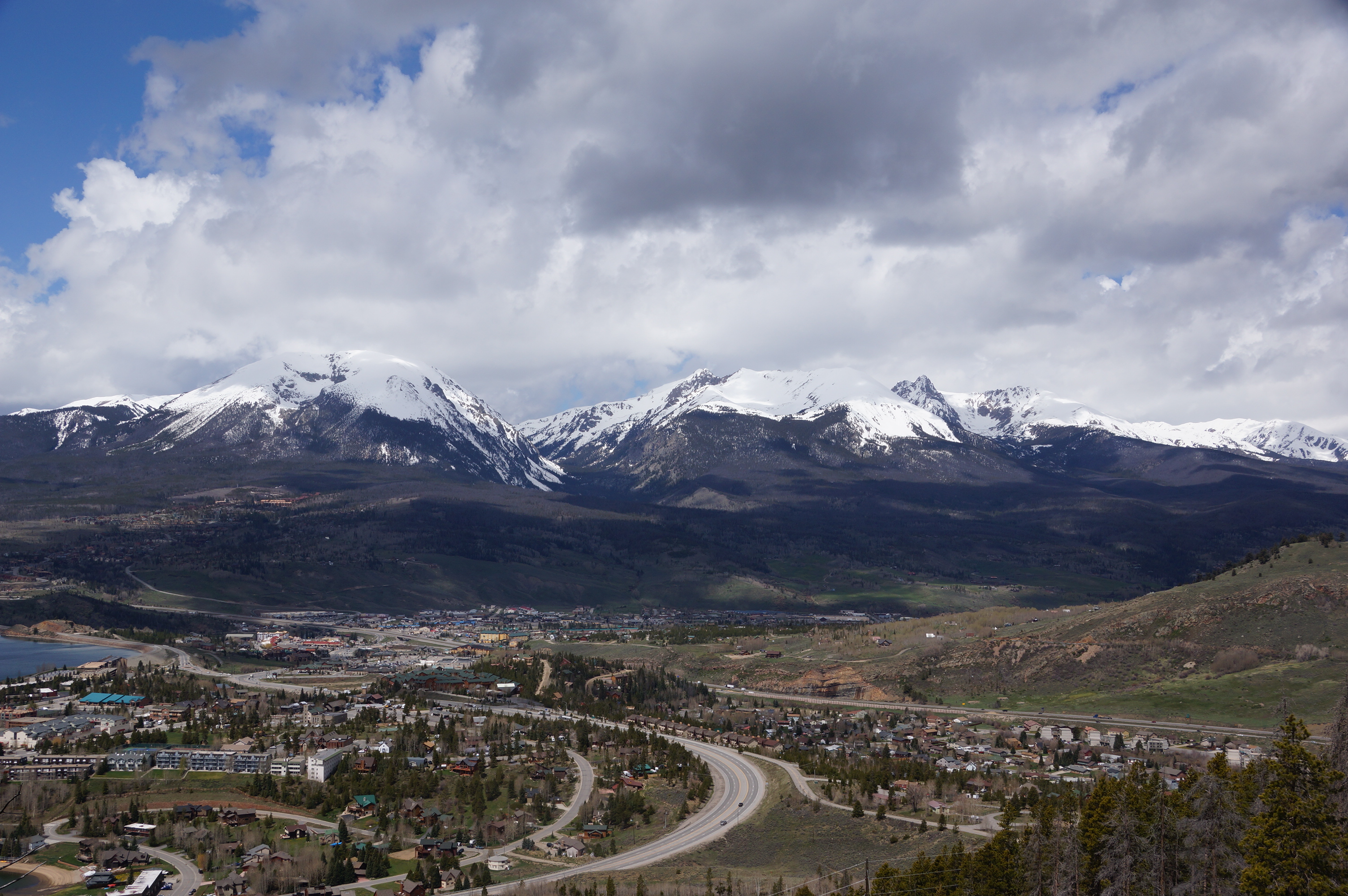
| Gore Range and Silverthorne |
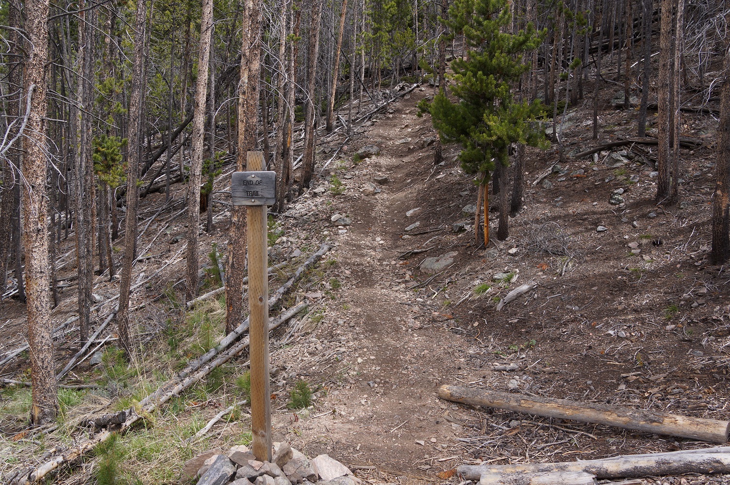
| The end of the formal trail. There was still somewhat of a trail to the summit. |
| Brekenridge Ski area and Lake Dillon. |
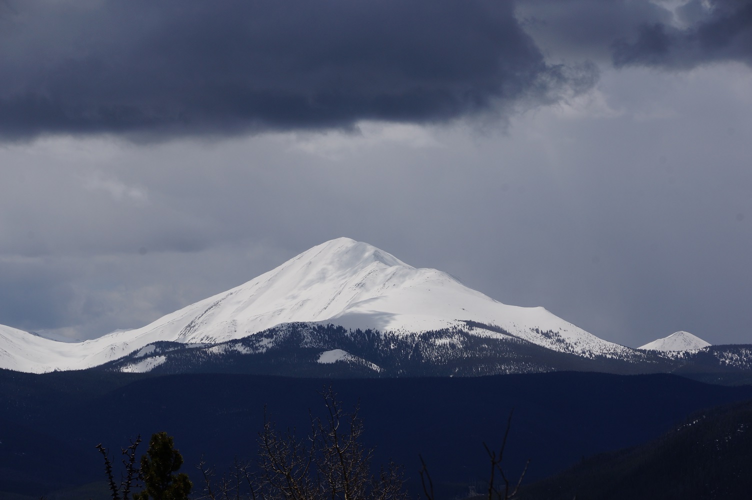
| The mountains were covered with heavy snow on May 28th. |
| The mountains were covered with heavy snow on May 28th. |
| The forest got thicker as we went higher. |
| Dillon Reservoir |
| Point at which we turned around with a snowstorm moving in and the trail snow covered. |
| The weather rolled in with snow in the high country on May 28th. |