| St. Mary's Lake and Glacier Hike 08/31/07 & 09/28/2020 |
| The hike was 4.07 miles from 10,482 feet to 11,832 feet for a vertical climb of 1350 feet. It included the glacier which is actually a snow field. Following very dry winters it has been known to totally melt in the summer. It is 3 miles roundtrip to top of glacier. |
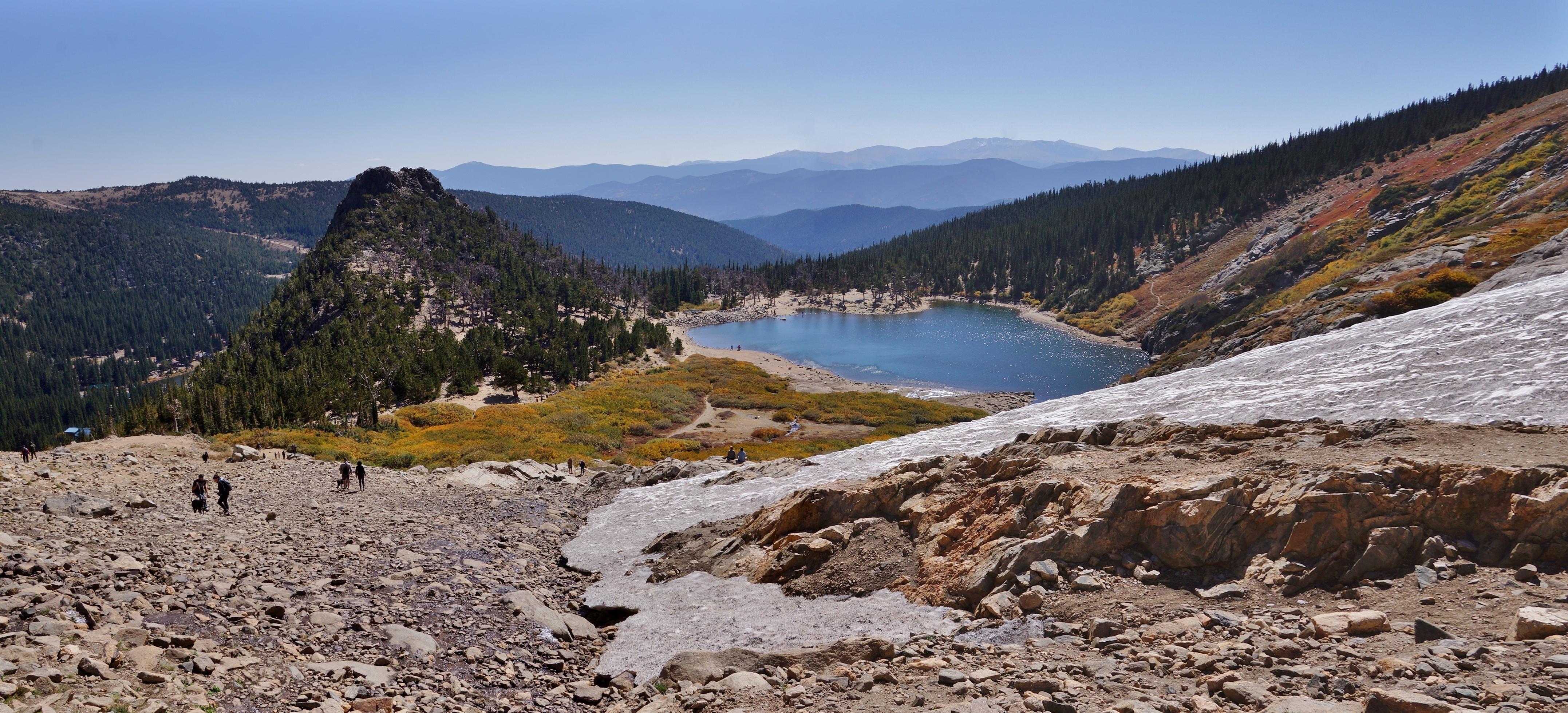
| A view of the northside of the lake and glacier. |
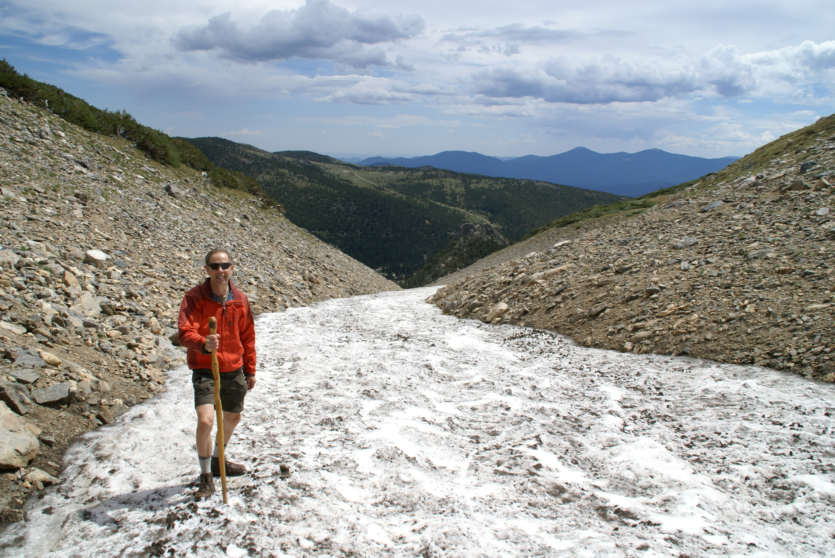
| We used the snow to walk up on as it was easier than on the rock trail. |
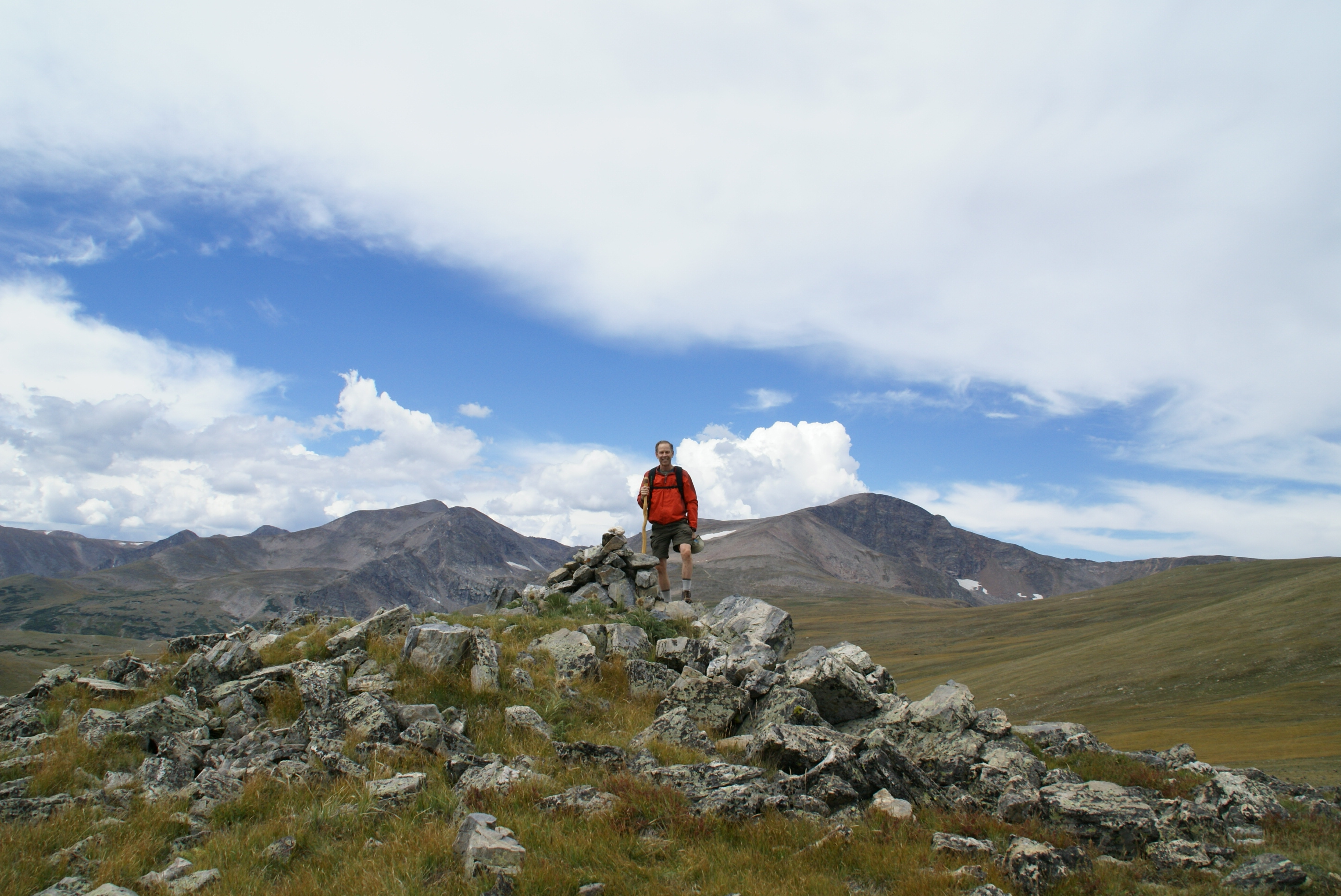
| Highest point on the hike at above treeline 11,832 altitude. |
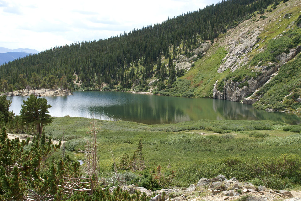
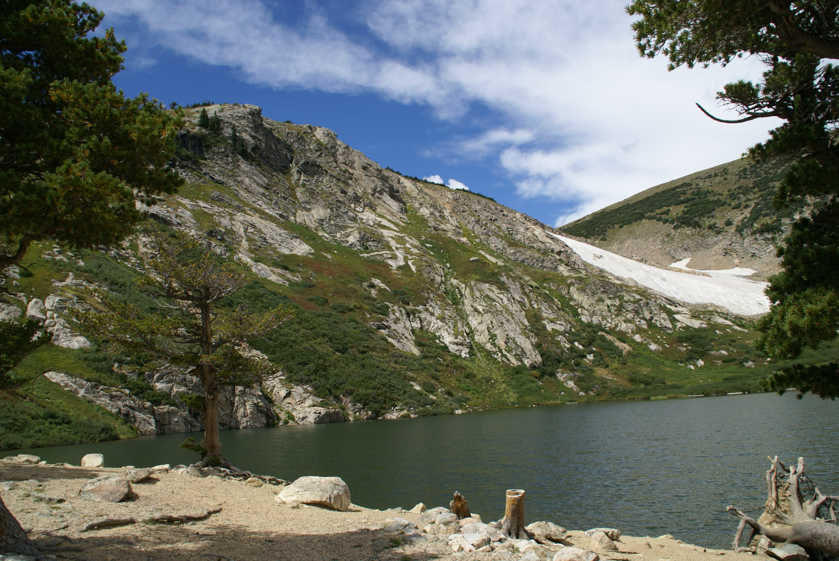
| The lake is kept full by the glacier melting. |
| The approach to the glacier with Fox Mt in the background. |
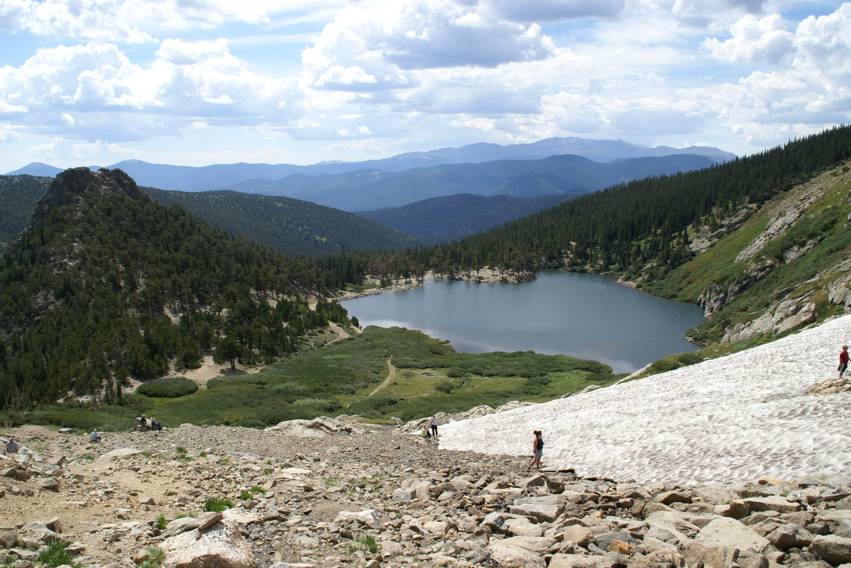
| A view looking down on the lake from the snow. |
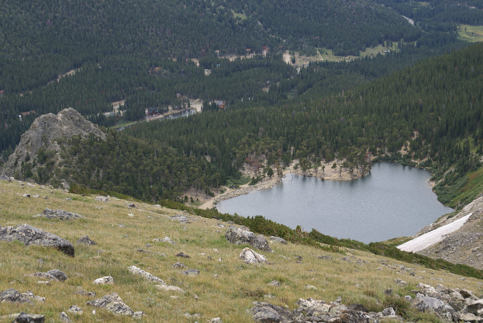
| View of the lake from above. |
| One final look back at Fox Mt. as we leave St. Mary's Lake and Glacier. |
| A view of the southside of the lake and glacier. |
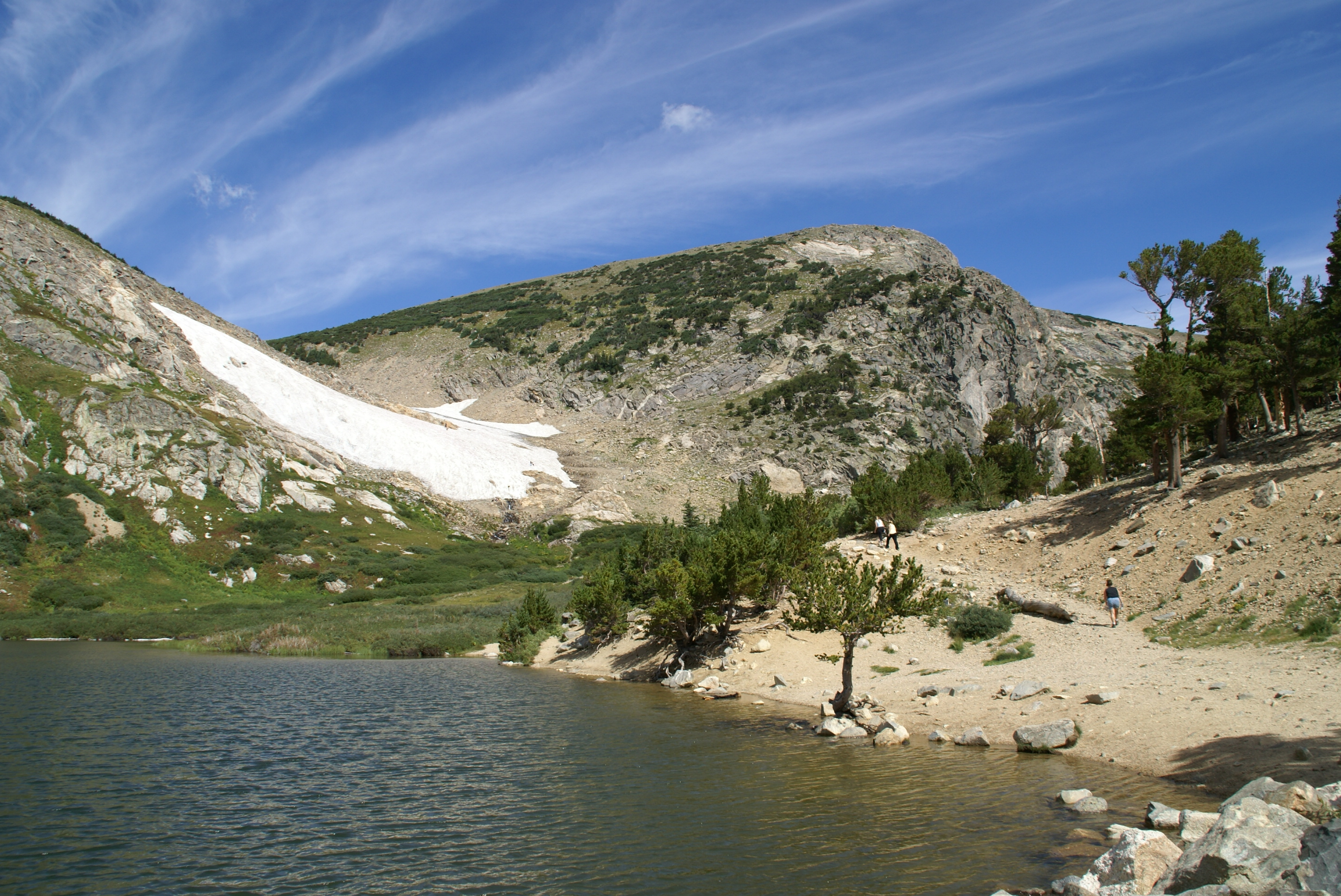
| View of the lake from above. |
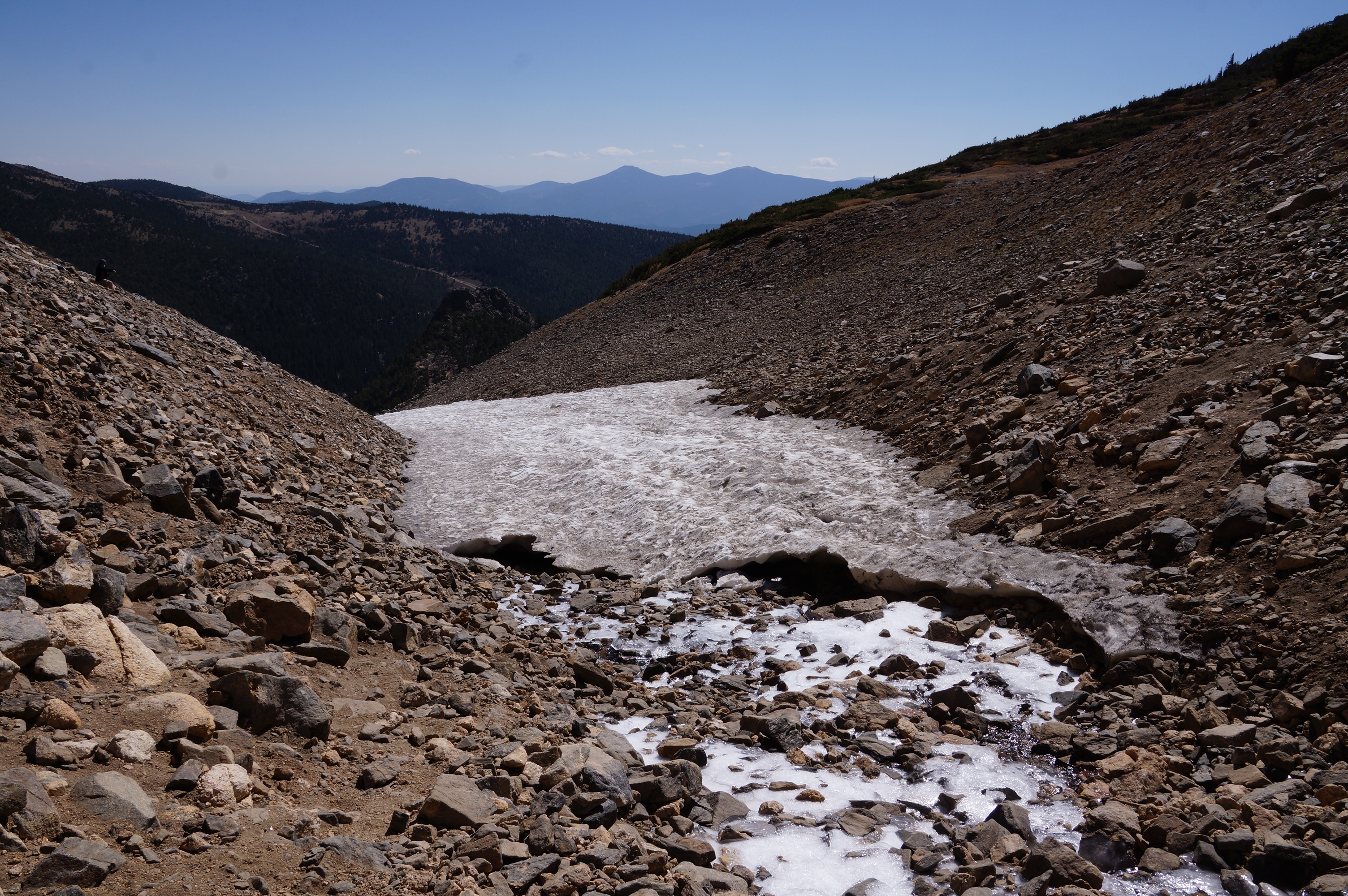
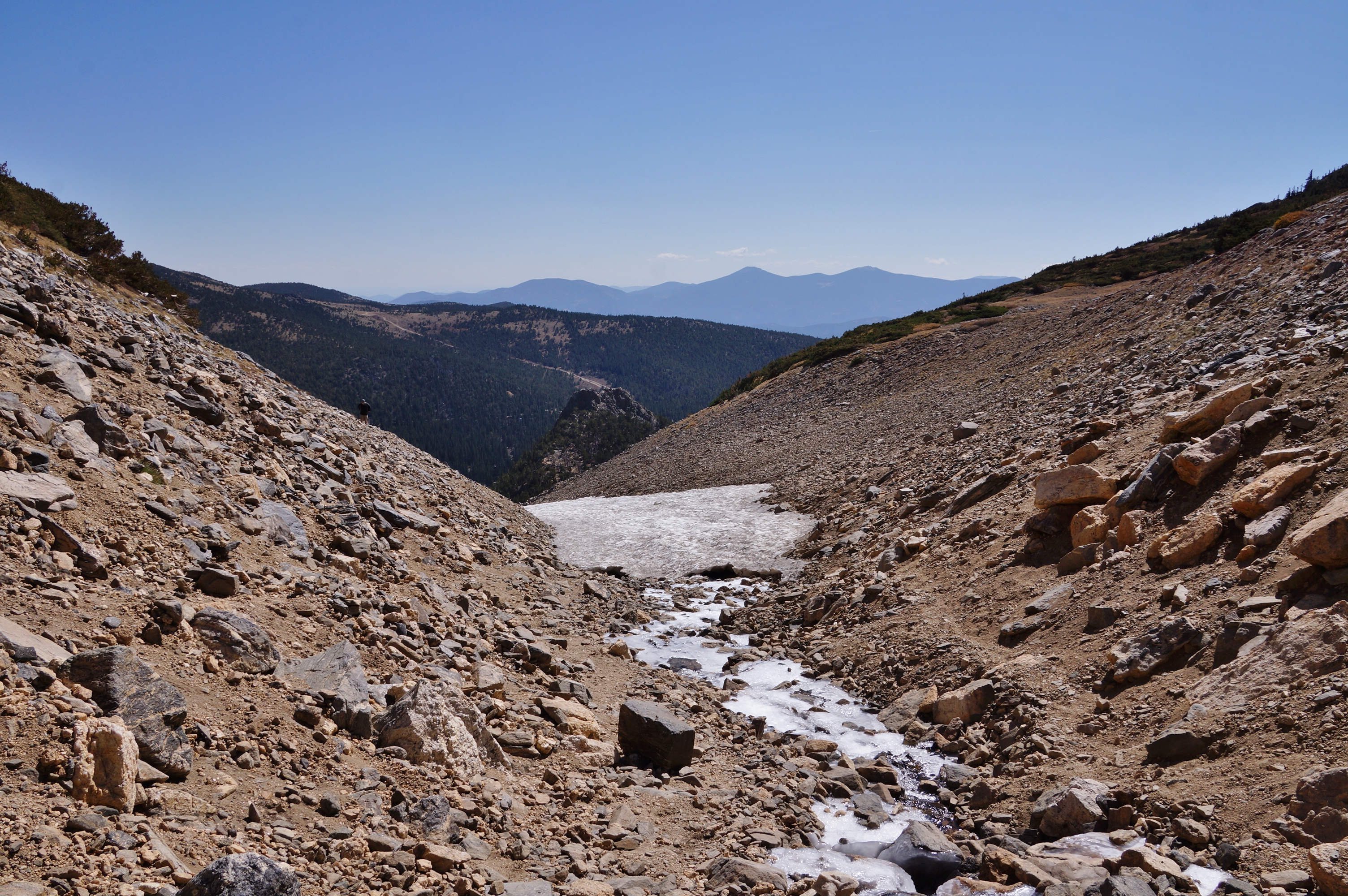
| The creek crossing as we go up to the glacier. |

| Aerial view of St. Mary's glacier in April |
| Hike of 09/28/2020 |
| The summer of 2020 was very hot. There was a record 75 days of 90 or better. The glacier melted into two pieces. |
| View from near the bottom of the largest part left of the glacier. |
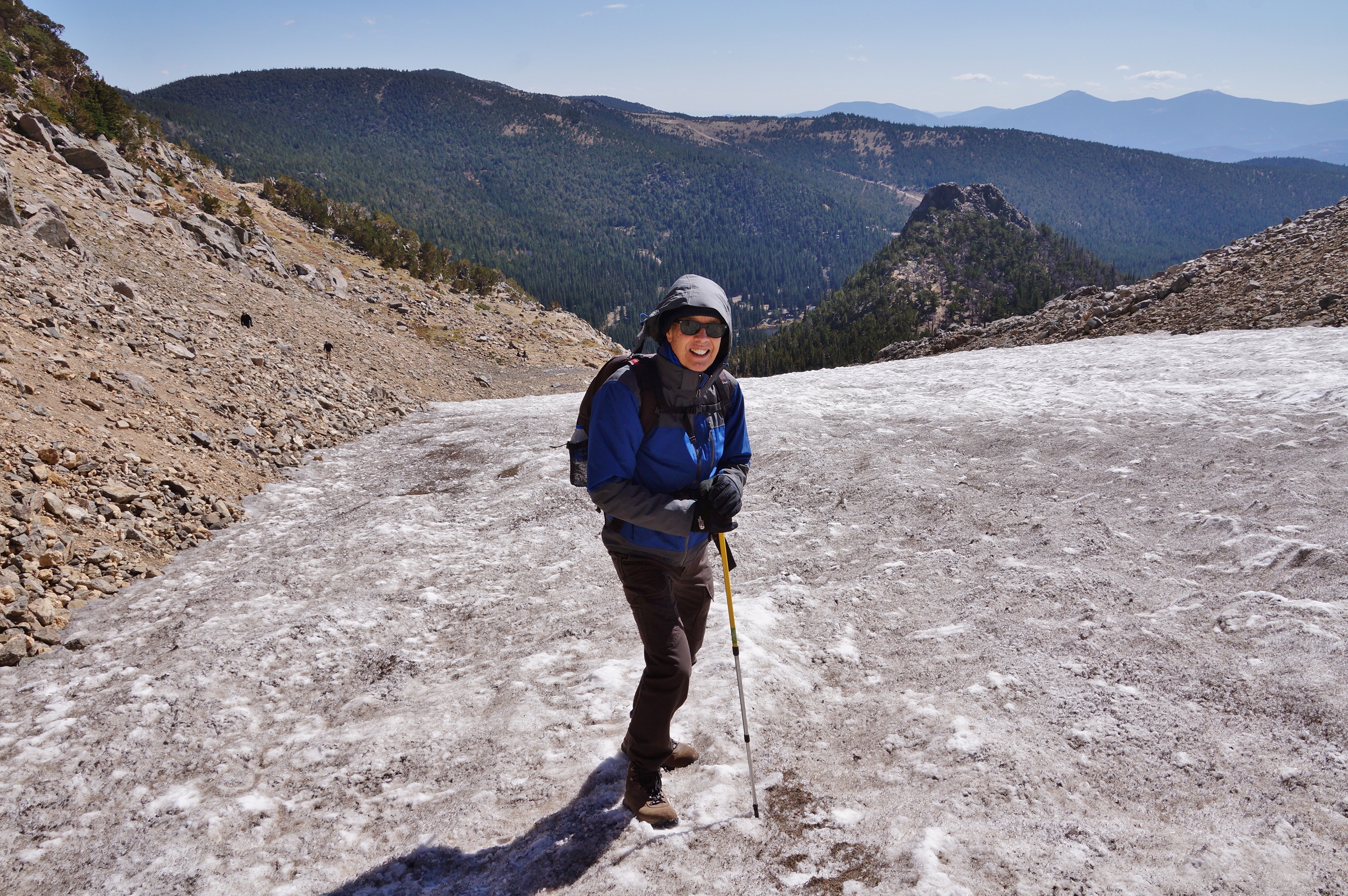
| On the largest half of the glacier. There was a 30 mph wind at about 35 degrees. |
| The other half had a continues stream from melting. |
| The other half of the glaciers altitude was above treeline at 11,800'. |
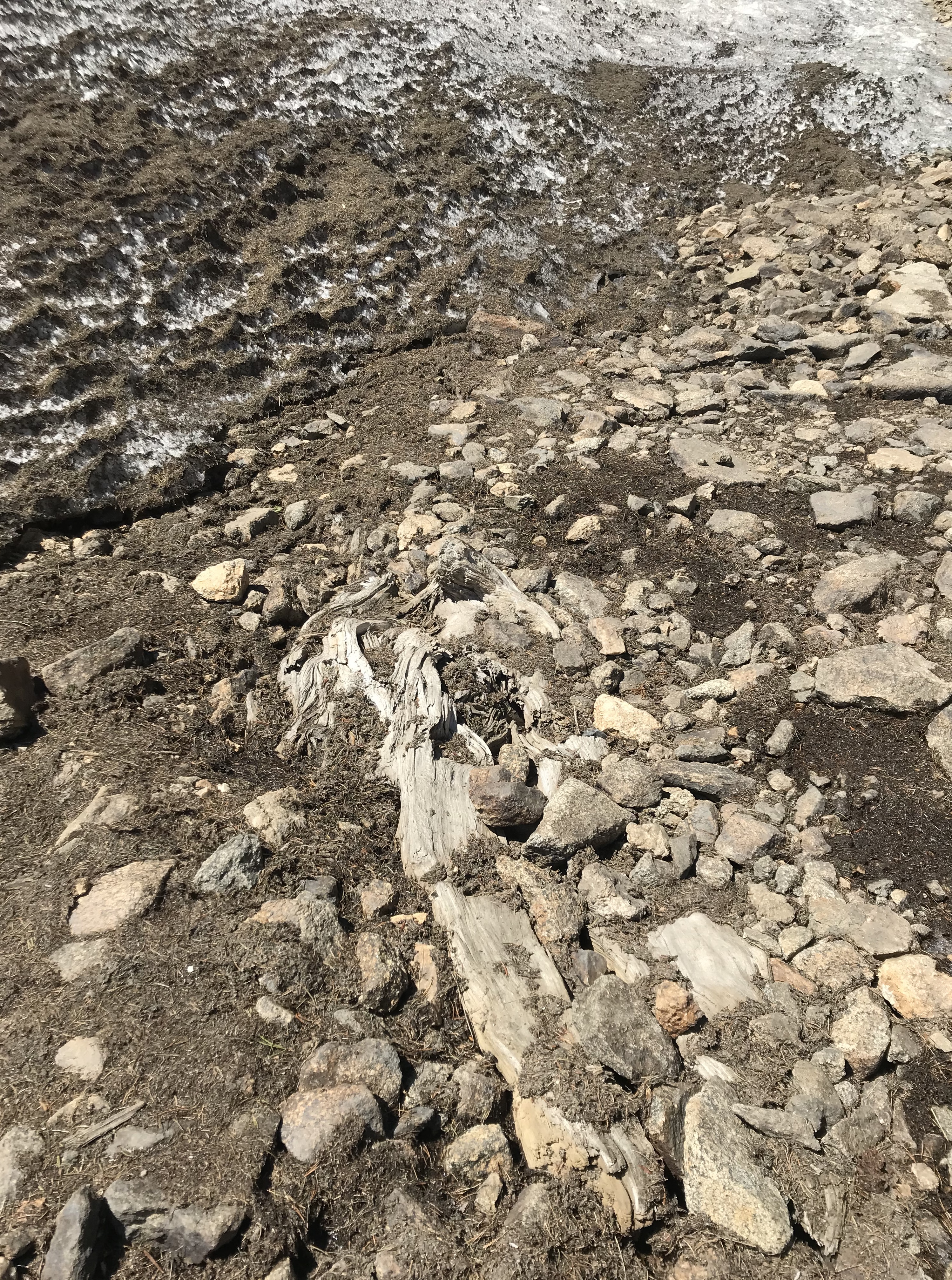


| Roots from trees were exposed under the melting glacier. The treeline must at some time been higher than 12,000'. The weather also had to have been warmer to grow trees at this altitude prior to the cold weather that created the glacier. |
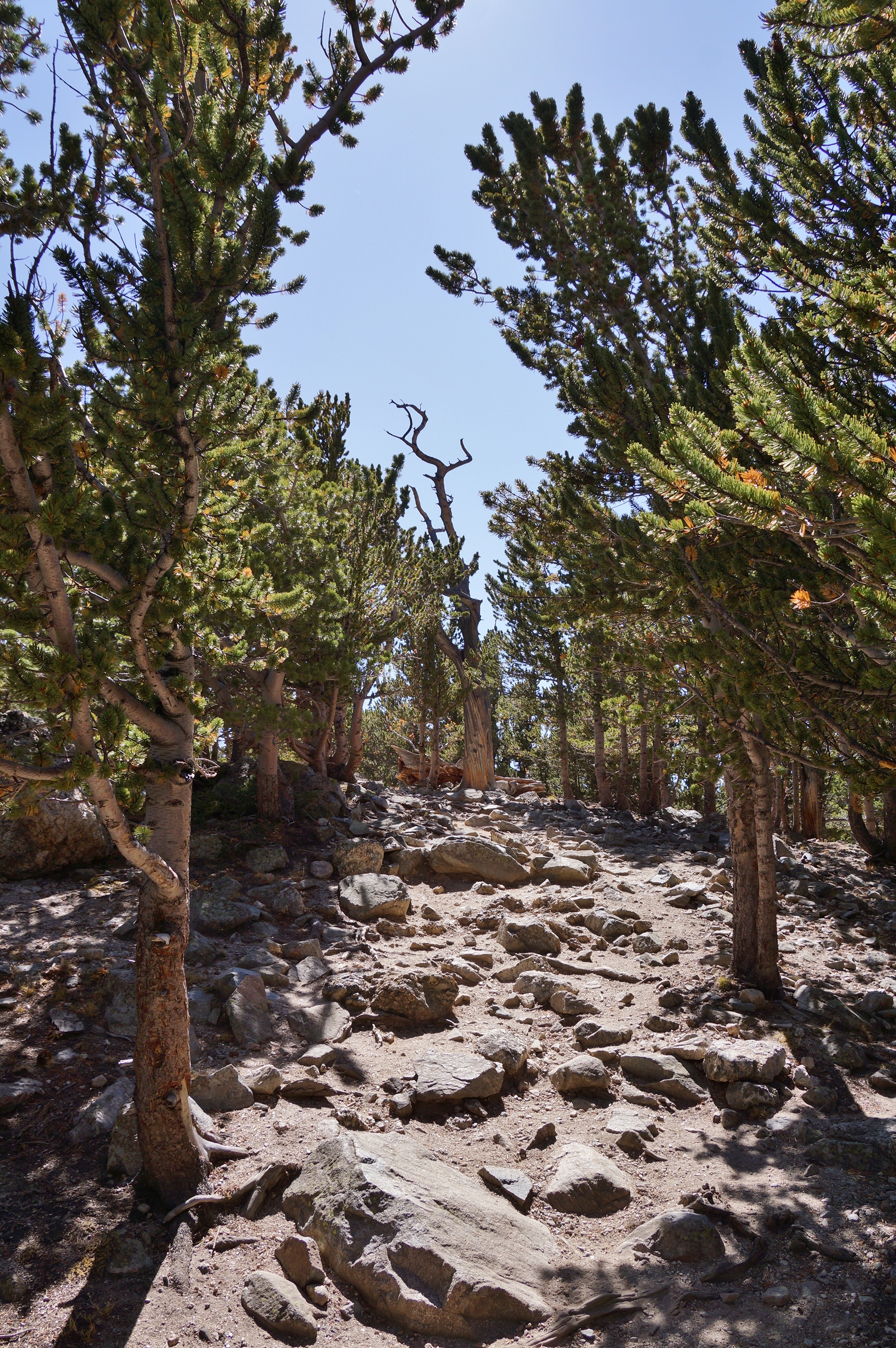
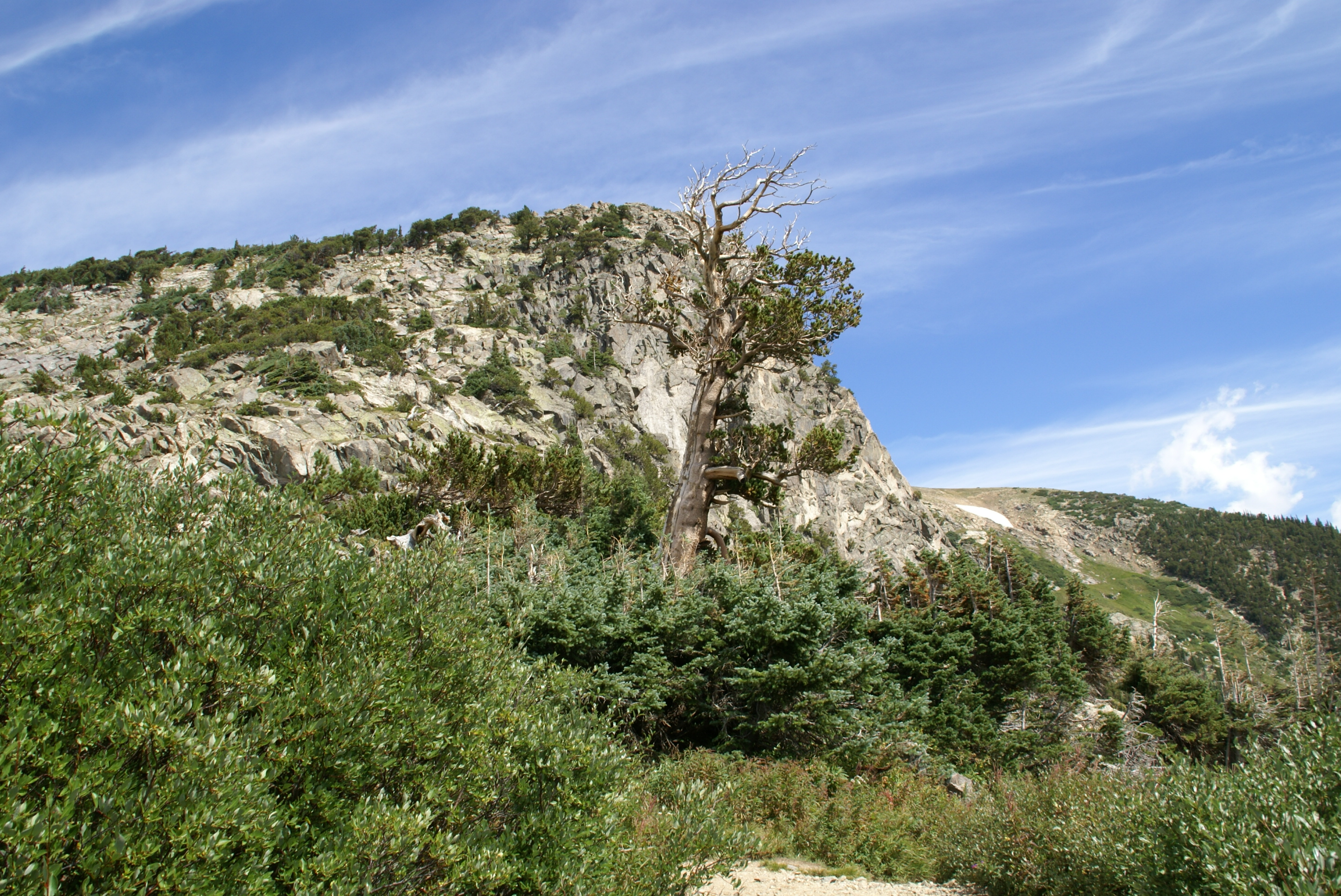
| The trail went through Bristlecone Pine. |
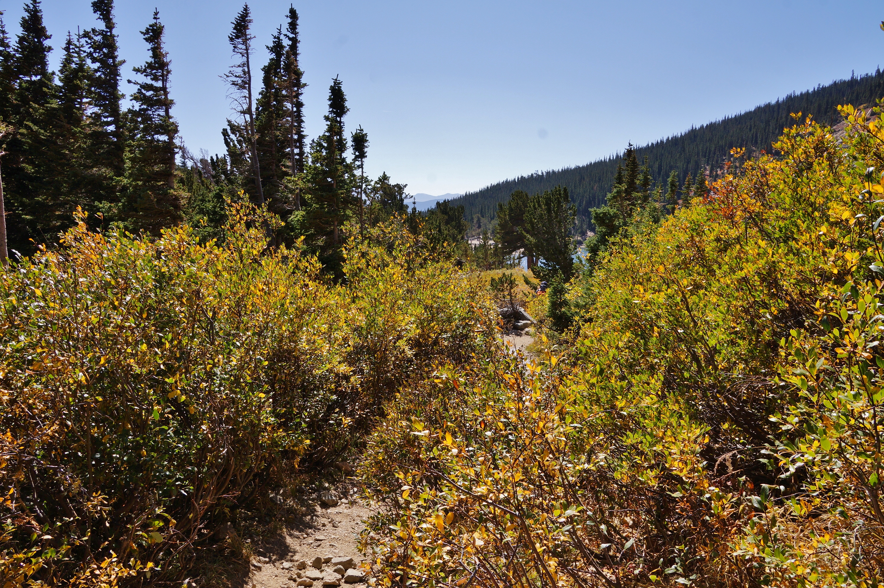
| The trail went through bushes with autumn colors. |
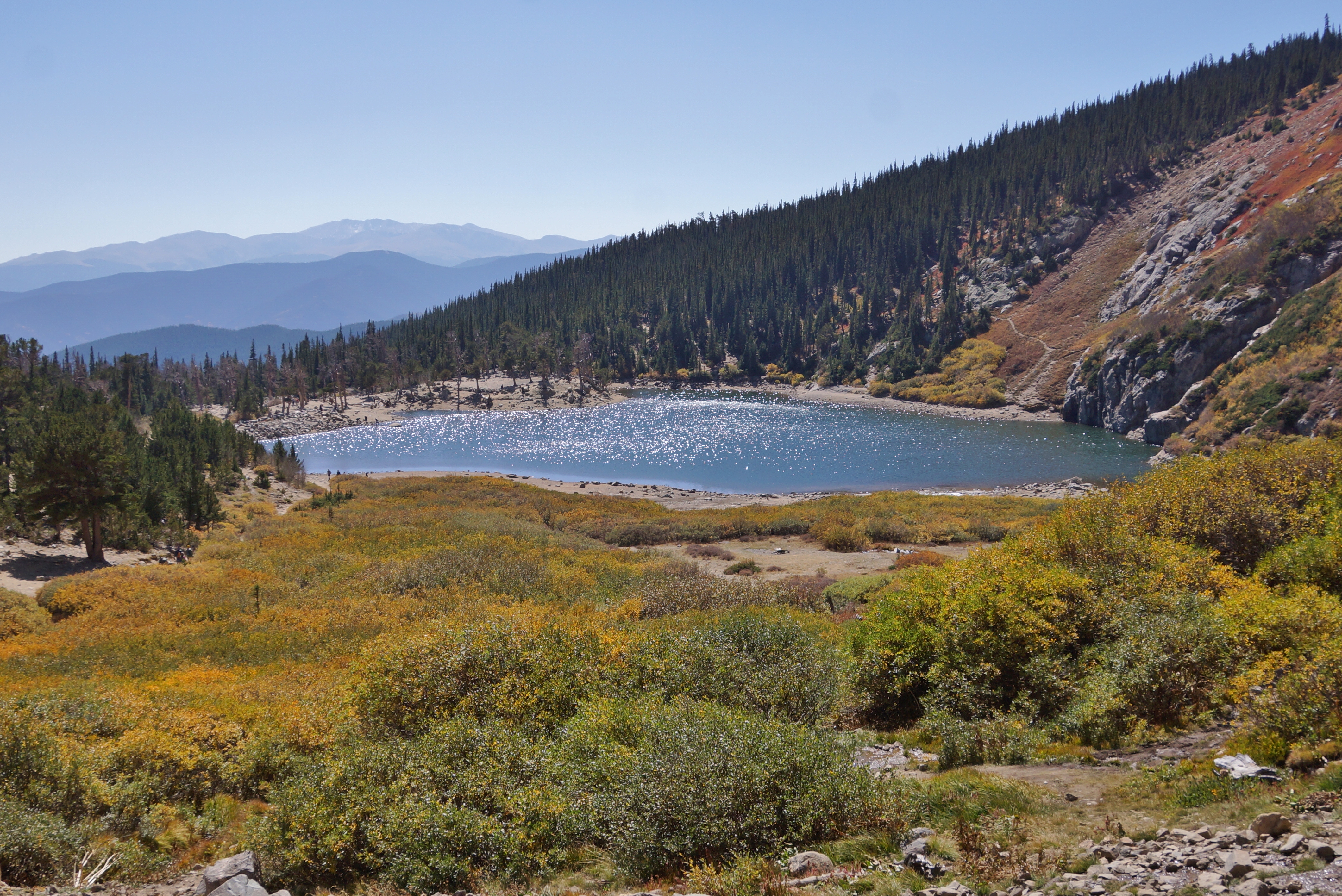
| The lake was a beautiful turquoise. |
| The lake was a beautiful turquoise. |