| Fall River Lakes Hikes 10/17/2013 & 10/30/2014 |
| These hikes are from Fall River Reservoir to 3 other lakes for a 3.7 mile roundtrip hike. The elevation change was 773 feet. In 2013 there was snow all the way. In 2014 there was very little snow. |
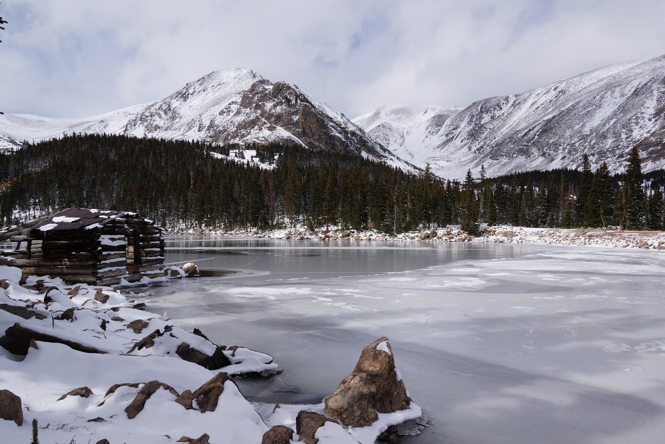
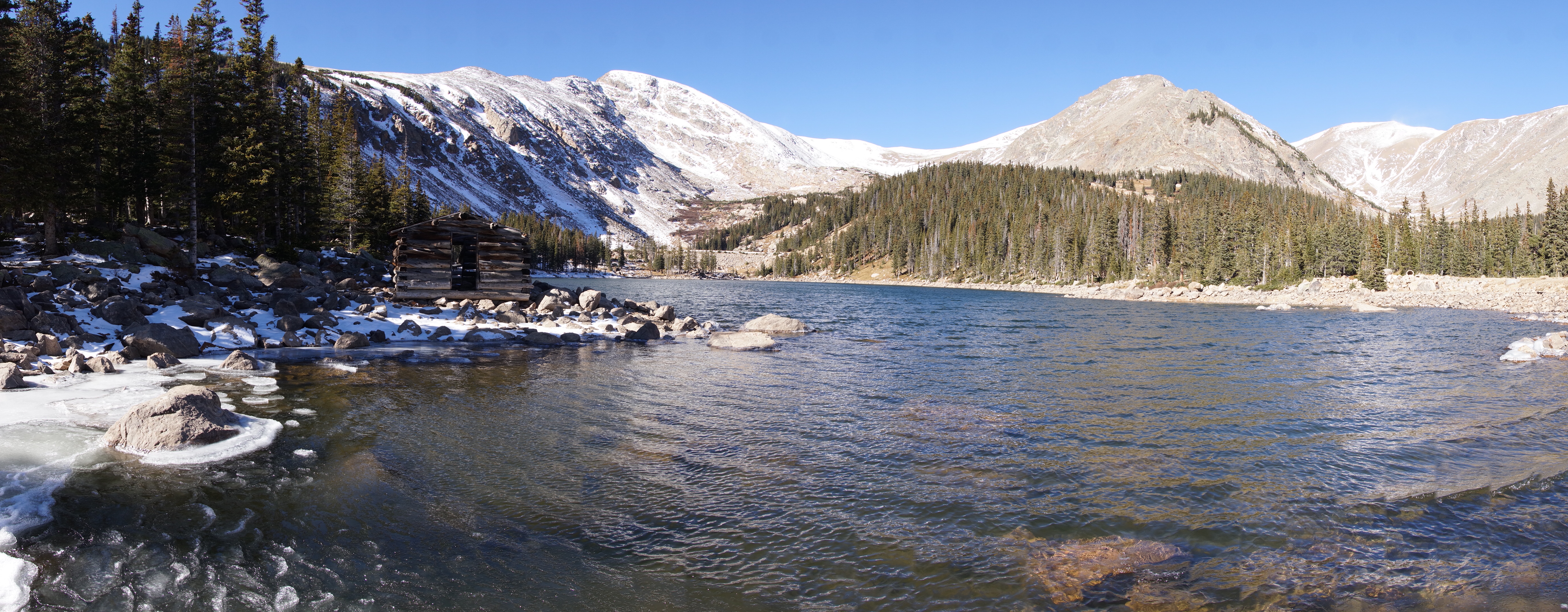
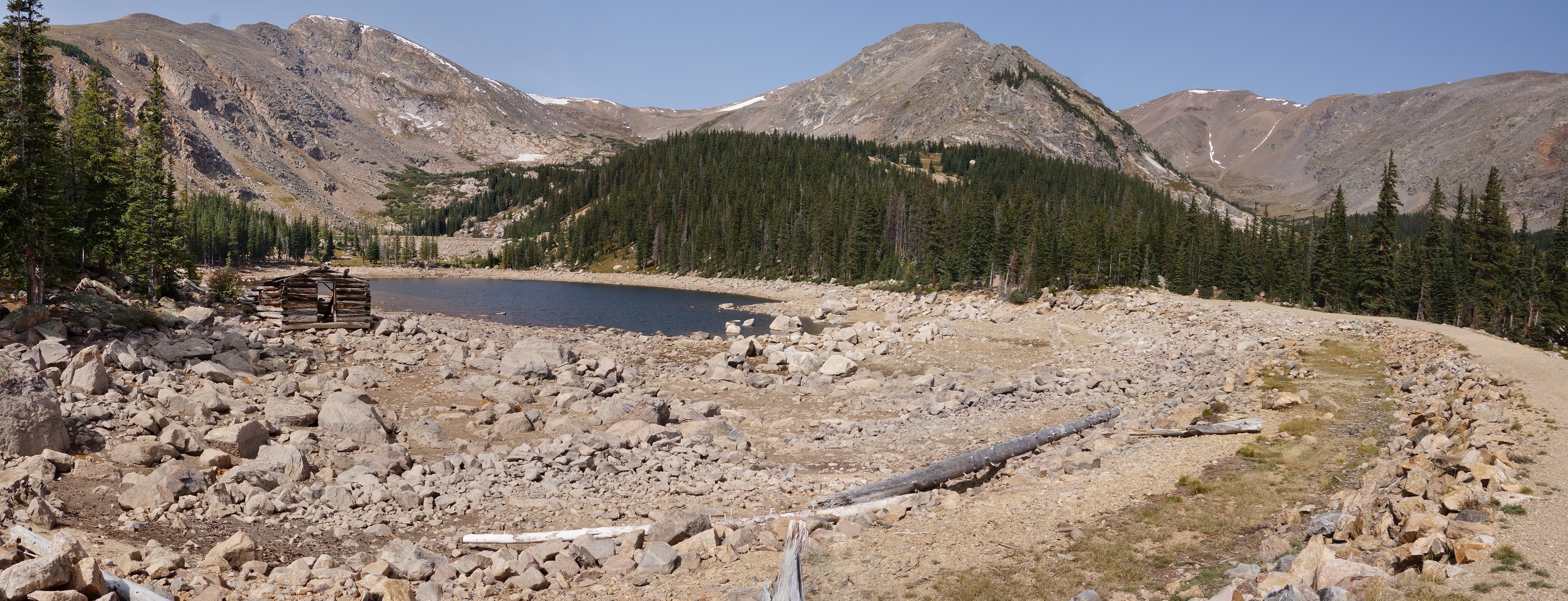
| The next lake is Chinn Lake which has a pioneers log cabin. |
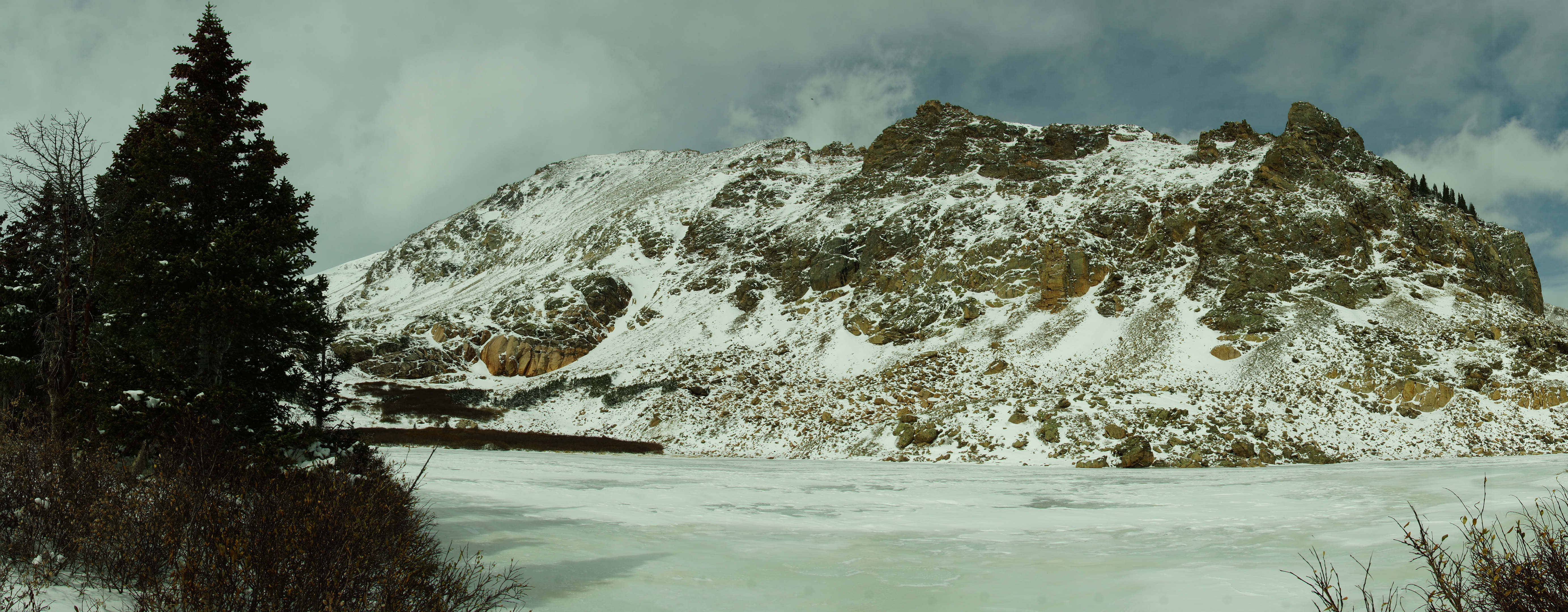
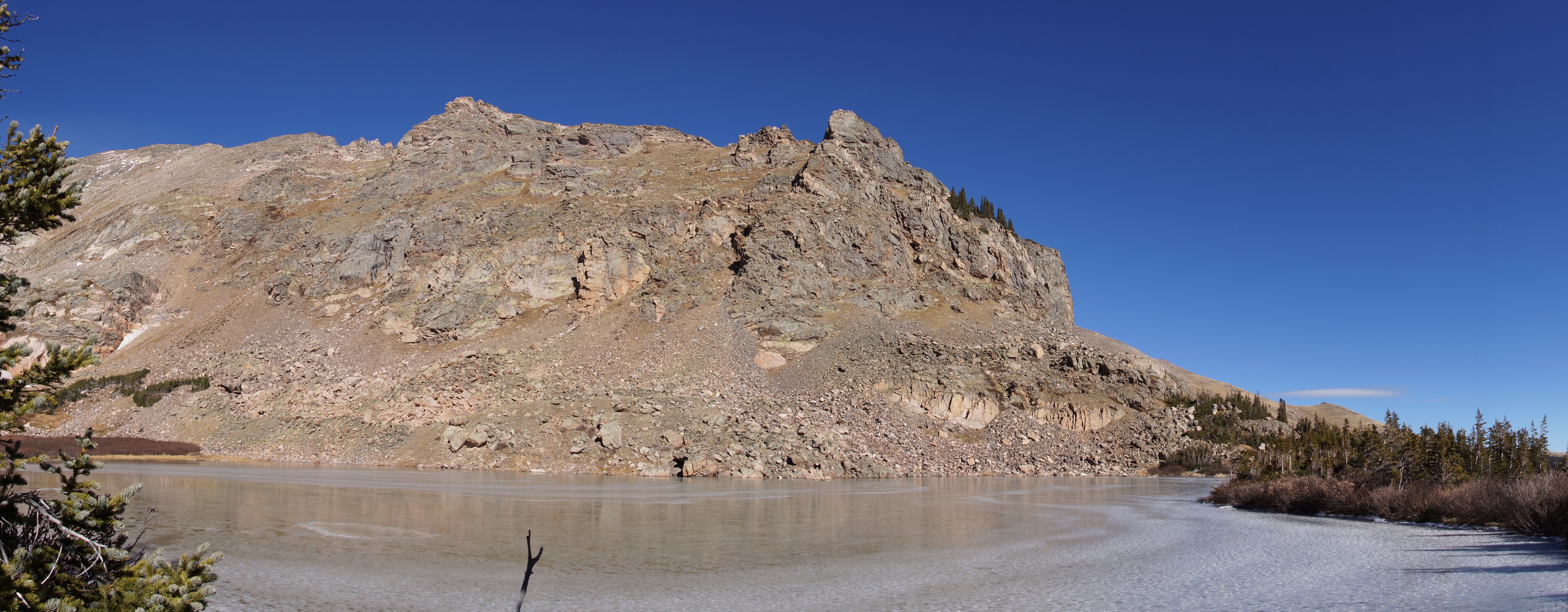
| Slater Lake panoramic. |
| Panoramic of the Fall River Reservoir from the center of the dam. |
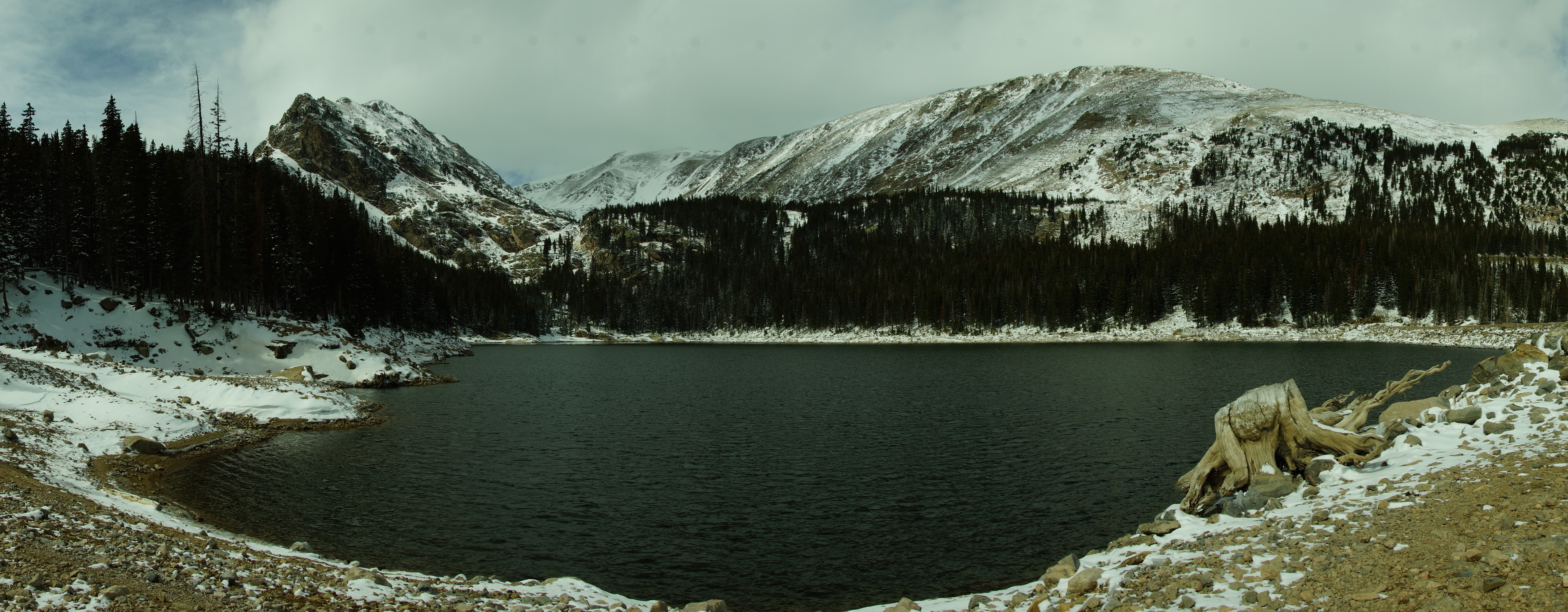
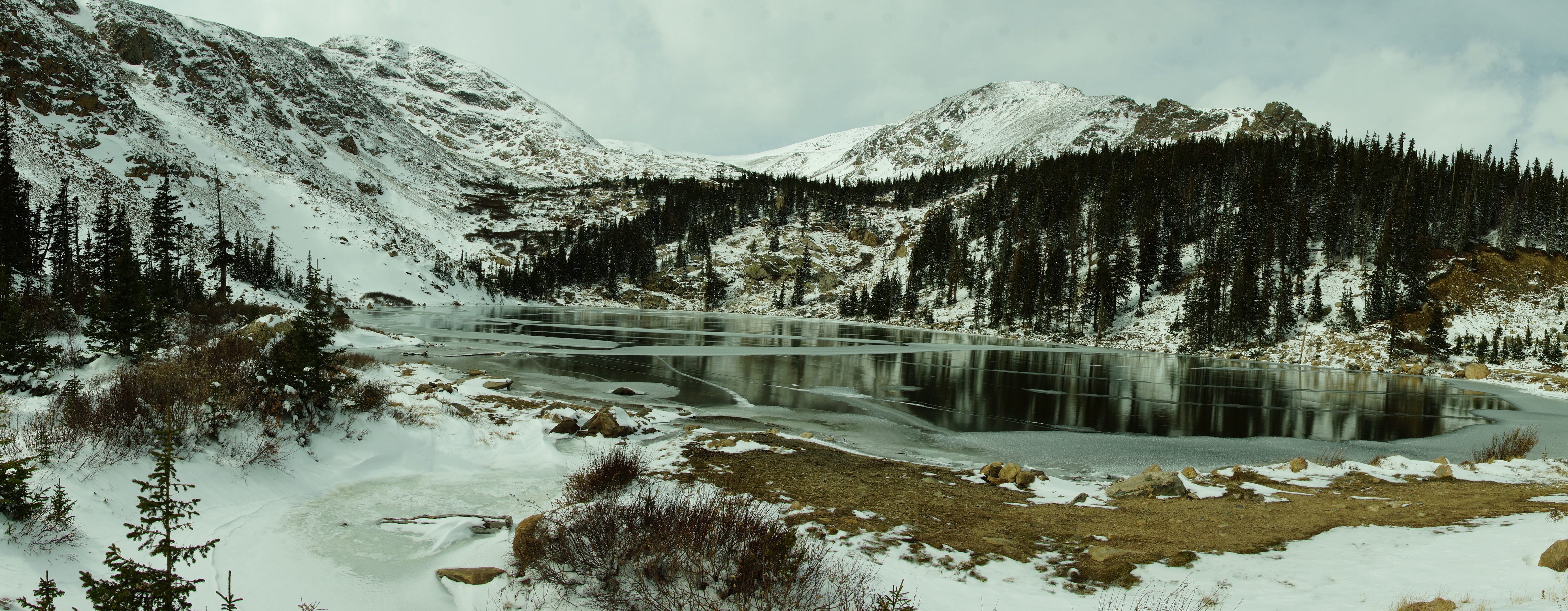
| Sherwin Lake panoramic. |
| Chinn Lake Panoramic. |


| Photos from the Chinn Lake to Slater Lake hike on 10/30/2014 |
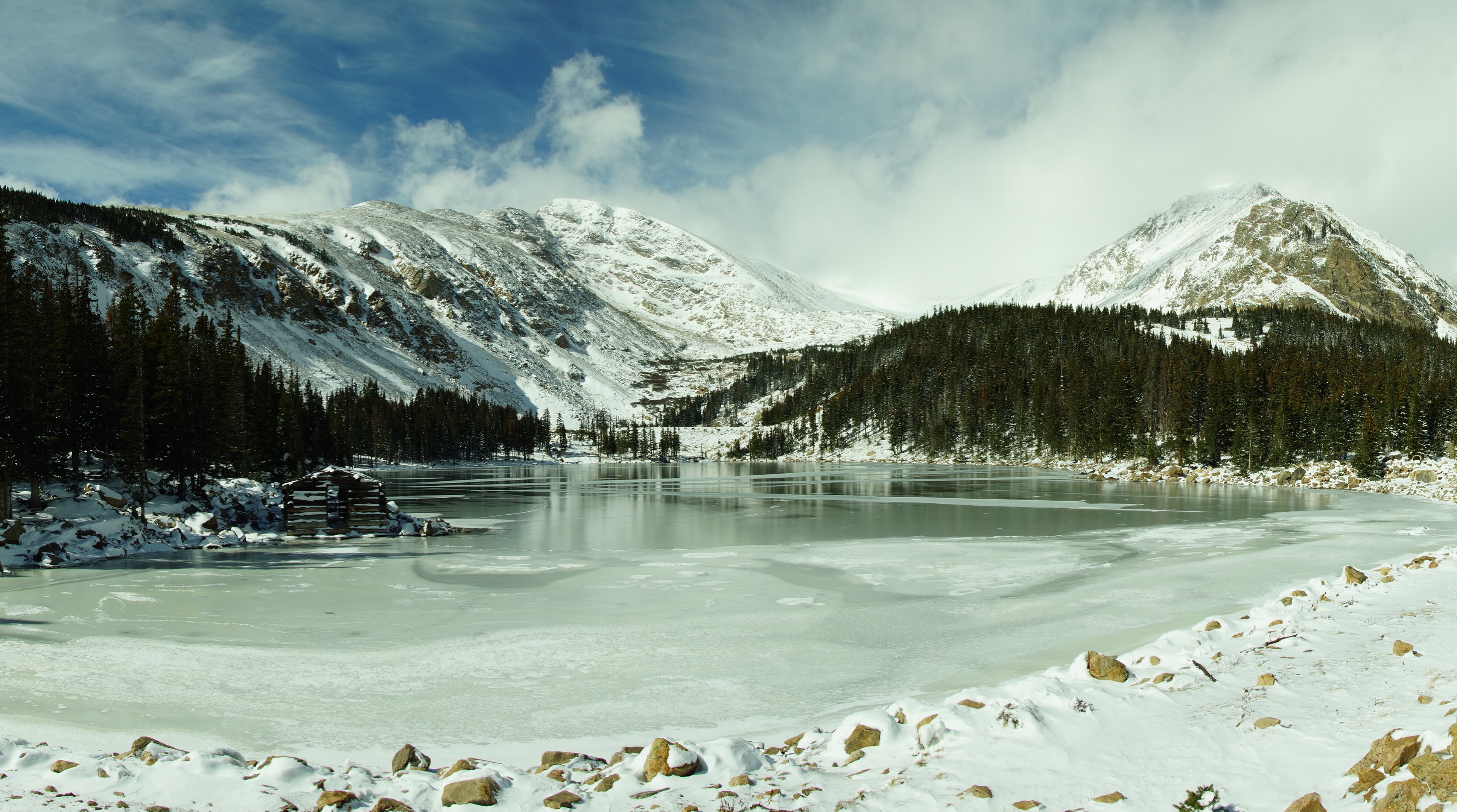
| Chinn Lake has a pioneers log cabin. |
| Chinn Lake from the dam looking west. |
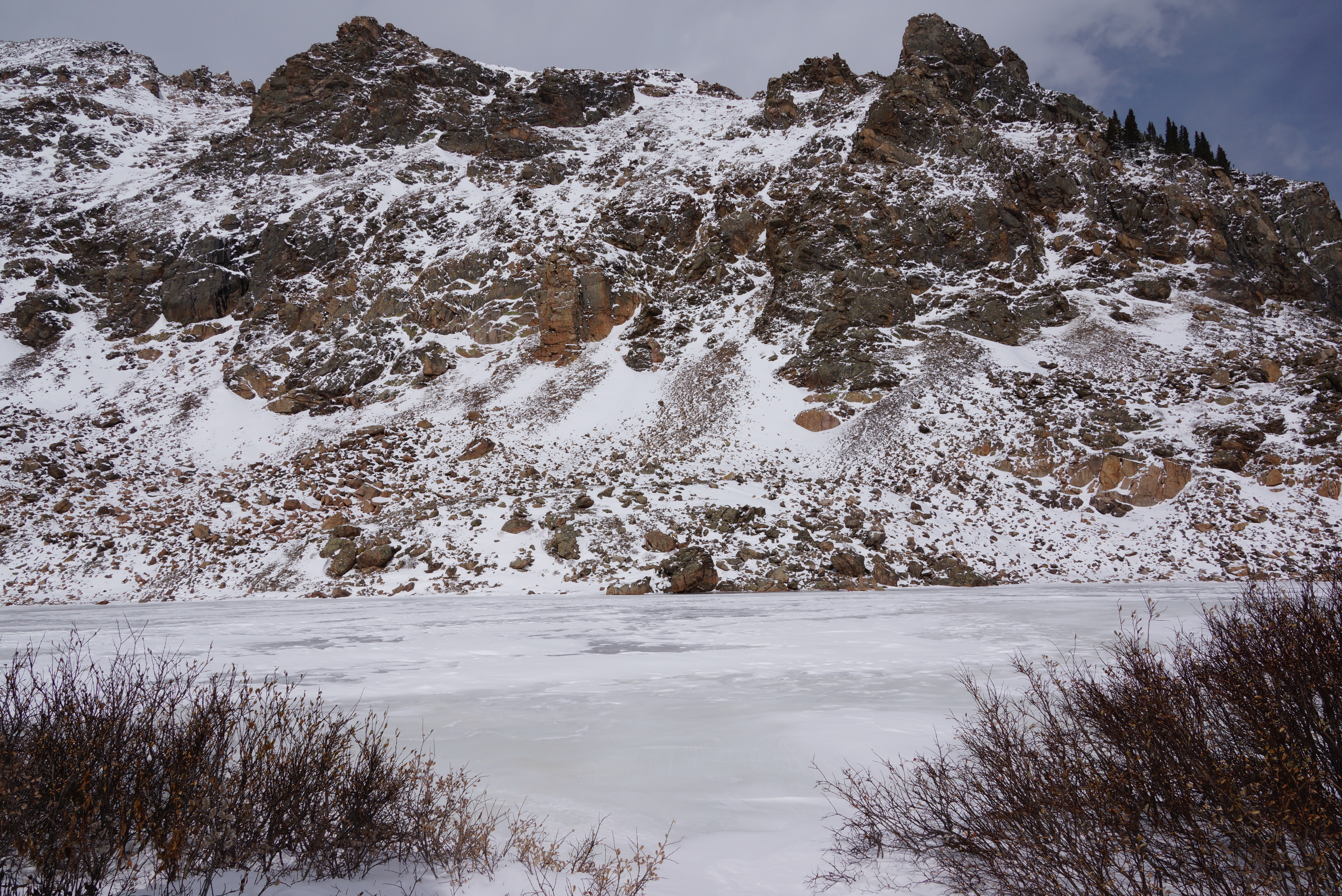
| Chinn Lake is formed by a dam. |
| Chinn Lake from the west. |
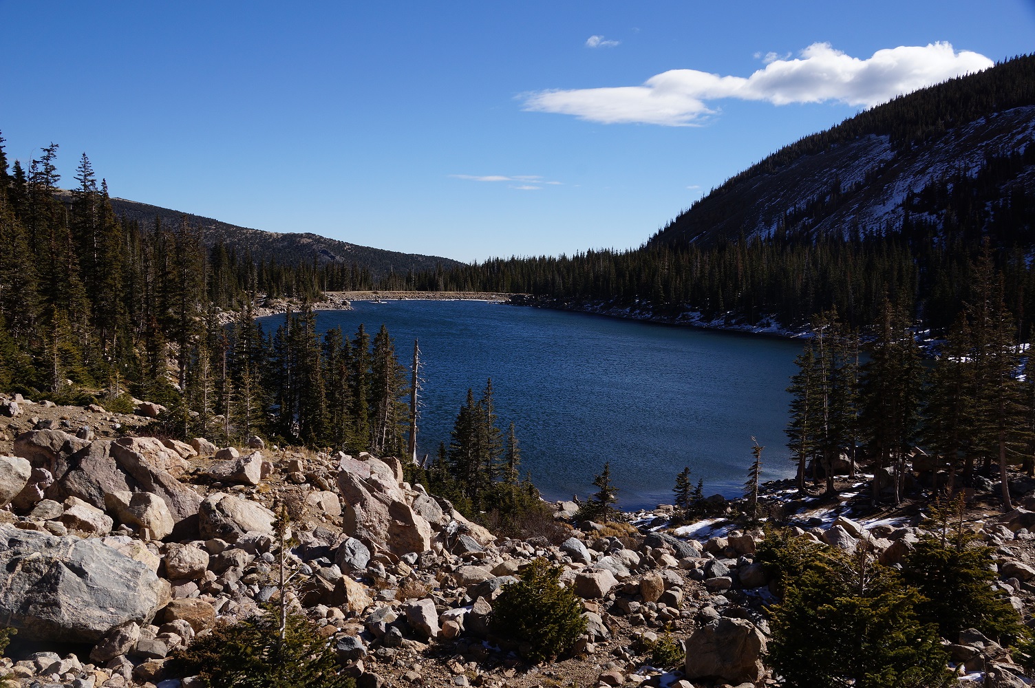
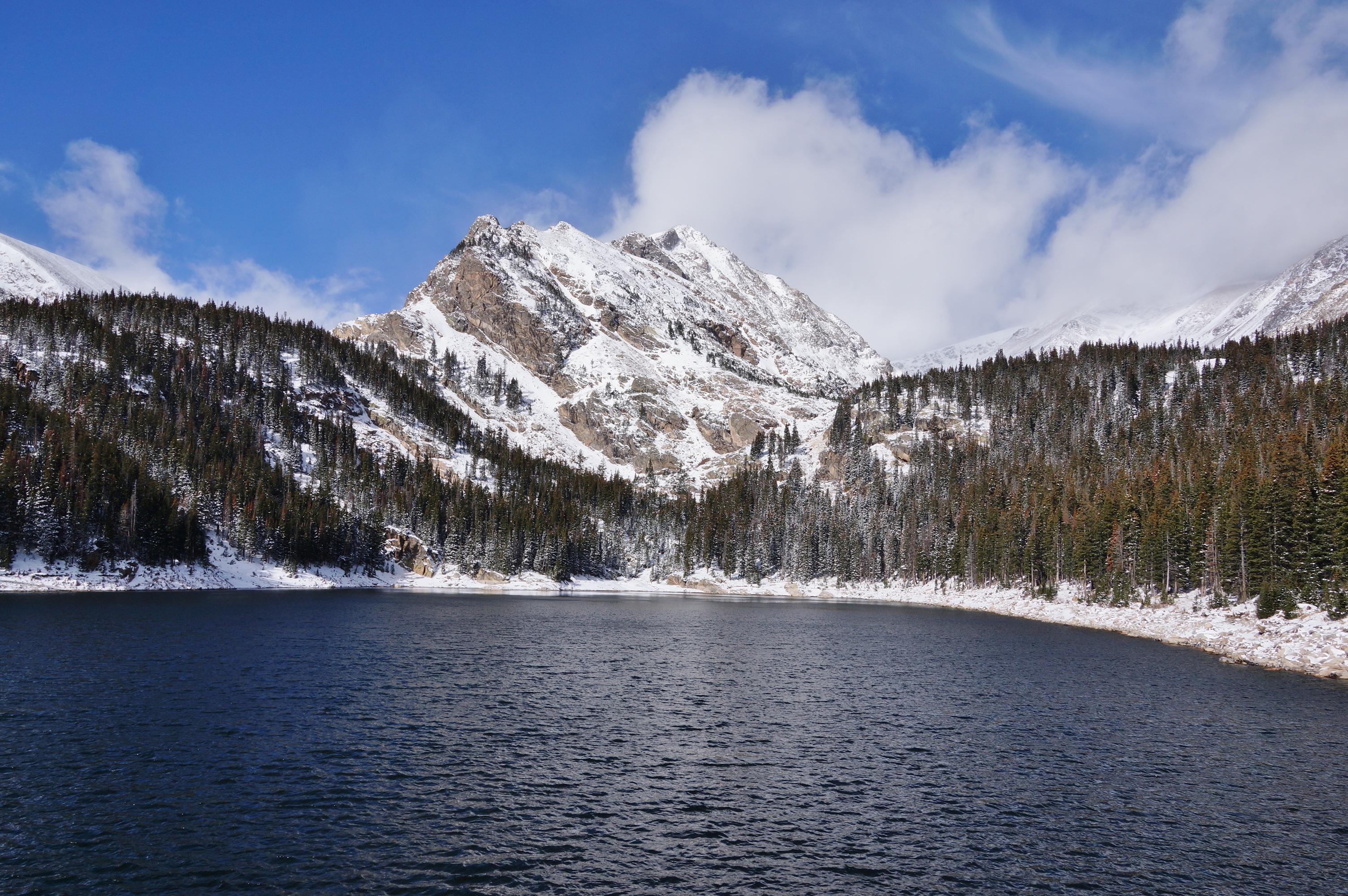
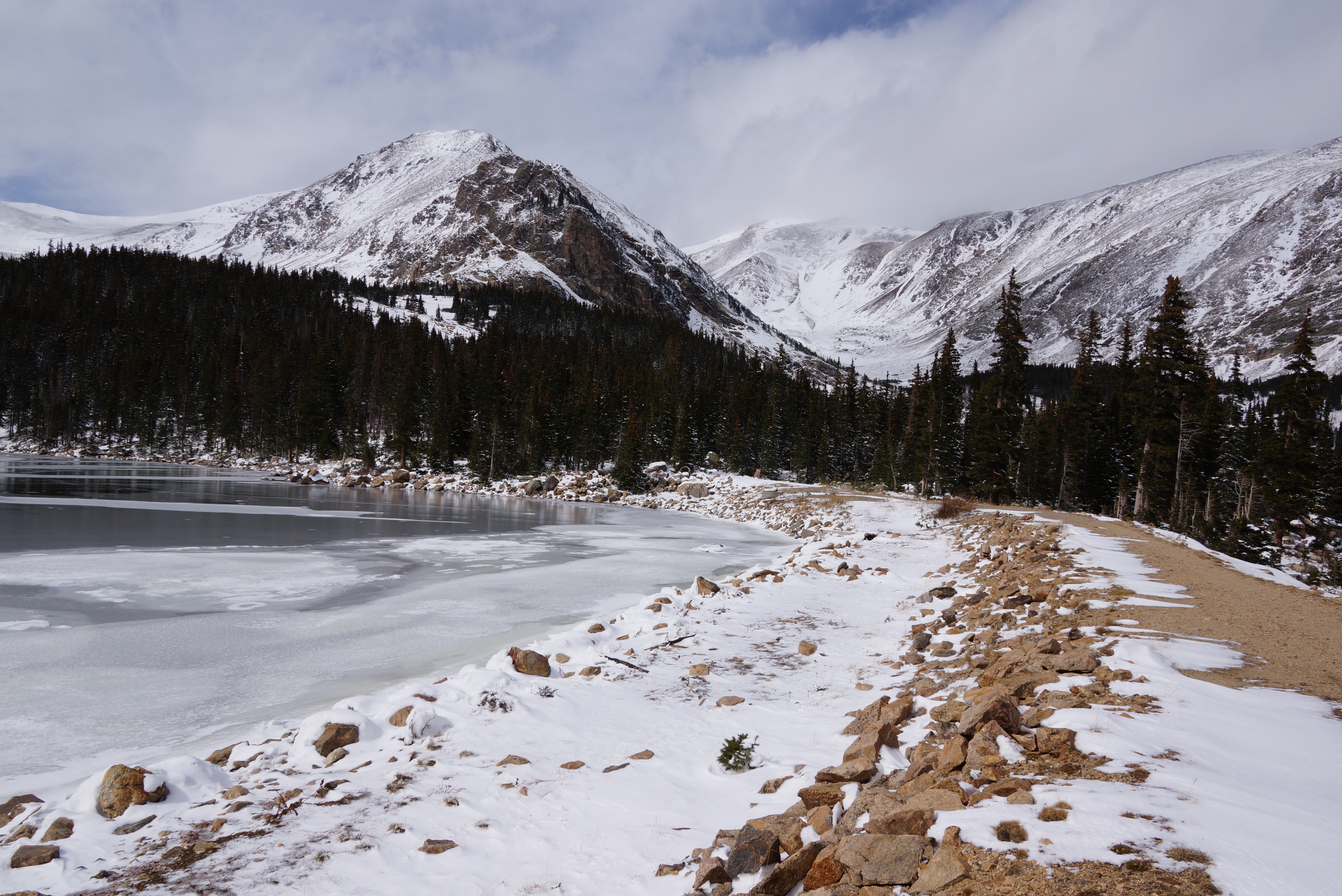
| Sherwin Lake |
| A Ptarmigan all ready for winter. |
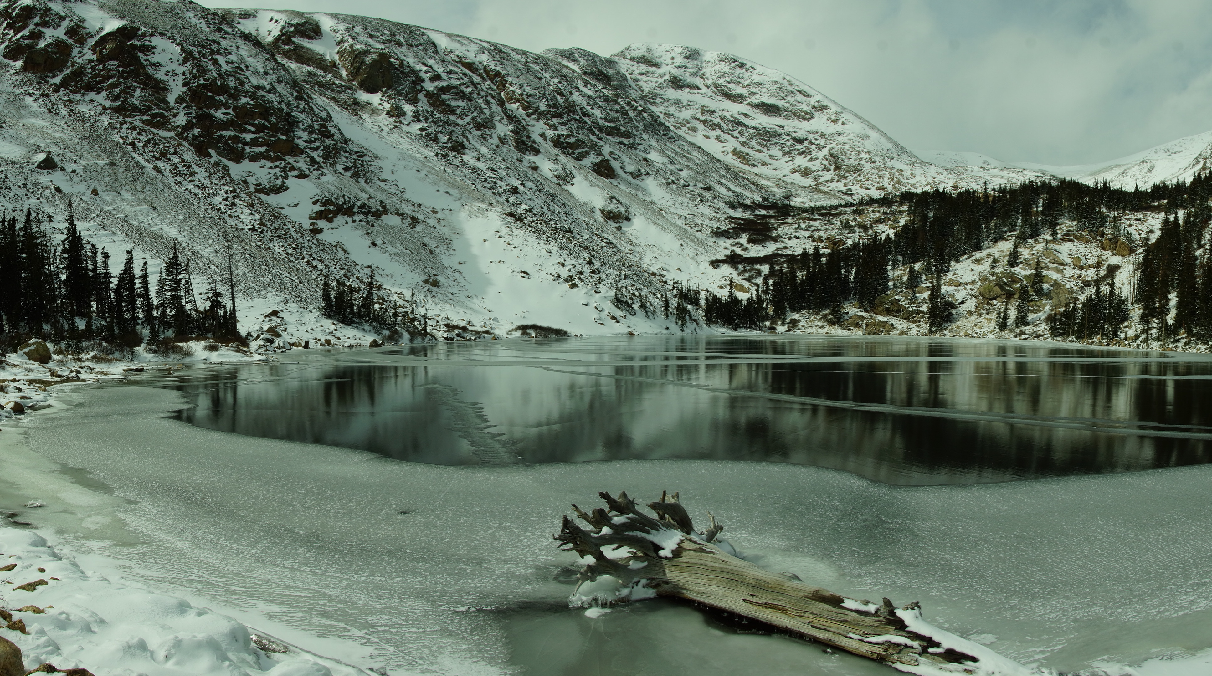
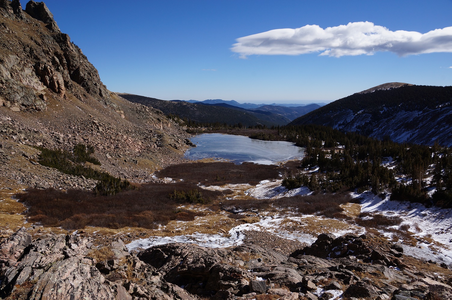
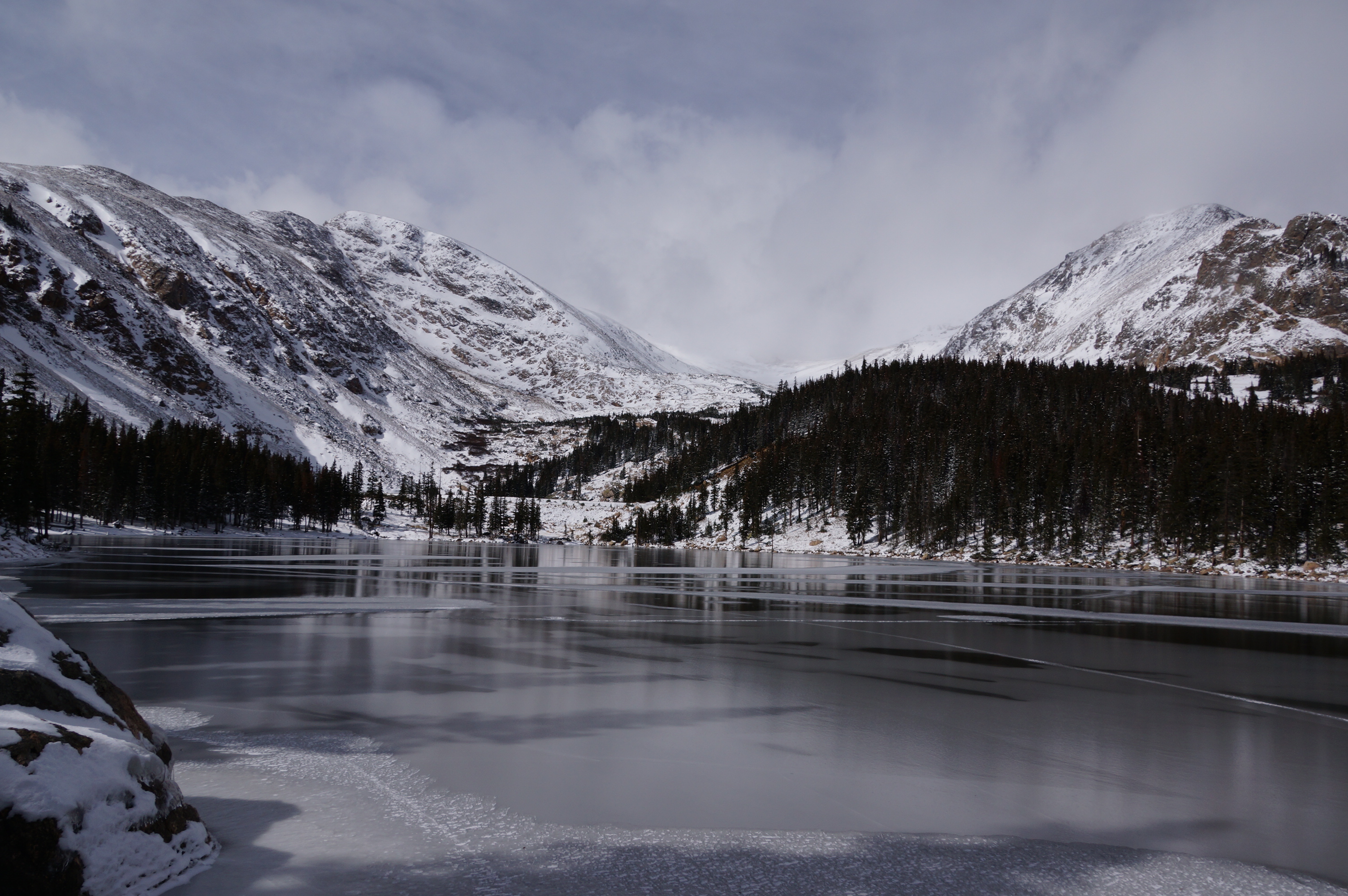
| The last lake, Slater Lake. |
| Slater Lake looking east. |
| Slater Lake from the ledge looking east. |
| Above the Slater Lake ledge is a marsh. |
| Photos from the Fall River Reservoir to Slater Lake on 10/17/2013 |
| The Fall River Reservoir from the north side of the dam. |
| Chinn Lake looking west from the log cabin. |
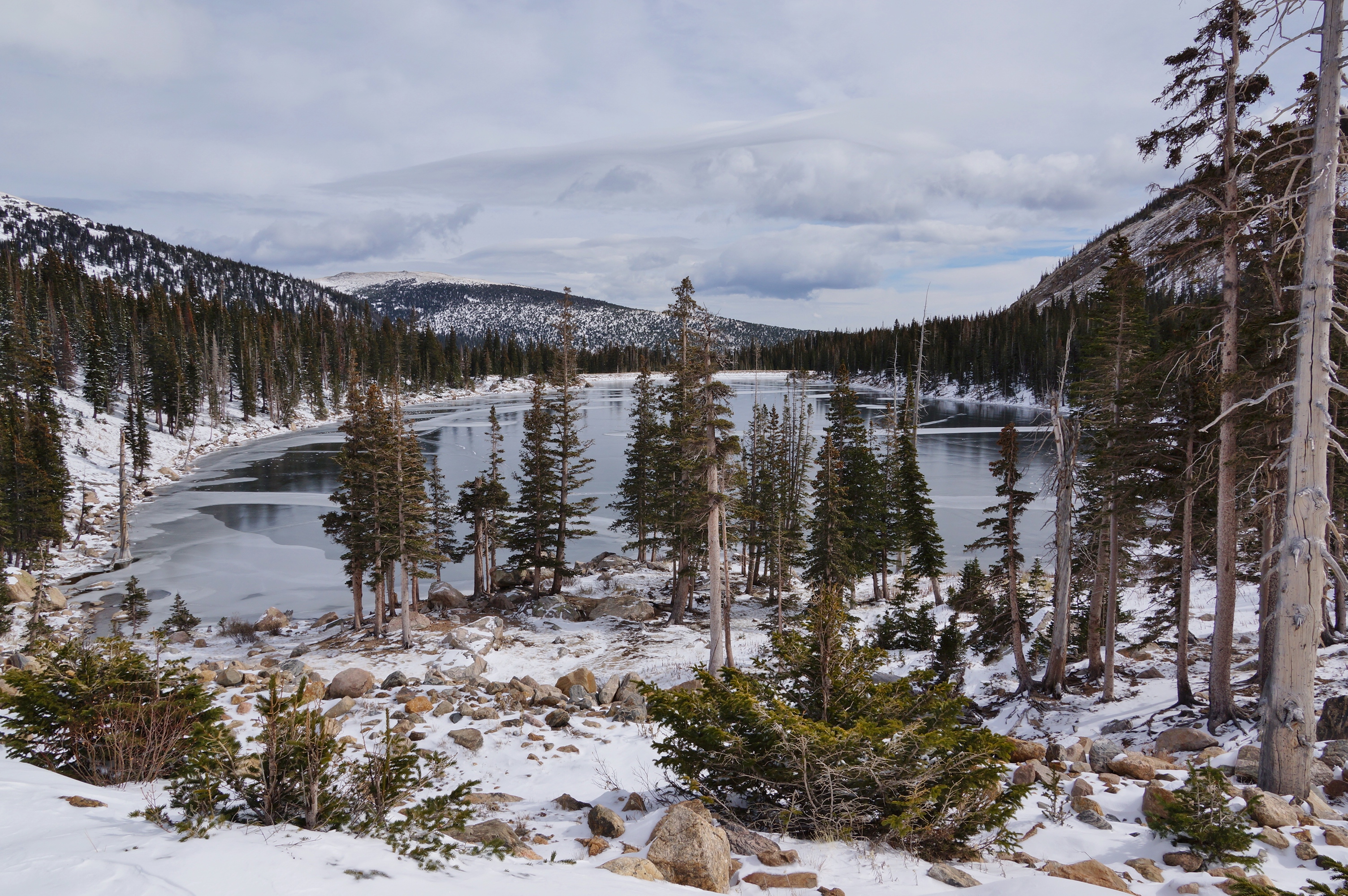
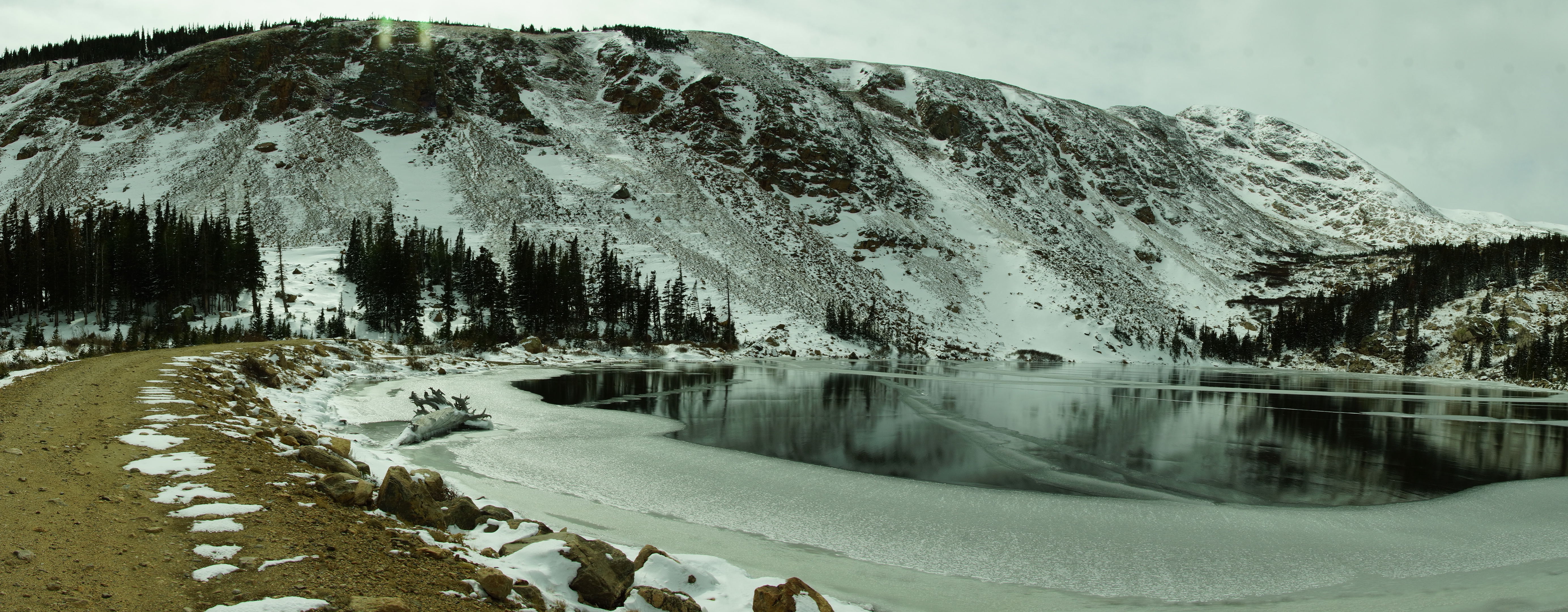
| Slater Lake was totally frozen and it was far below freezing with a wind. The snow was deep and it was hard to maneuver. |

| The Fall River Reservoir has a dam over 100' across. |
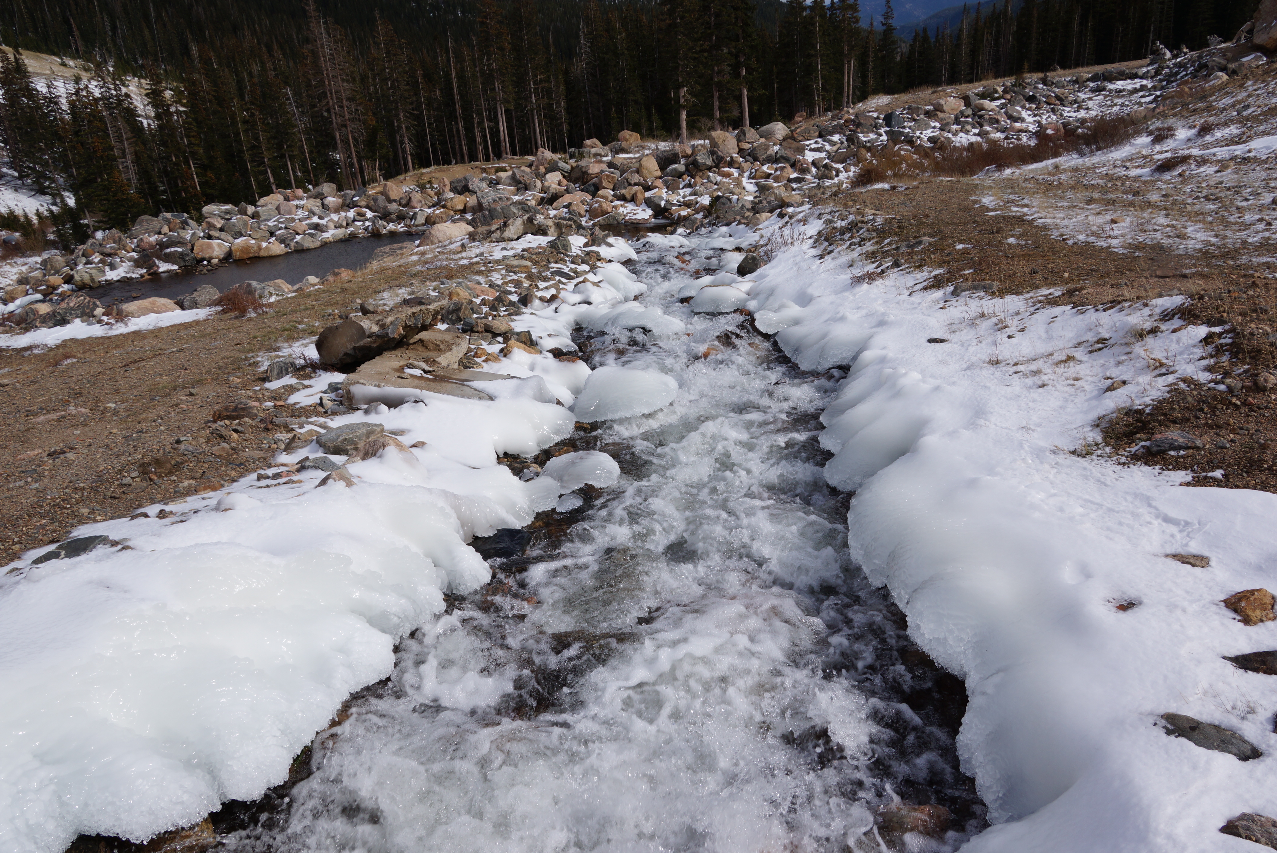
| The spillway for the Fall River Reservoir. |
| Chinn Lake also is formed by a dam. |
| Sherwin Lake from the west. |
| Sherwin Lake from the dam. |
| Sherwin Lake panoramic. |
| Photos from the Chinn Lake to Slater Lake on 10/15/2020 |
| Chinn Lake from the east after the very dry summer of 2020. |
| Chinn Lake from the west. |

| Slater Lake from the west. |
| Slater, Sherwin and Chinn Lake from the west. |


| Treeline is actually a definitive line. |
| The runoff from the Continental Divide which feeds the lakes. |
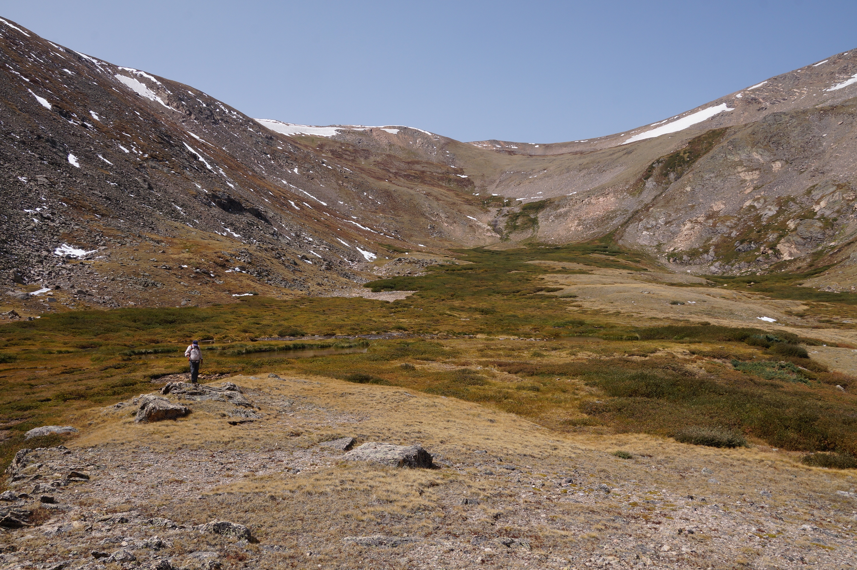
| We go to the next level over an area that is under snow 9 months a year. |
| At the next level up there is a shelter built. |
| At 11,800' we stop and go back. |
| Sherwin Lake. |
| Slater Lake looking west. |