| Butler Gulch Hike 7/29/2015 |
| This was a hike of 6.42 miles roundtrip. The elevation change was 1,367 feet. Butler Gulch is located near Henderson Mine. |
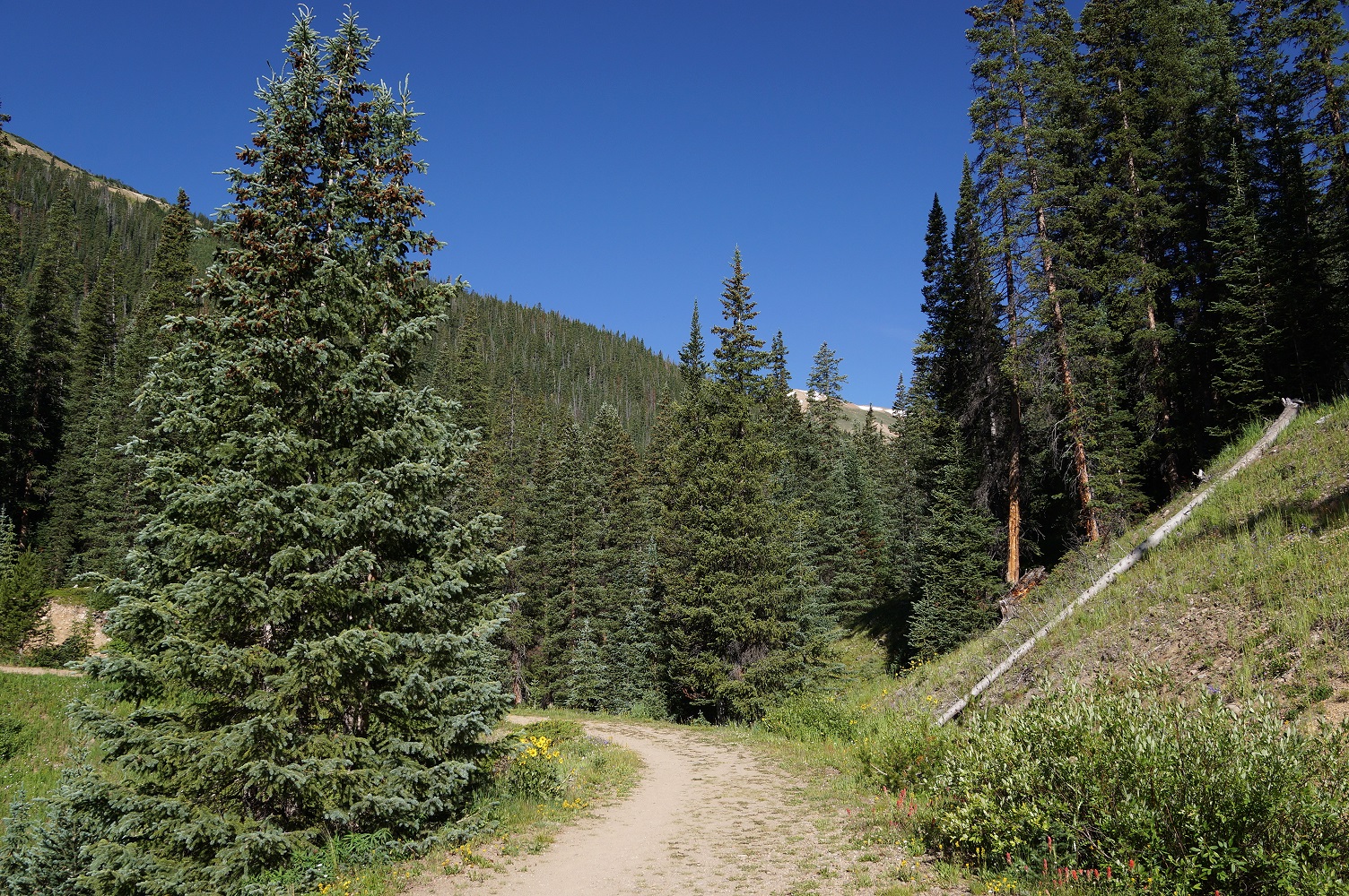
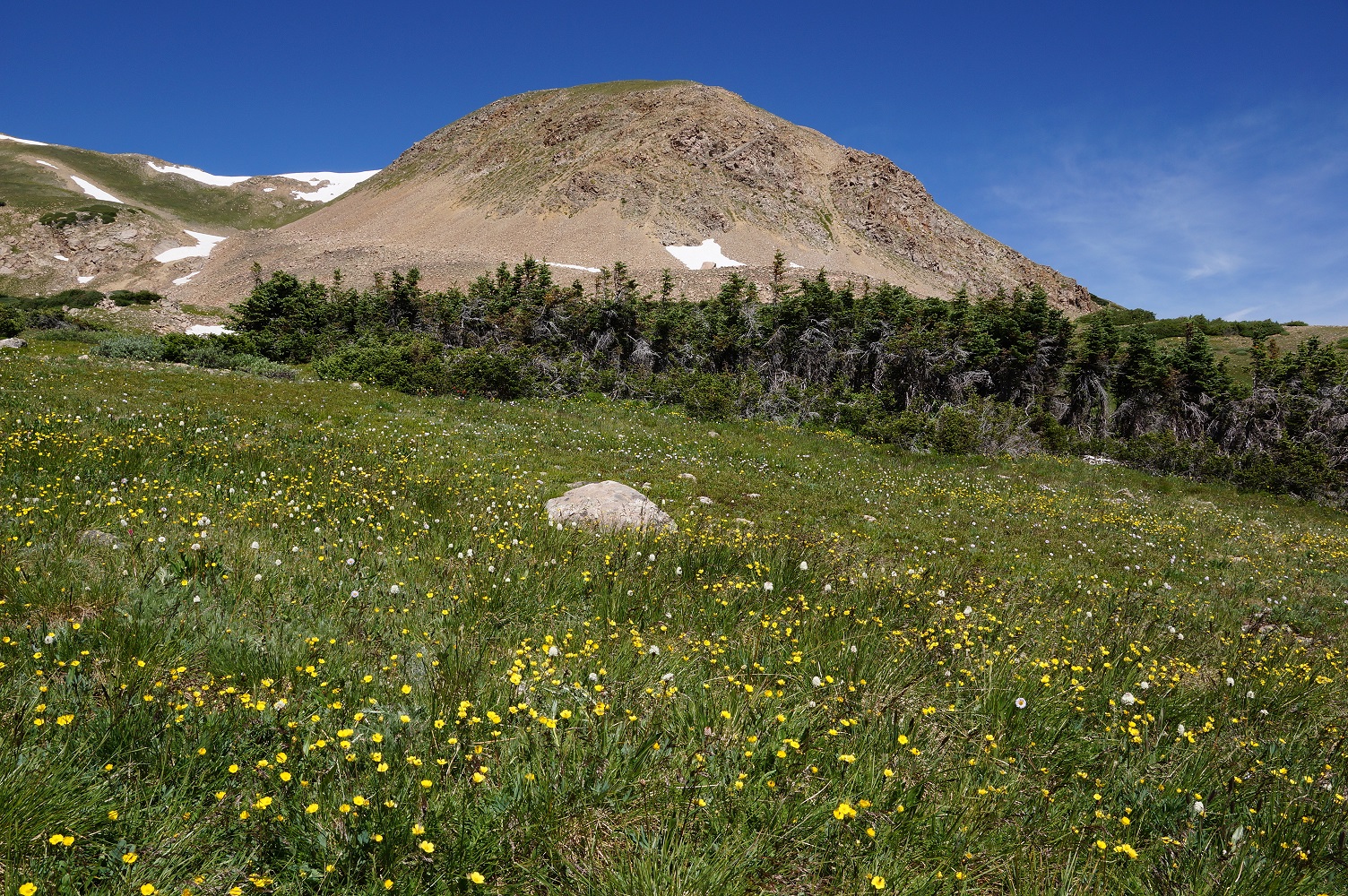
| Near the trailhead of the 6.42 mile roundtrip hike. |
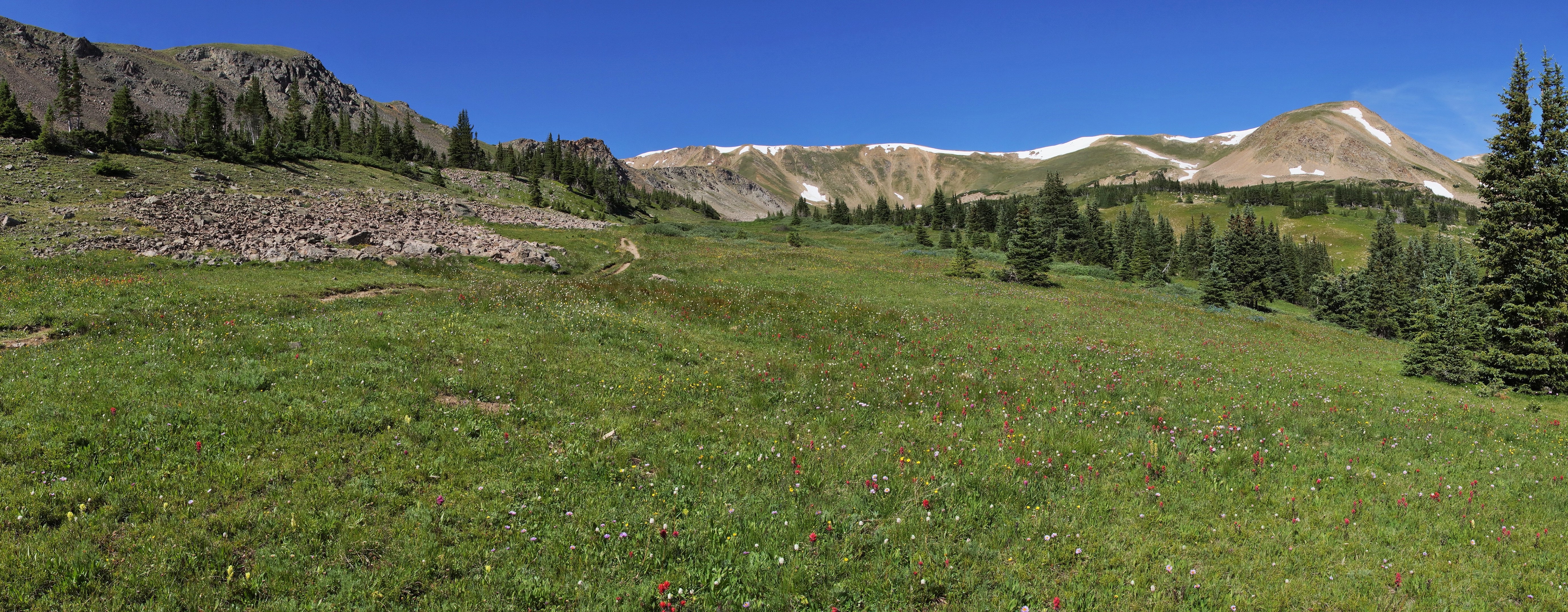
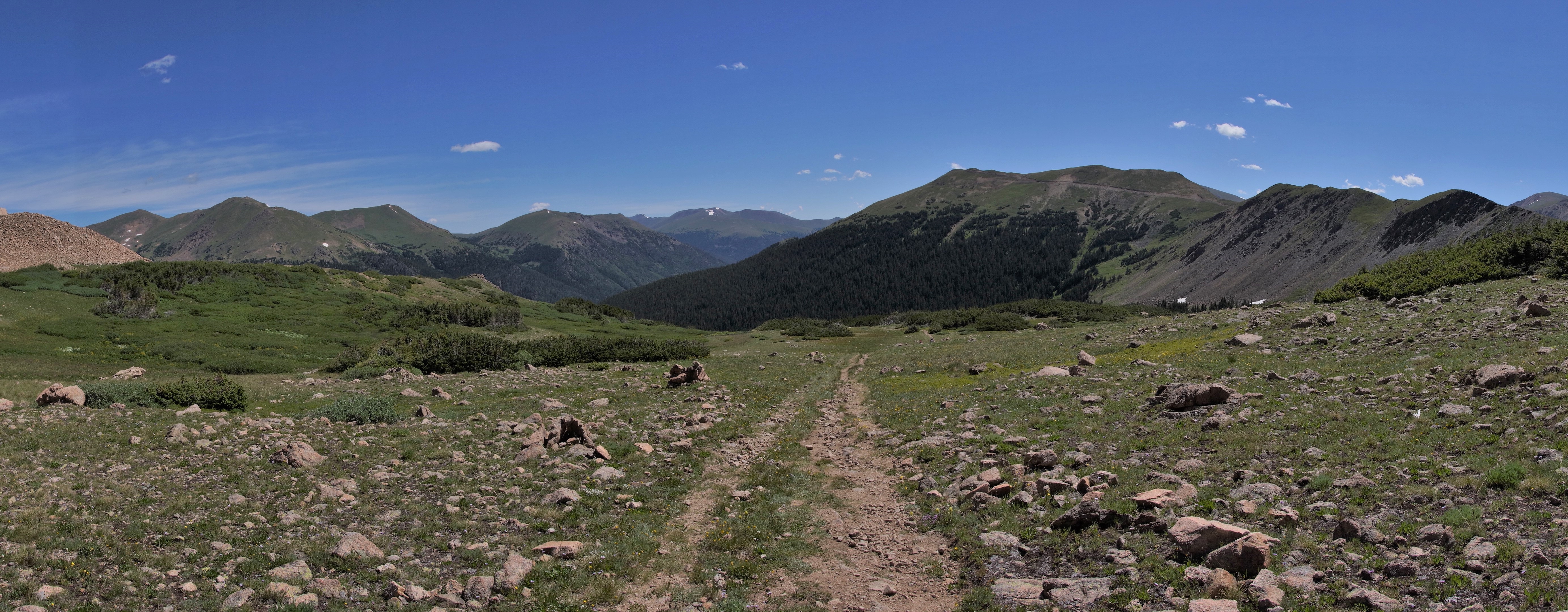
| Panoramic looking east. |
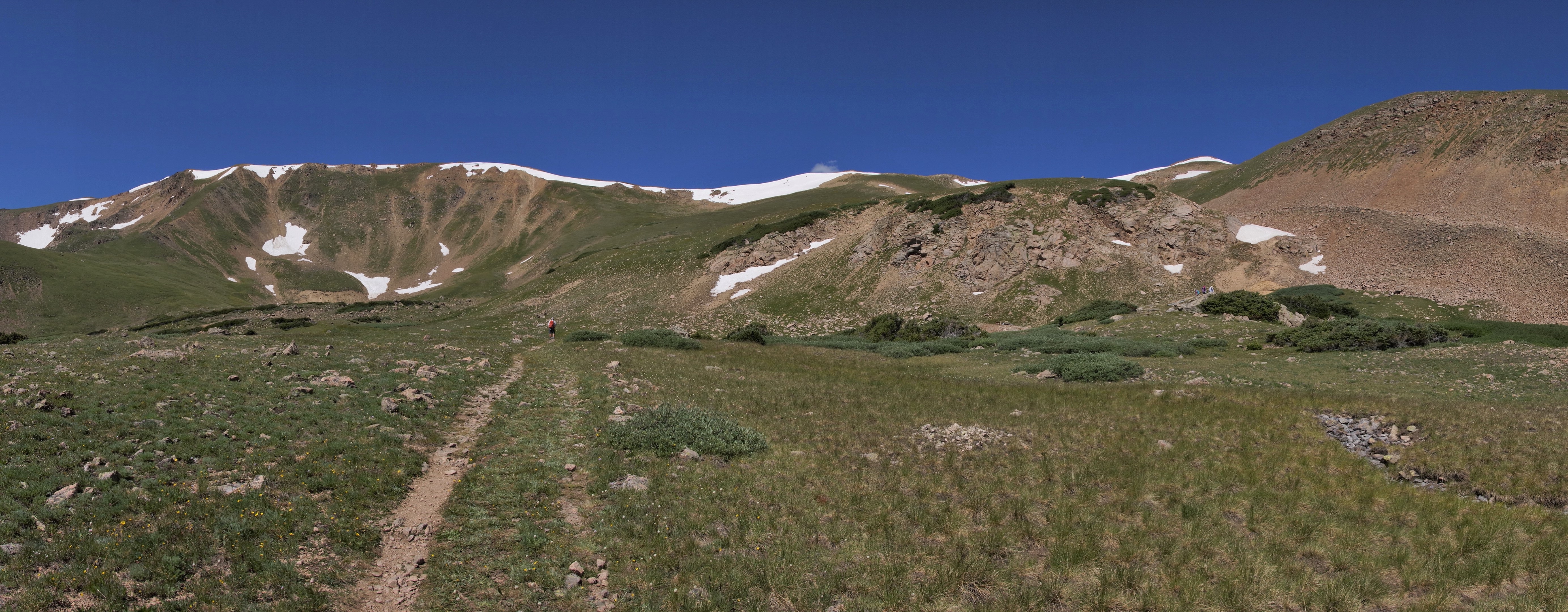
| Panoramic of Butler Gulch above tree line |
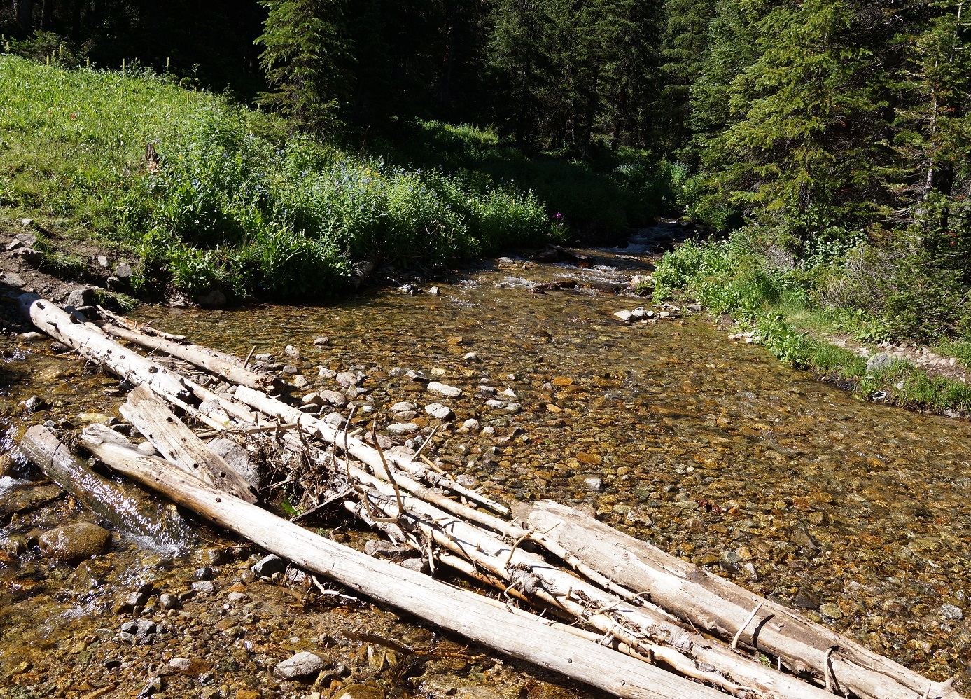
| The largest stream |
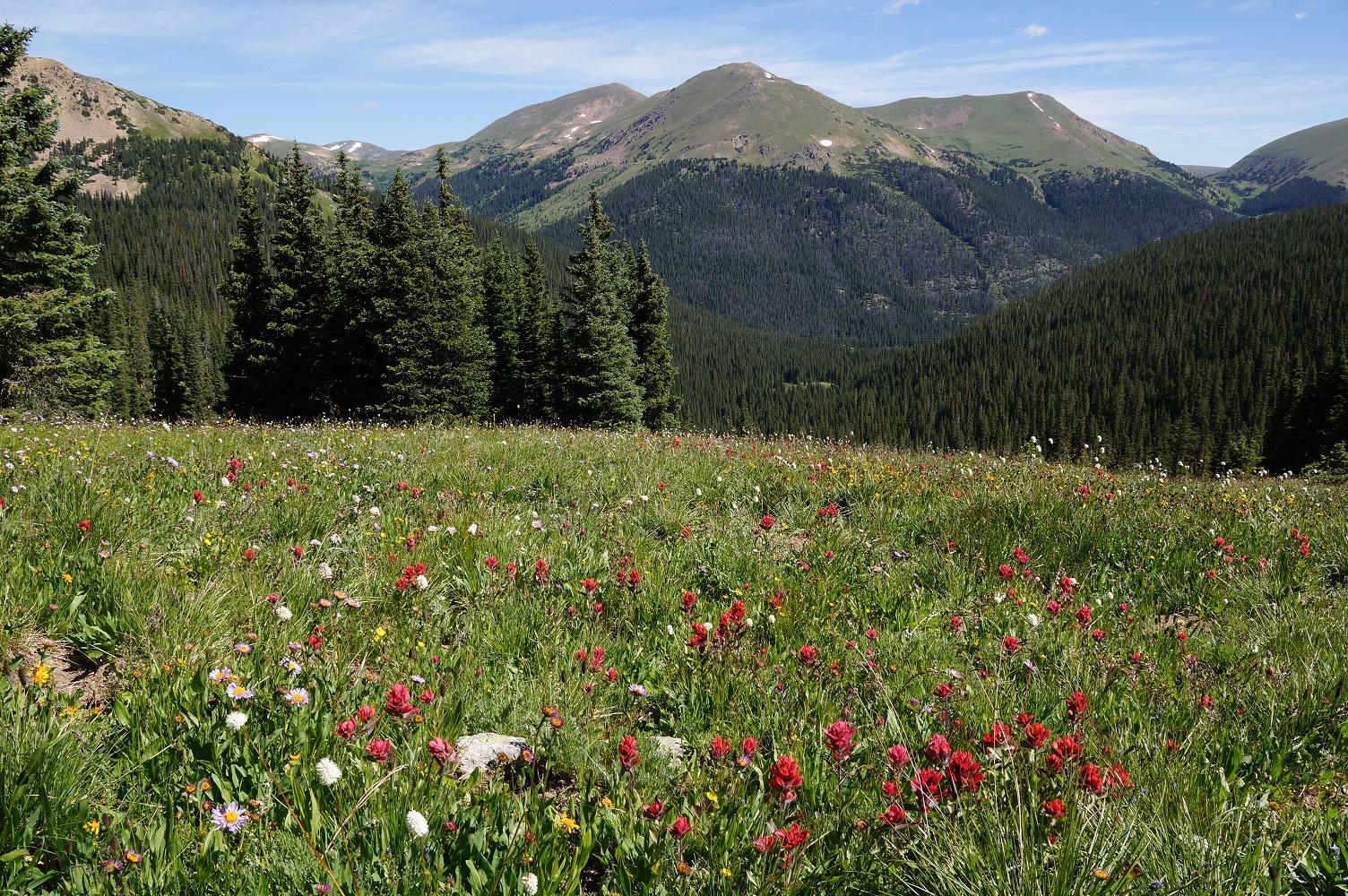
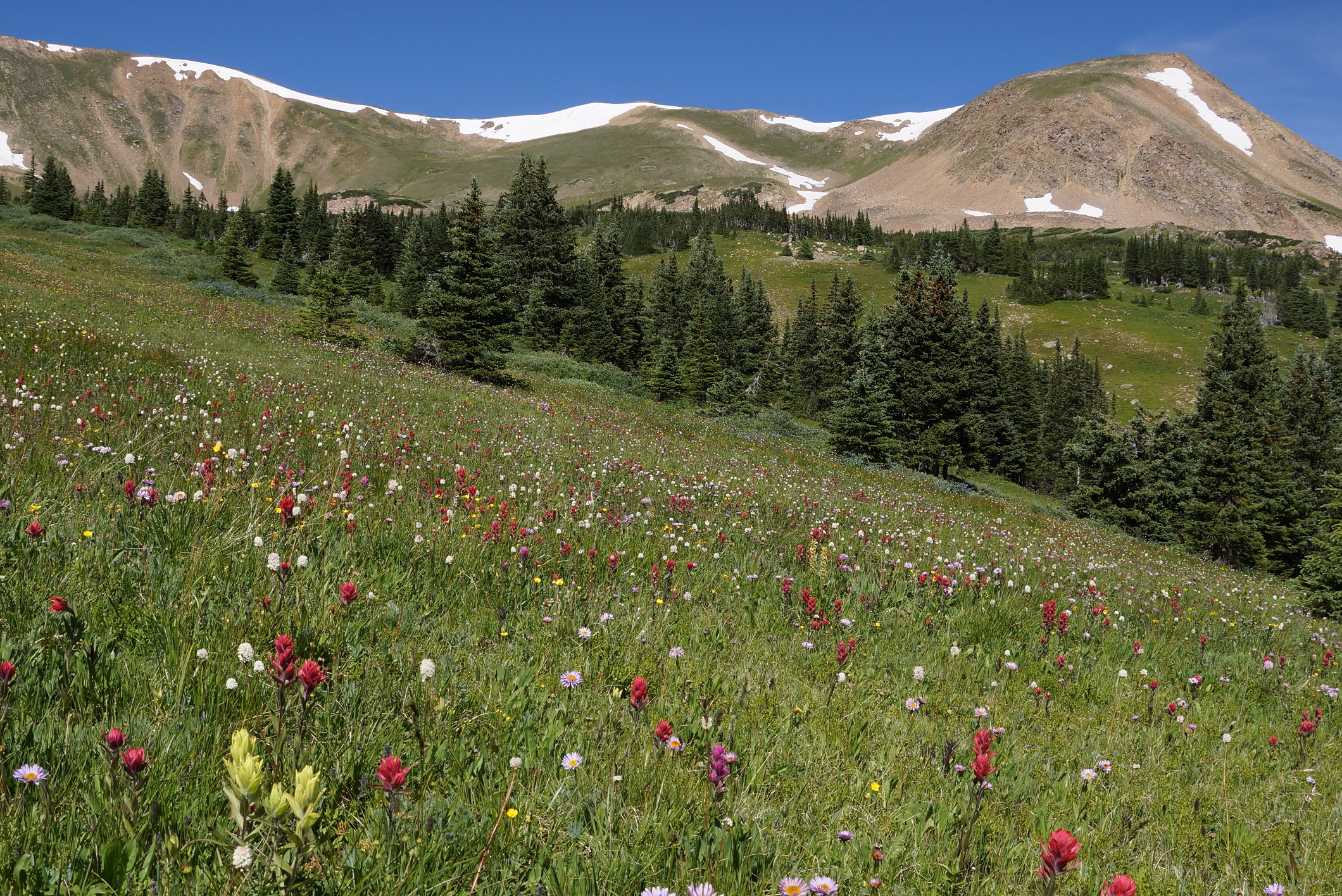
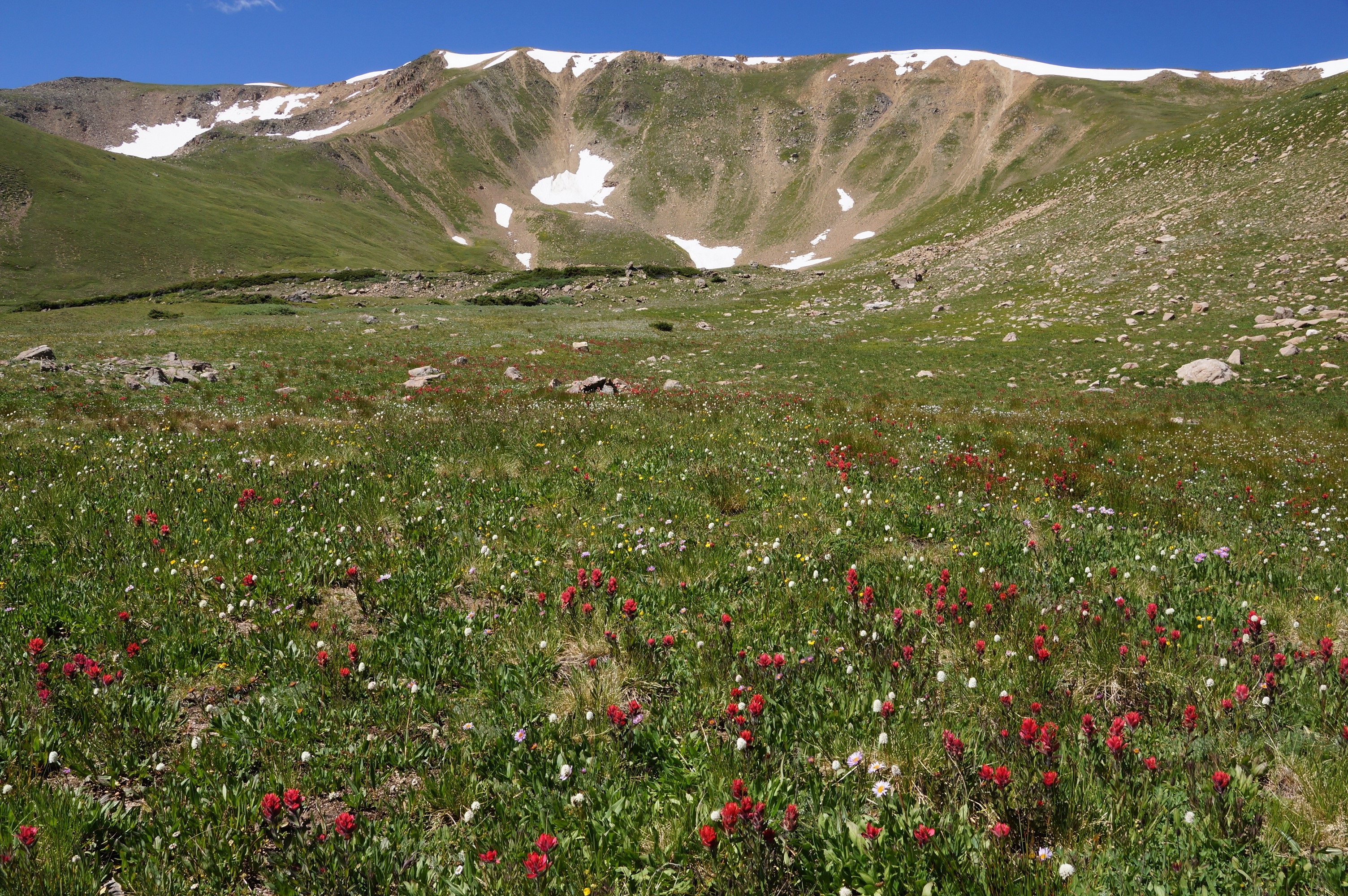
| Paintbrush field looking east. |
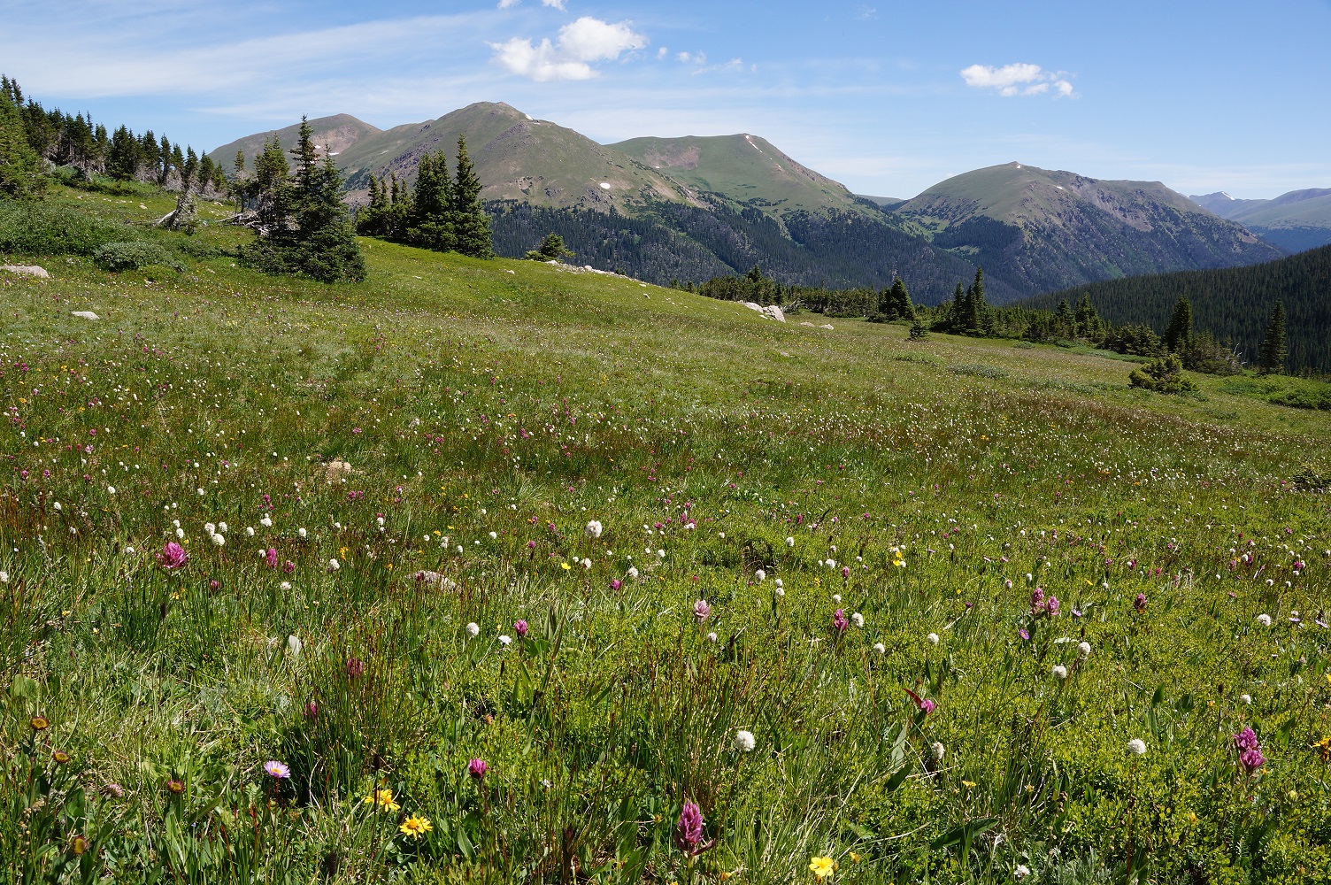
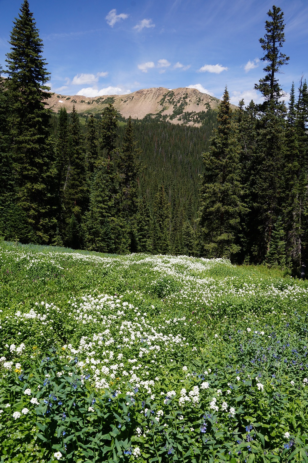
| Mixed wildflower field looking north. |
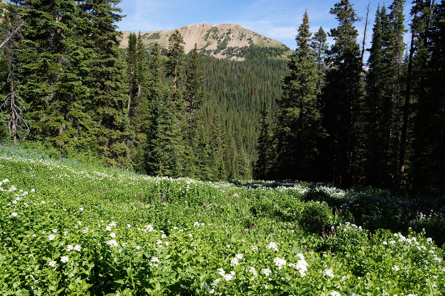
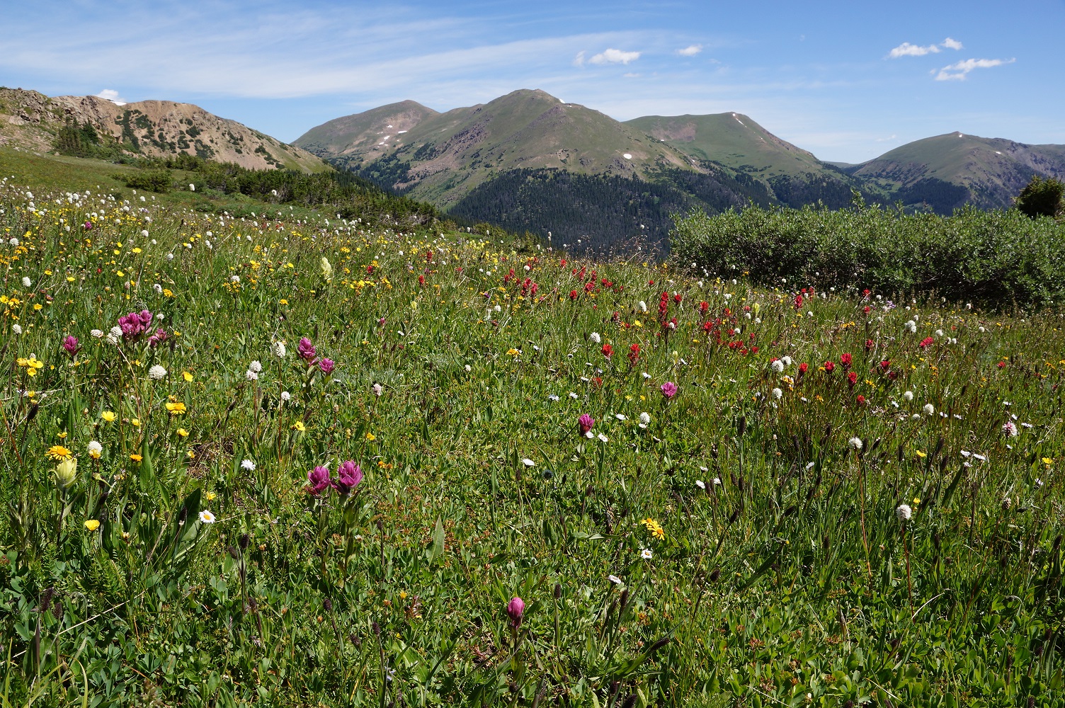
| Most small openings had many wildflowers. |
| Paintbrush field looking east. |
| The engine used to run the electricity needed for the mine. |
| The stream crossings were all just logs. |
| Looking west at above treeline. |
| We start back down with a photo from the Paintbrush field. |
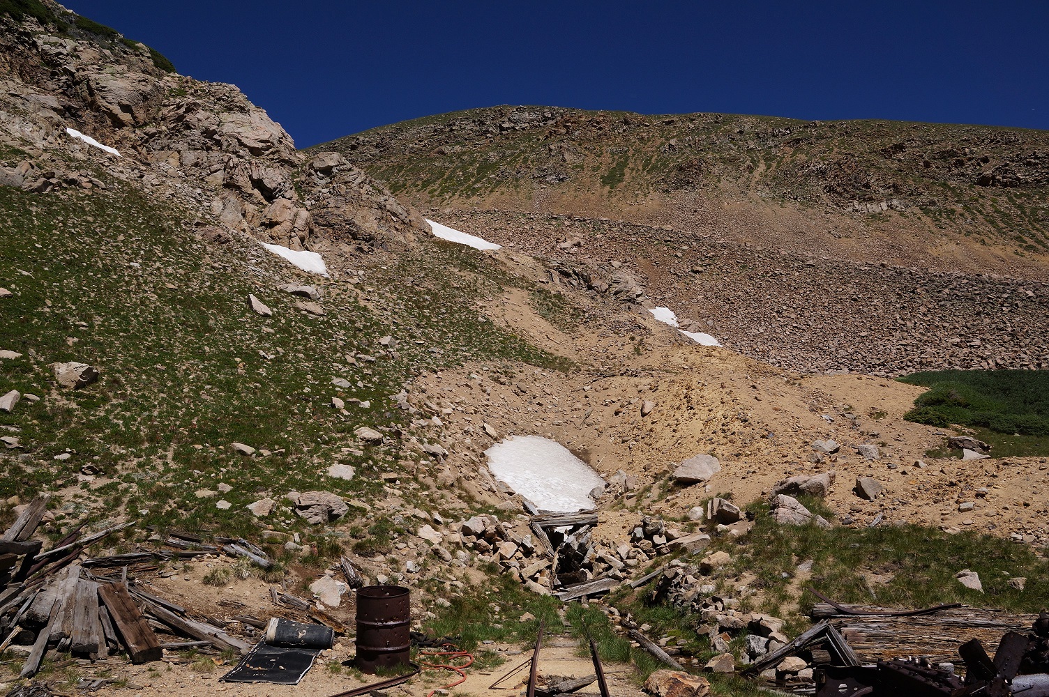
| We find a mine at the high point of the hike--11,912'. |
| A Daisy wildflower field at about half way back. |
| There was still allot of melting left at the end of July. |


| Paintbrush field looking west. |
| Panoramic looking west. |
| Paintbrush field looking west. |