| 4WD Rollins Pass Road 8/10/2017 |
| This road was originally the route for the railroad to go over Rollins Pass. The route was replaced by the Moffat Tunnel. The drive on the road is 12 miles with another 2.3 miles hike to get to Rollins Pass. The 12 mile road is 4WD only all the way. |
| As we started the drive we encounter a deer who ran staight at us. |
| Needles Eye Tunnel. Each end of the tunnel is barricaded as it is not safe. |
| The trail goes above the tunnel passing three stone shelters built above Needles Eye Tunnel. |
| Along the road by Yankee Doodle Lake is an abandoned mine still with snow. |
| Jenny Lake from Rollins Pass Road. |
| Yankee Doodle Lake from Needles Eye Tunnel. |
| The road speed for 12 miles was 4-7 mph. |
| The view as we got back on the road. |


| The view of the valley as we start the drive. |


| There are numerous cuts to pass through. |
| There are numerous dips to pass over. |

| At about the half way we reach a cut and start into a valley. |

| Yankee Doodle Lake with a Fireweed foreground. |

| The lake is at about the 9 mile point. |

| There are many wildflowers along the road. |

| Soon the road turns to go much higher. |


| We have a Marmot encounter. |
| We have to park as we come to a blocked road. We are now 2.3 miles from Rollins Pass. |
| This blocks the road for all vehicles. This is 12 miles from the Moffut Tunnel start. |

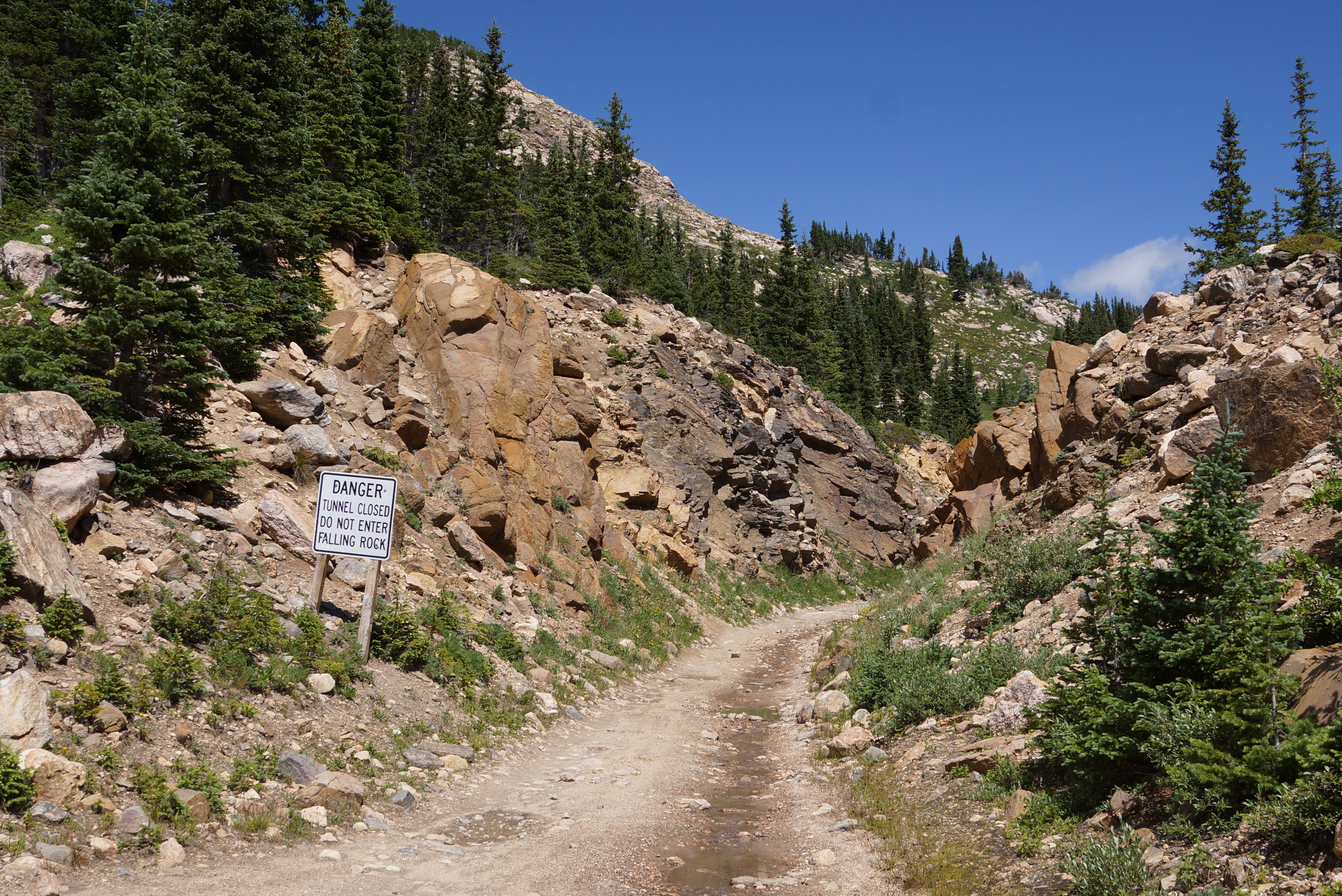
| The sign already warns about Needles Tunnel. |
| The unpassable road. We must now hike the 2.3 miles to Rollins Pass. |
| Panoramic of Jenny Lake from between the blocked pass and the Needles Eye Tunnel from Rollins Pass Road. |


| Soon we come to another blocked pass. |
| The pass is met by a trestle bridge on the west side. |

| Now we need to cross a very old railroad bridge. |

| Soon there is a 2nd railroad bridge. |


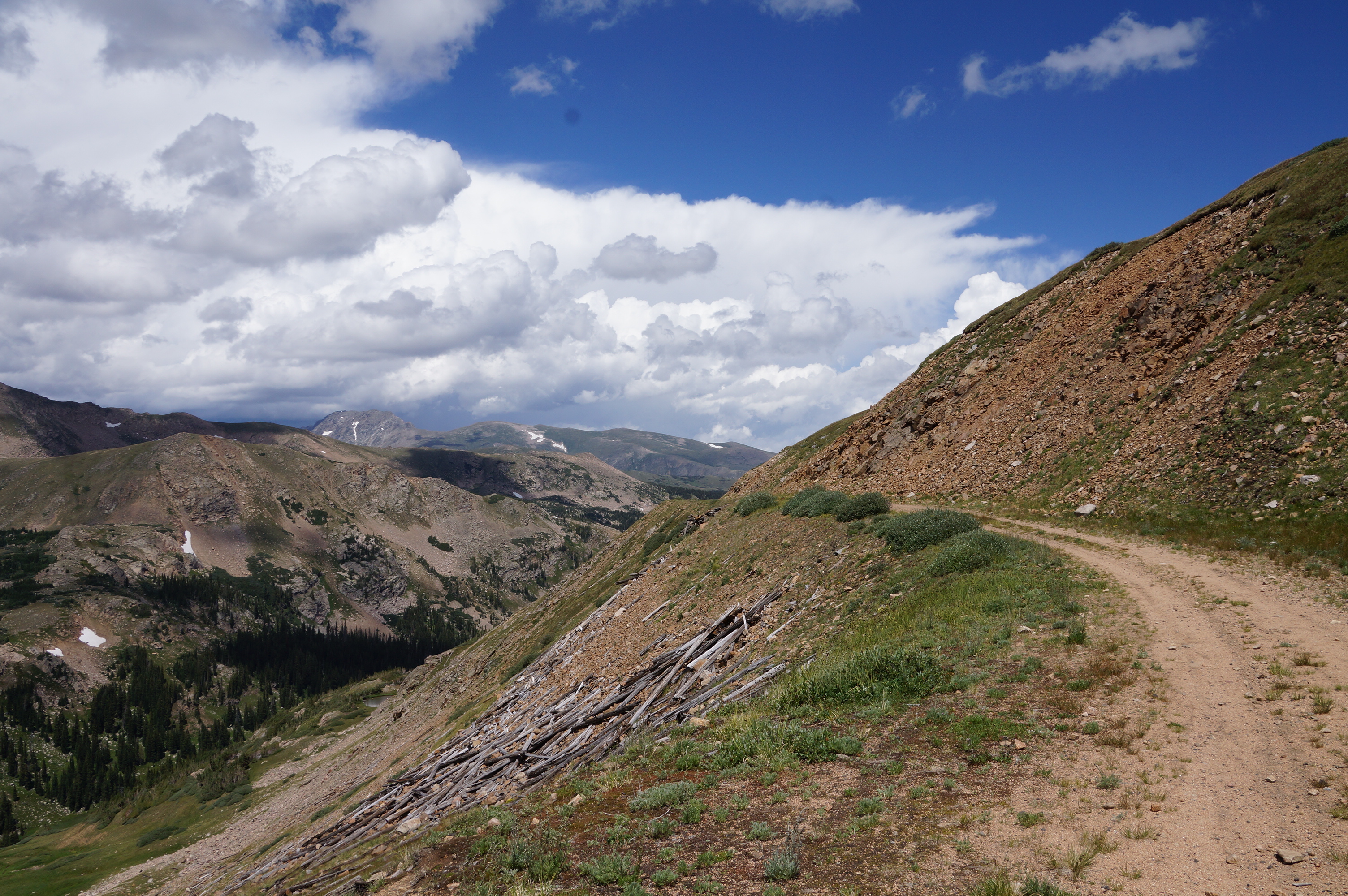
| The view as we approach Rollins Pass. |

| Rollins Pass at 11,698' and 2,463 verticle feet from Moffat Tunnel. |


| The view to the northeast from Rollins Pass |
| The start of Rollins Pass Road from Rollins Pass. |

| As start back we notice dark clouds forming over South Arapaho Peak. |
| The view to the north. |

| In 14 minutes South Arapaho Peak is disappearing with the fast moving storm. |

| With over 2 miles to go we are in rain, lightening and thunder by the time we get to the tunnel. |

| King Lake with the two railroad trestles on the side of the mountain. |
