| Hike South Arapaho Peak 9/30/11 |
| This is a very scenic 10 mile roundtrip hike of 3,162 vertical feet. There was still much snow left from the previous winter. |
| To the south of the summit is Dorothy Lake. |
| The valley to the south from about half way up to the summit. |
| South Arapaho Peak and Arapaho Glacier. |
| Many lakes formed by melt from Arapaho Glacier. |
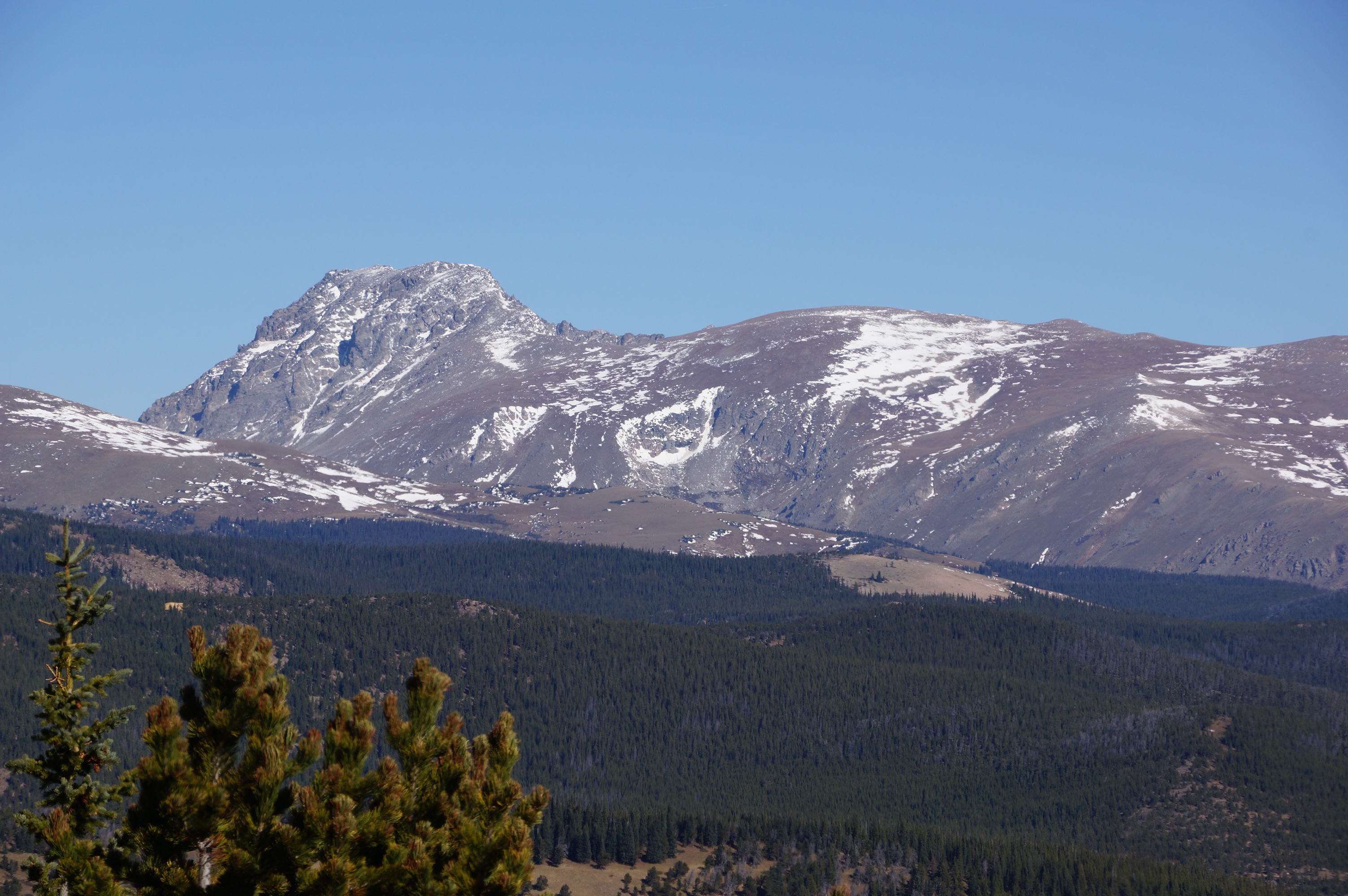
| North Arapaho Peak (13,502) is to the north of South Arapaho Peak. |
| The turn is at a flat plateau where we start on the Arapaho Glacier Trail. |
| The summit of South Arapaho Peak (13,397). |
| Fat Marmots prepared for winter. |
| At the summit of South Arapaho Peak. |


| From the summit of South Arapaho Peak looking southwest. The lake in center-left is Dorthy Lake. |
| Near the summit of South Arapaho Peak. |
| Near the summit of South Arapaho Peak. |
| South Arapaho Peak from the southeast from Diamond Lake. |

| South Arapaho Peak from the south. Taken from near James Peak. |

| South Arapaho Peak from the southwest. Taken from the Caribou Pass hike. |


| The hike to the summit of South Arapaho starts at the 4th of July Trailhead. |

| Taking the Arapaho Trail at first takes you far above the valley. |

| The Arapaho Glacier Trail is very rocky from here. A detour is required to get to the summit. |
