| Shoshoni Peak Hikes 09/19/2013 & 07/22/2014 |
| There were two attempts to hike the summit of Shoshoni Peak. The first was stopped by the weather. The 2nd in 2014 was stopped at Pawshoni Peak because of a cliff. We stopped at 12,873 feet for a climb of 2,267 feet and 5.5miles one way. The 2nd hike photos are first. |
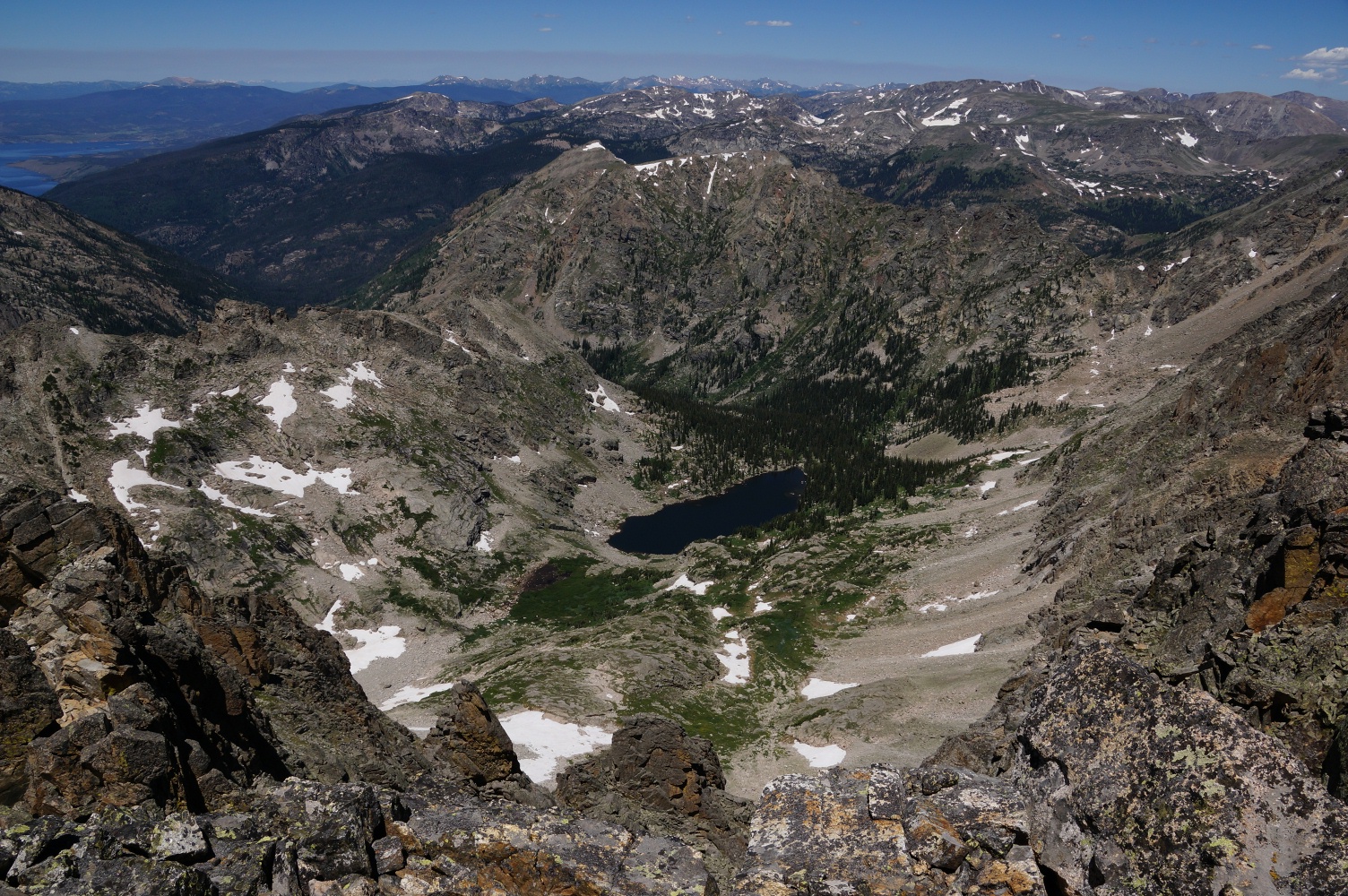
| Pawnee Lake Valley from Pawshoni Peak (12,878') north of Shoshoni Peak. |
| Our destination, the summit of Shoshoni Peak. |
| The trailhead for Pawnee Pass |
| The wildflowers were just emerging. |

| There were many snowfields on July 22. |






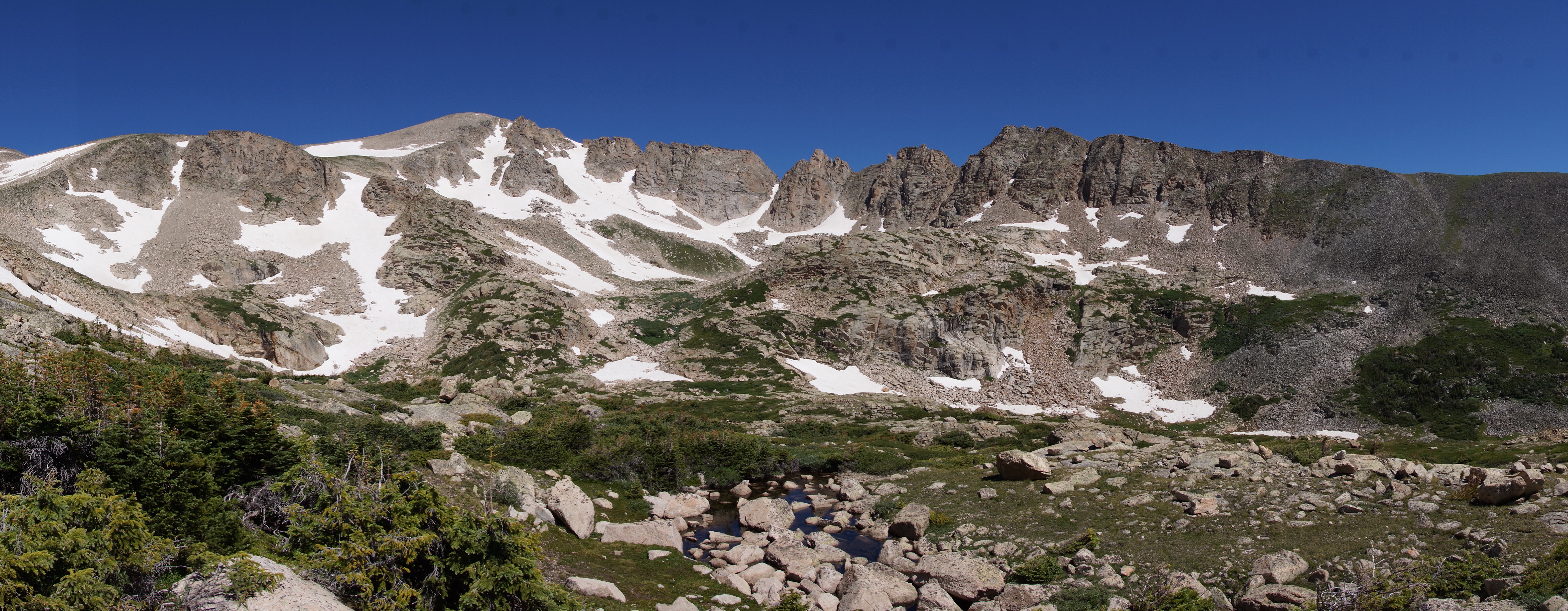
| Panoramic of Isabelle Lake |
| Isabelle Lake |
| Pawnee Pass trail 2.2 miles from the trailhead. |
| The streams were full with many snowfields yet to melt. |
| Isabelle Lake |
| Isabelle Lake |
| One of the many snowfields we crossed. |
| The valley to the north. |
| The valley to the north. |
| The valley to the north. |
| The ridge we hoped to cross to get to Shoshoni Peak. |
| Near the un-named mountain we will climb to access the ridge. |
| A panoramic of the ridge with the un-named mountain the highest in the center. |
| Pawnee Pass sign. |
| Panoramic of Pawnee Pass. |
| The un-named mountain we will climb to access the ridge. |
| Views approaching the summit of Pawshoni Peak. |
| Three views from the summit of Pawnee Lake. |
| The sharp peak in the center of the photo is Lone Eagle Peak. |
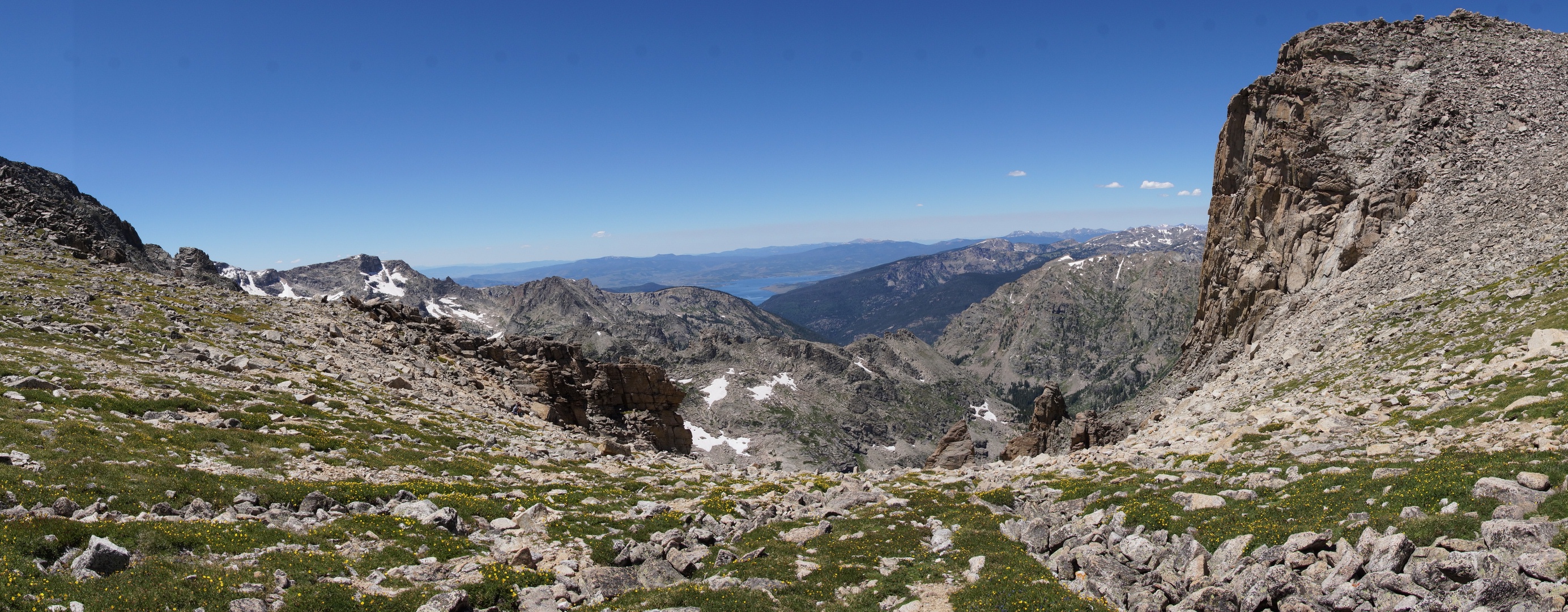
| Panoramic of the entire view to the west. |
| View from the summit of Pawshoni Peak to the south. |
| View from Pawshoni Peak to the east. |
| View from Pawshoni Peak to the north. |
| View from the Pawshoni Peak to the west. |
| View from Pawshoni Peak to the southwest. |
| View from the summit to the south. |
| At the the summit Pawshoni Peak. |
| View from the summit to the north. |
| View from the summit to the southwest. |
| Panoramic of the valley to the north of the trail. |

| Pawnee Lake |


| Red Rock Lake near the entrance to Brainerd Lake Rec Area. |
| To the right is Shoshoni Peak. |
| The valley to the north of Pawnee Pass Trail. |
| The view at the turnaround point. The clouds were closing in. |
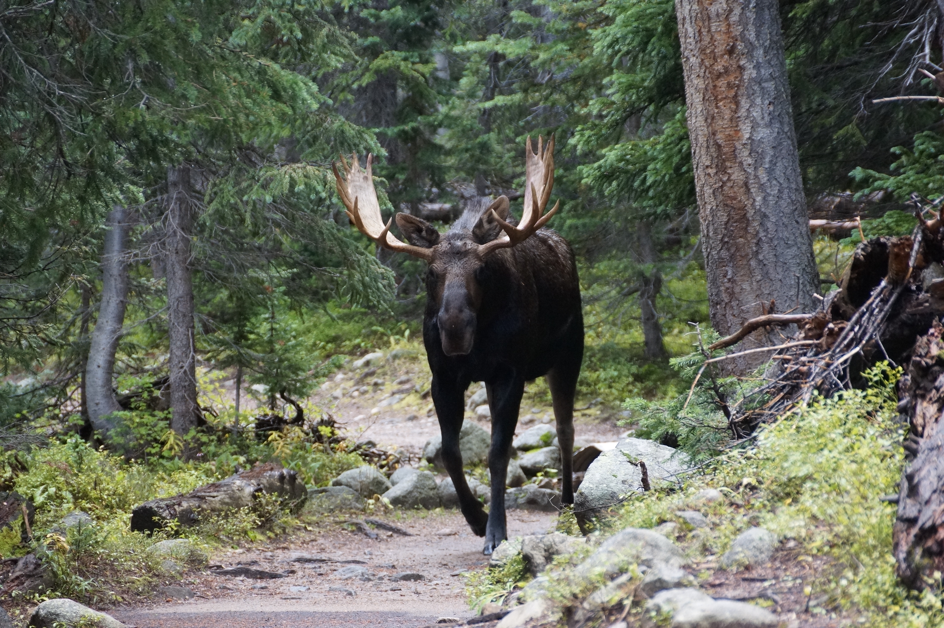
| A moose met us on the trail. |
| The following is the first hike to Shoshoni Peak which was stopped by the weather. 09/19/2013 |


| The map of Shoshoni Peak area. |