| Pawnee Pass Hike 09/01/2009 |
| The air was full of smoke from a forest fire in California but the view was still spectacular. This 9.7 mile roundtrip hike went to Pawnee Pass on the continental divide. It had a vertical rise of 1956 feet. |
| The streams had very little water on September 1st. The next snow is just days away. |
| The valley to the north. |
| Pawnee Pass with Pawnee Lake 1500 feet below. |

| The rocks had a orange hue through the smoky sky. |
| The hike traversed a ridge that had a valley on each side. This is the valley to the south. |
| Navaho Peak and Navaho Glacier. |
| Looking down from treeline at Lake Isabella. It was nearly drained on Sept. 1st. |

| Wildflowers in the valley south of the trail. |

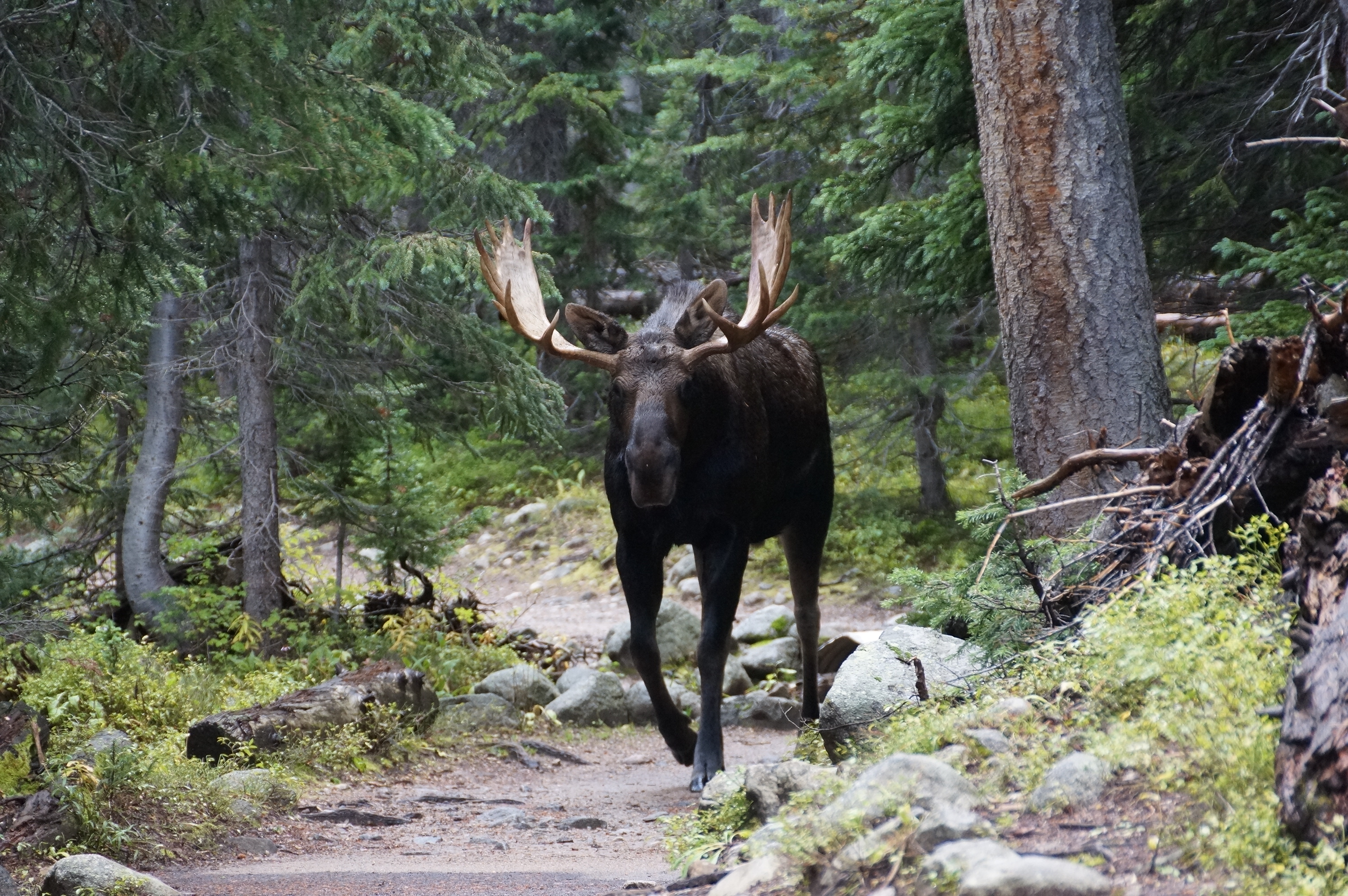
| On the trail near Long Lake we meet a moose coming down the trail. |

| Panoramic from Pawnee Pass looking west. |

| The trailhead is near Brainard Lake. (June 2017) |


| The trailhead to Pawnee Lake. |
