| Mt Toll Hike 09/16/2015 |
| The trail to Mt Toll summit is by way of the Blue Lake/Mitchell Lake trail. This was the first attempt to reach the summit. Because of high winds we stopped at the base of the mountain. This hike was 6.5 miles with a vertical change of 917'. |
| The trailhead to Mt. Toll. |
| The bridge of logs. |
| There are many drainage lakes between Blue Lake and Mitchell Lake |
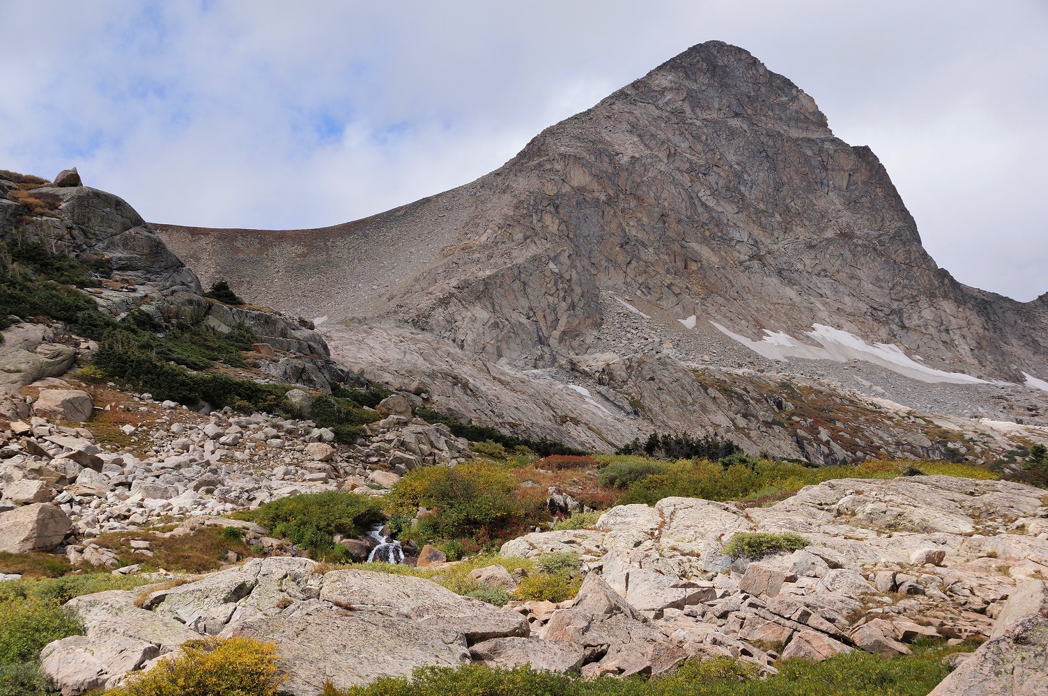
| Mt. Toll west of Blue Lake |
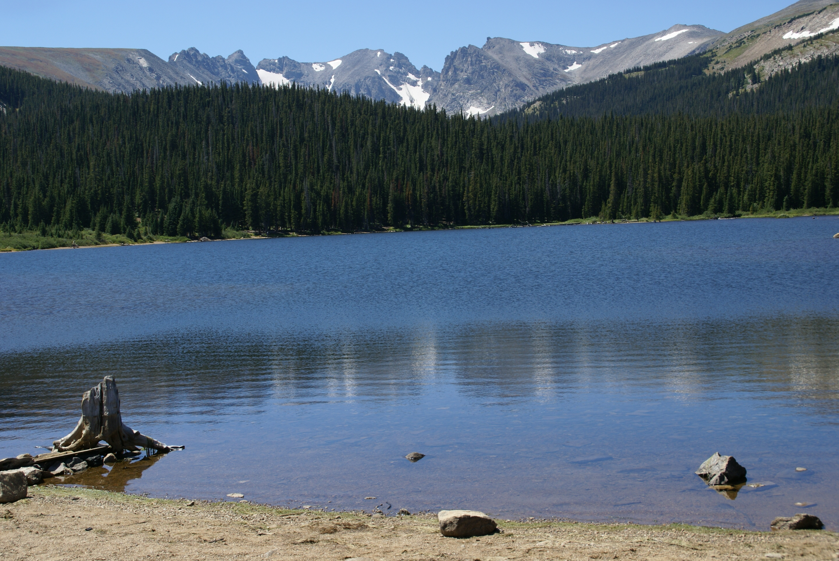
| Mitchell Lake |
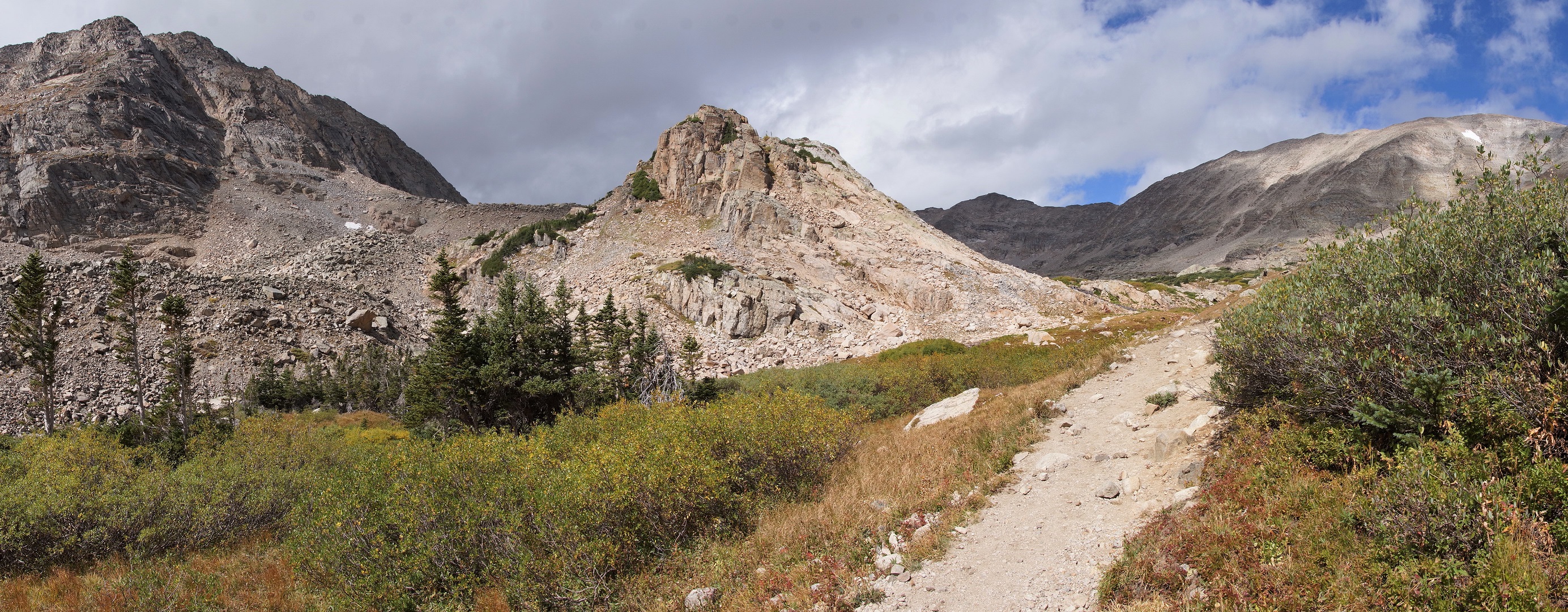
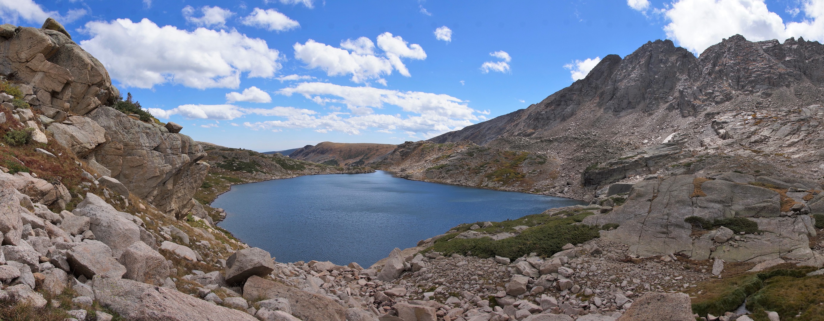
| Panoramic of Mt Toll |
| Blue Lake |
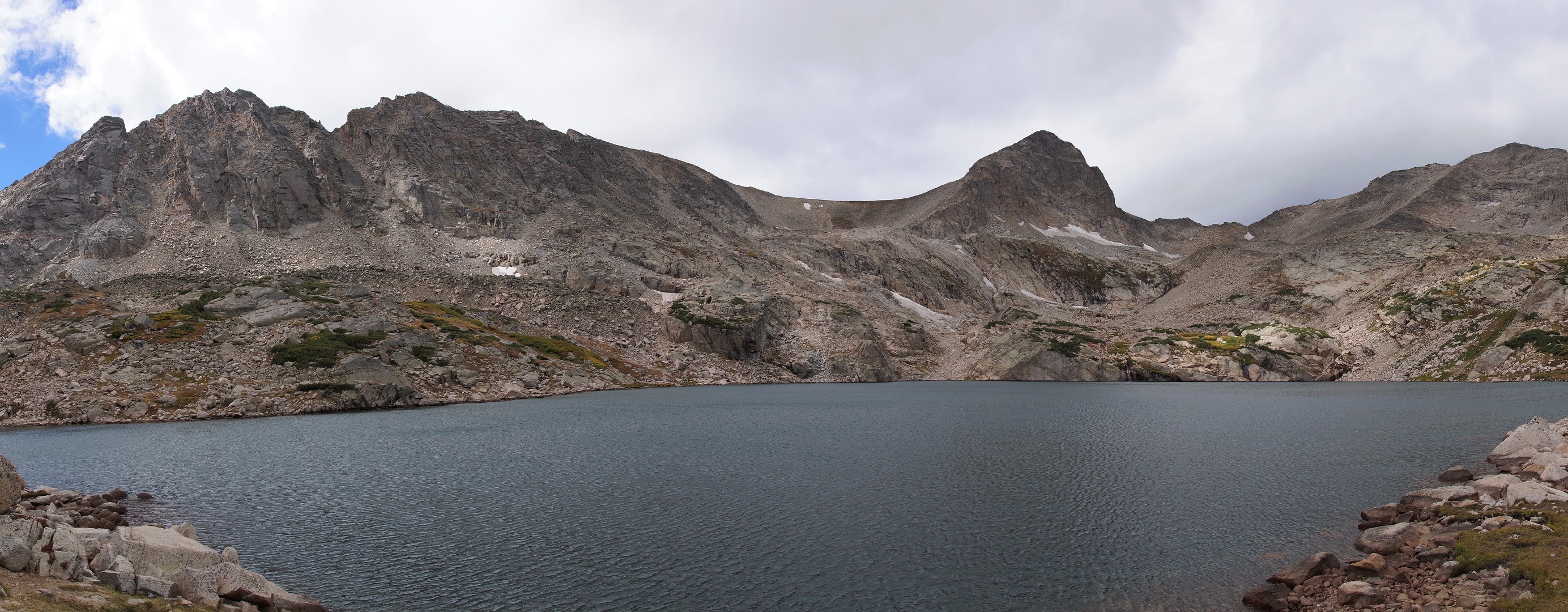
| Panoramic looking south |


| Mt. Toll is 12,979 feet in altitude |
| A chipmunk admires the view |
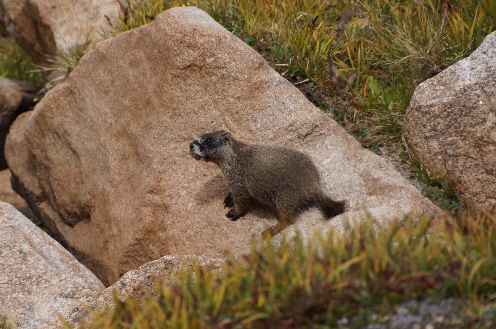
| A young Marmott |
| Blue lake looking east from the base of Mt Toll |
| Mt Toll with the stream feeding Blue Lake from the waterfall |
| Waterfalls feeding Blue lake on the west shore |
| Mt Toll -- note the waterfall on the right |
| Closeup of the waterfall |
| Half way back to Mitchell Lake there are a number of un-named lakes |
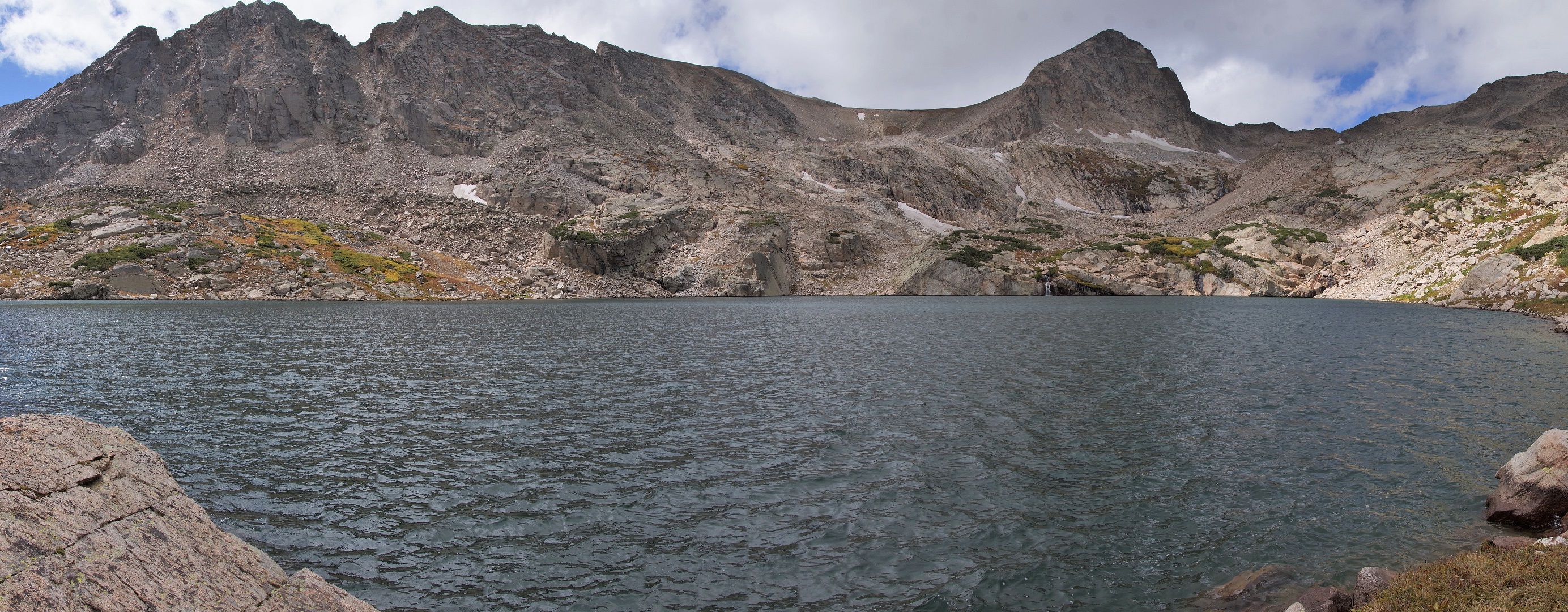
| Panoramic of Blue Lake |
| Closeup of the waterfalls feeding Blue lake. |
| The trailhead is near Brainard Lake. |