| Megahike Album 08/25/2010 |
| This hike of 17.23 miles went from Brainerd Lake (10,616') to Pawnee Pass (12,572') to Crater Lake (10,433') to Monarch Lake (8,379'). A vertical change of over 4000'. |
| The start of the hike at Brainerd Lake. |
| View looking at Pawnee Pass from near Pawnee Lake. |
| Pawnee Lake from Pawshoni Peak just south of Pawnee Pass. |
| A few miles toward Monarch Lake we pass Cascade Falls. |
| At the top of Pawnee Pass. |
| At Pawnee Lake looking south from the lake outlet. |
| On the west side of Lone Eagle Peak is Crater Lake. |
| Monarch Lake, the end of the 17 mile hike. View is looking at the valley we came from. |


| Looking west from the top of Pawnee Pass. |

| Two hundred feet down the Pawnee Trail looking back to Pawnee Pass. |
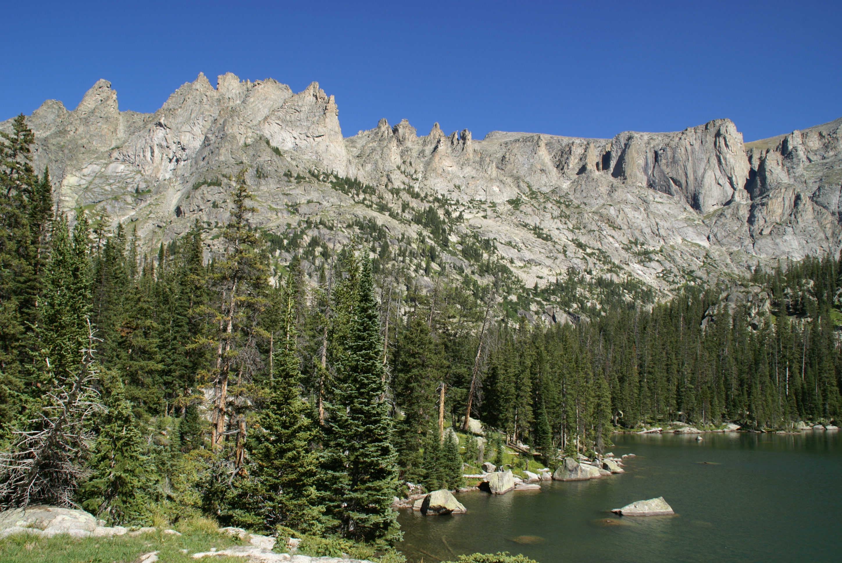
| At Crater Lake looking east. |

| One of many water crossings as we depart for Monarch Lake. |


| The valley to the north as we go up to Pawnee Pass. |
| Pawnee Lake valley. |

| The start of the hike down to Pawnee Lake from Pawnee Pass. |
| A hundred feet down from the pass a look to the north. |
| The trail starting down from the pass. |
| The deserted cabin on the west side of Crater Lake. |

| Looking back to the east as we leave Lone Eagle Peak. |


| 2.6 miles into the hike we cross a stream surrounded by wildflowers. |

| At 3.4 miles we take the trail to the right for Pawnee Pass. |


| A hundred feet down from the pass a view to the south and the trail down. |

| We approach from the north side, Mirror Lake with Lone Eagle Peak. |


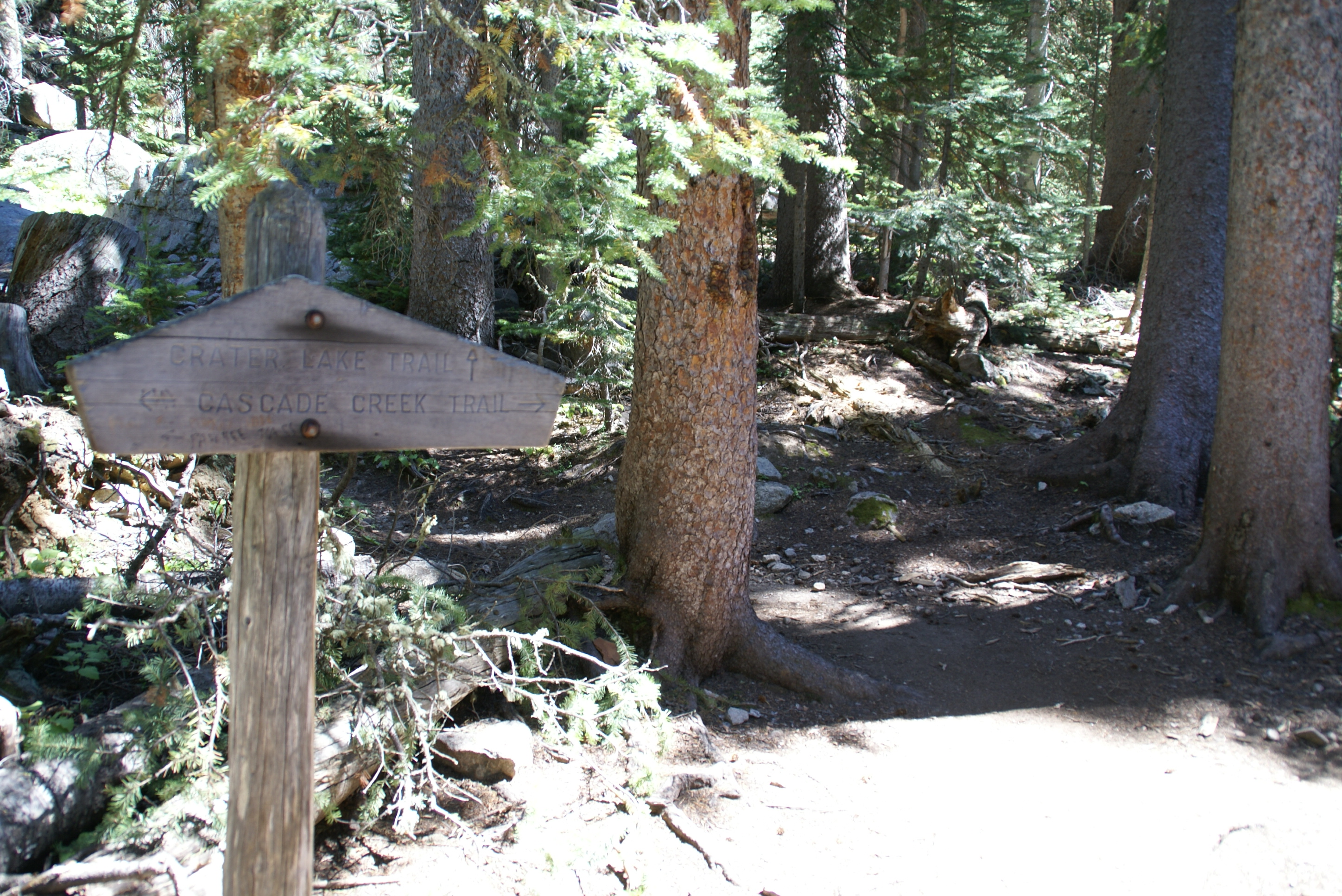
| We come to Crater Lake trail going south. |
| Our first view of Lone Eagle Peak. |


| Map of the hike. |