| Lake Xanadu Hike 07/22/2013 |
| This was a 7.02 mile round trip hike with a vertical change of 1,431 feet. Four miles were cross country with no trail. This is also a hike to a plane crash site that occurred in 1971 killing one person. |
| Jasper Peak which is about half way up to Lake Xanadu |
| From the first of 3 ledges viewing South Arapaho Peak |
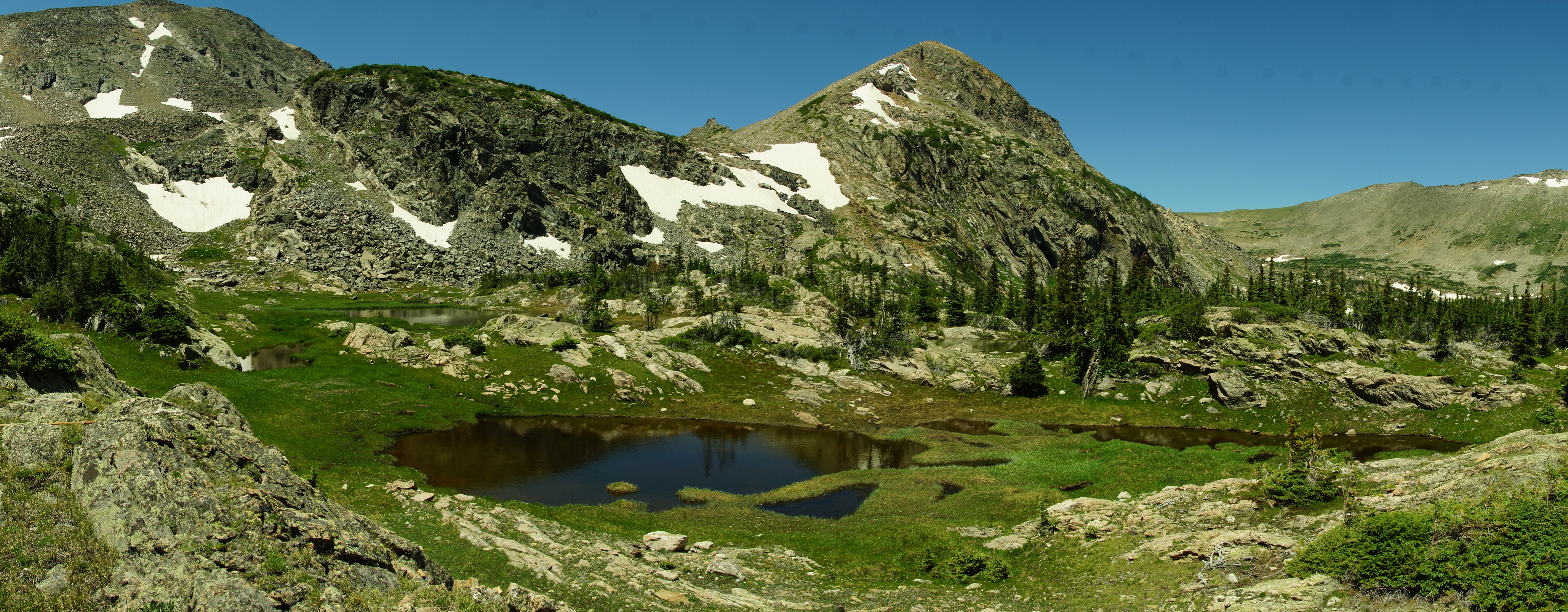
| There are many small ponds on the 2nd ledge. |
| Upper Lake Xanadu |
| Lower Lake Xanadu |
| The two lakes of Lake Xanadu. |
| Upper Xanadu Lake panoramic |
| South Arapaho Peak from where the ponds of the first ledge drain on the journey to North Fork and Boulder Creek |
| The plane crash site. |




| We start on the Diamond Lake Trail. |
| We cross the North Fork of the Boulder Creek. |


| We pass wildflowers as we climb to the 3rd ledge |
| Looking down on the 2nd ledge and S. Arapaho Peak |

| We go to climb to the 2nd ledge. |
| The first sign of the plane crash is a propeller |


| The streams are all lined with wildflowers as we make our way back |