| Isabelle Glacier Hike 7/24/2009 & 8/20/2012 |
| The Isabelle Glacier trail is in the Brainerd Lake Recreational Area. It is a 9 mile roundtrip hike with a vertical assent of 1452 feet. This hike was done on two different times as the first time we did not reach the glacier. The second slideshow is the last half of the hike to the Isabelle Glacier done in 2012. |
| The trailhead is near Brainerd Lake. |
| The lakes were all very blue. This is Long Lake. |
| Isabelle Lake looking west. |
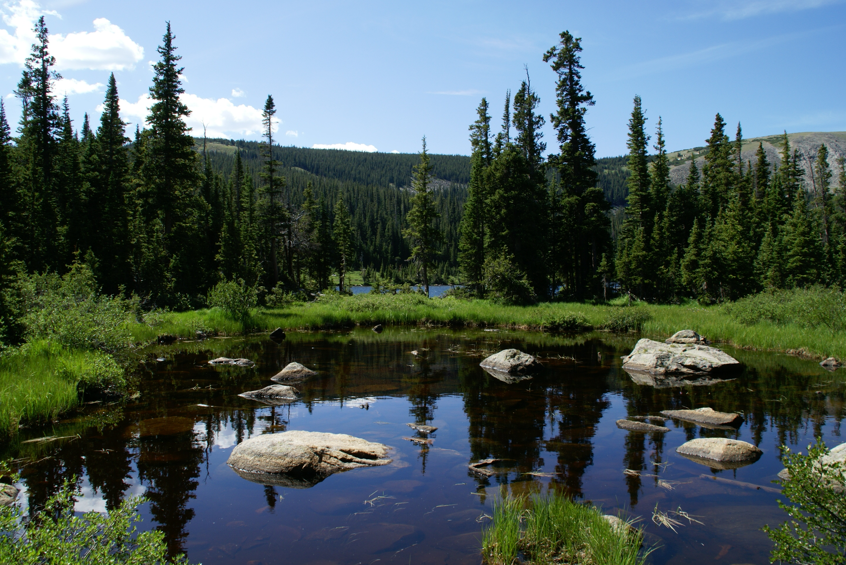
| One of many un-named ponds in the Brainard Lakes Recreational Area. |
| South St. Vrain Creek and Long Lake. |
| Upper Falls on South St. Vrain creek. |
| View with wildflowers. |

| A panoramic photo of the lake formed below the Isabelle Glacier. |

| A Ptarmigan encounter-2nd hike. |

| Isabelle Lake looking west. |

| Red Rock Lake in Brainerd Lake Rec area. |


| Half way to the glacier. |
| Isabelle Lake looking west. |


| Upper Falls on the second hike in 2012. The next photos are from the 2nd hike. |
| Isabelle Lake is drained in August of every year. |
| The last ridge to climb before Isabelle Glacier Lake |
| The lake formed below Isabelle Glacier. |

| Isabelle Glacier |