| Clear Creek Canyon Park Hike |
| In 2016 this park added 3.8 miles of sidewalk along Clear Creek. These photos are from two hikes. One from the east and one from the west with both turning around at Tunnel 5. The park follows the canyon from Golden to I70 near Idaho Springs. |
| From the Centennial Cone parking lot the trail goes under Highway 6. |
| The view from the bridge looking upriver (west). |
| Map of the Clear Creek Canyon Park |
| At about .8 miles we approach another crossing. |
| Going west on the trail (sidewalk). |
| The first crossing of Clear Creek is on the Mahem Gulch Bridge. |
| Approaching the west parking lot. |
| There are many walls of boulders along the walk. |


| This bridge is called the Cannonball Bridge. |
| This is part of a larger trail called Peaks to Plains. |
| View upriver from the bridge. |


| At 1.5 miles we come to the Placer Bridge. |
| Going from the west parking lot. |
| Looking west (upriver) from the Placer Bridge. |
| Looking east (downriver) from the Placer Bridge. |

| The trailhead on the west side. |
| We come to a rest area. |
| The view from the rest area. |
| We come across a one dog power bicycle. He never had to pedal! |


| The view after going through the tunnel under highway 6. |
| The view after going under Highway 6. |
| The river first takes a horseshoe turn. |
| Looking downriver. |


| We come to a tunnel under Highway 6. |
| The view looking back after going under Highway 6. The Highway tunnel is Tunnel 5. |

| We approach the highway. |
| We come to another tunnel under Highway 6. |
| To our left there are climbers on the cliff. |


| View after passing through the tunnel. |
| Continuing west we stop and go back to the east parking lot. |
| Going from the east parking lot. |
| Looking upriver from the same spot. |
| The canyon goes west. |
| The highway is to our left. |

| We come to Tunnel 5. It is an abandoned highway tunnel. |
| The view as we get back to the west parking lot. |
| Panoramics looking downriver (left) and upriver (right) in the horseshoe portion of the canyon. |
| We turn back at Tunnel 5. |
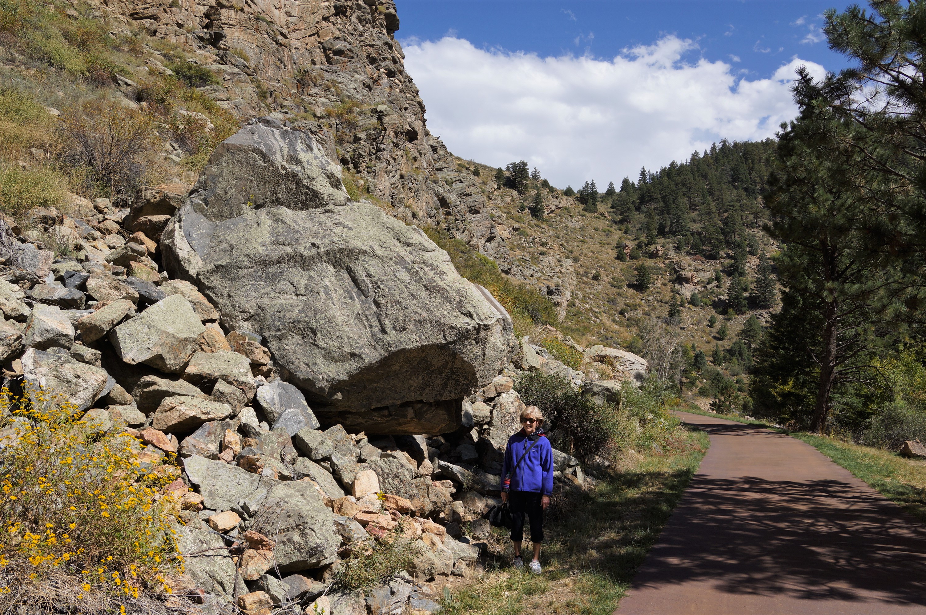
| Joanne looking at a boulder that recently fell. |


| The same area during snow melt-7-13-2019. |