| Herman Gulch Trail Hike |
| This hike was a 7.47 mile retracement hike from 10,442' to 12,021' for a vertical rise of 1579 feet. Herman Gulch Trail is part of the Continental Divide Trail which traverses the US. |

| The trees start thinning out as we cross the treeline. |

| The valley we hiked to get to Herman Lake. |

| A Marmot living near the lake. |

| A rockslide and melting snow for Clear Creek. |
| The trail required crossing a snow field. |

| Herman Lake the source of Clear Creek. |

| The summit of the Citadel which we didn't reach. |
| Herman Lake on 06/16/2020 |
| Herman Lake 7/13/2017 |
| The Wildflowers on 8/20/13 |


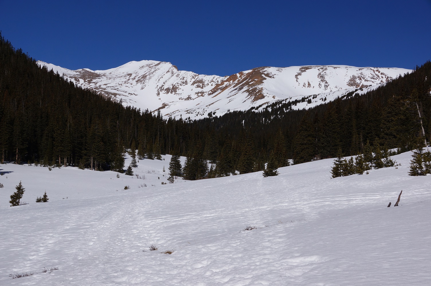


| Herman Gulch on March 17, 2015 |
| Looking north up the valley. |
| Looking north up the valley. |
| Looking south toward the trailhead. |
| The trailhead on 03/17/15. |
| Herman Gulch on April 4, 2016 |


| The snow depth was always deeper than the length of my hiking stick. Note treetop next to the stick. |
| The same spot with my hiking stick out of the snow. Note the tree which had to be over 4' tall was barely visible. |
| Looking south toward the trailhead |
| Looking north up the valley |


| The source of Clear Creek is at Herman Lake. |
| The view to the west from Herman Lake. |
| The Indian Paintbrush were at their peak on 07/13/2017. |
| Herman Gulch Photos taken on 6/20/2007 |
| Herman Lake Photos taken on 7/13/2017 |

| Herman Gulch 6/6/2018 |
| Herman Lake Photos taken on 6/06/2018 |

| Herman Lake on 06/06/2018 |

| The CDT sign is almost under snow on 6/06/2018 |
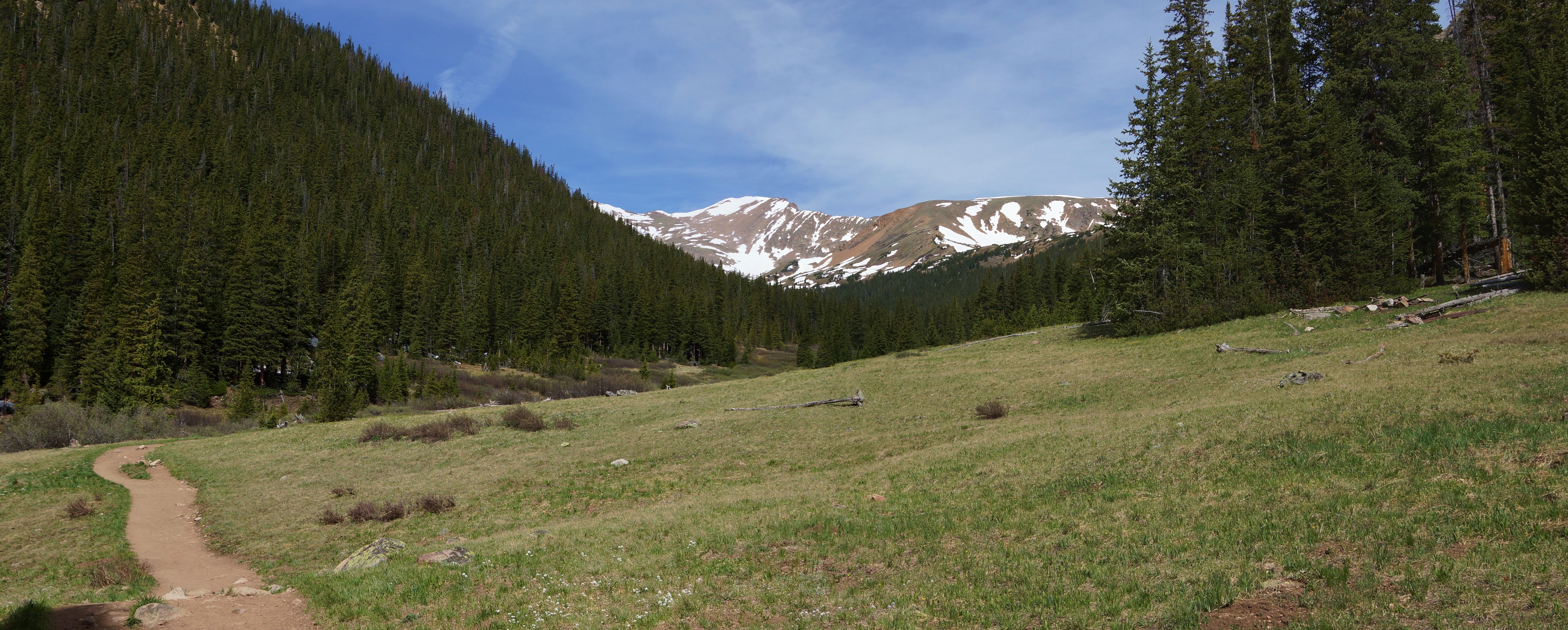
| The forest opens up as we get near the treeline. |

| The snow deepens as we go above treeline. |

| From the left--Mt Hagar, the Citadal and Herman Lake. 06/06/2018 |

| Looking north to Herman Lake and Pettingell Peak (13,553') |


| Herman Lake 7/13/2017 |
| Mt. Hager, the Citadal on 06/16/2020 |

| Avalanche damage 06/16/2020 |