| Mt. Sanitas Hike Album 3/25/08 & 3/6/14 |
| Mt Sanitas is 6862 feet in elevation. It is the first mountain straight west of downtown Boulder. The hike to the summit is a 4.3 mile loop hike with a vertical elevation gain of 1330 feet. It is a steep assent/descent from either direction. |
| The start and end of the 4.3 mile loop hike. |
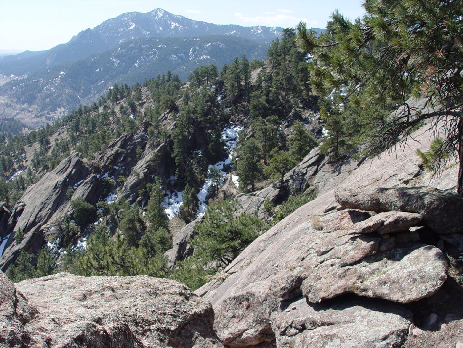
| View from the ridge. |

| On the summit of the 6862 foot Mt. Sanitas. |

| Rock formation on the mountain side. |
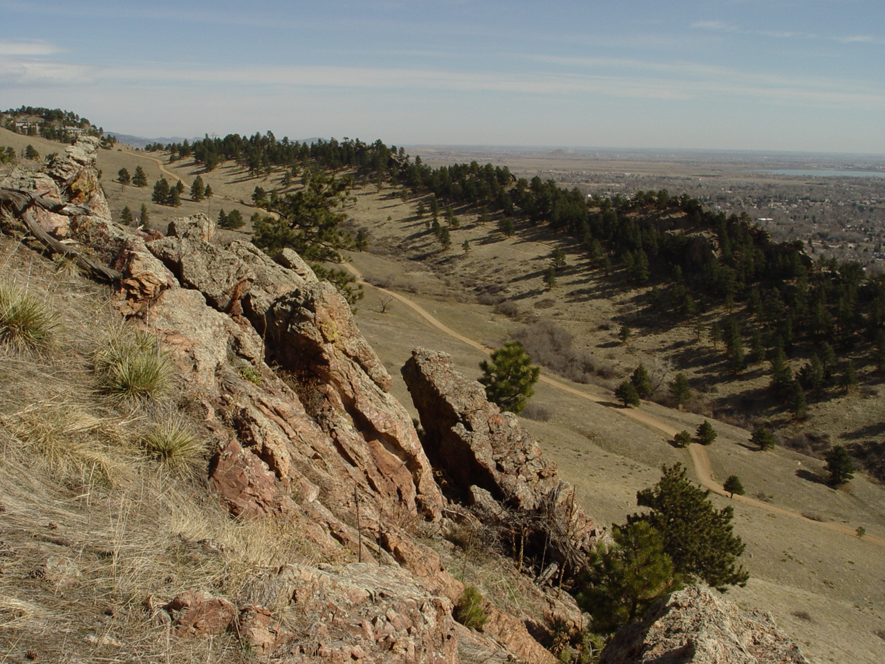
| The trail follows a ridge when coming from the south side of the summit. |
| Approaching the summit from the south the trail is steep but from the north it is steeper. |
| The trail is well defined. |

| The trail back follows Dakota Ridge. |

| Mt. Sanitas from the Flatirons. |

| Panoramic of Boulder from Mt. Sanitas 3/6/2014. |

| The Trailhead of the Mt. Sanitas hike. |


| S. Arapaho to the west of Boulder in March, 2014. |
| The summit of Mt. Sanitas. |
| Damage from the August 2013 flood. |

| Panoramic of Boulder from the summit of Mt. Sanitis. 3/6/14 |

| Map of the Mt. Sanitas Hike. |


| The medallion at the summit. |
| The trail facing the south is almost always dry. |
| We start down the north side which is very steep. |