| Gross Reservoir |
| Gross Reservoir is located 10 miles west of Boulder. The reservoir is fed by the South Boulder Creek. |
| Map of the Gross Reservoir |
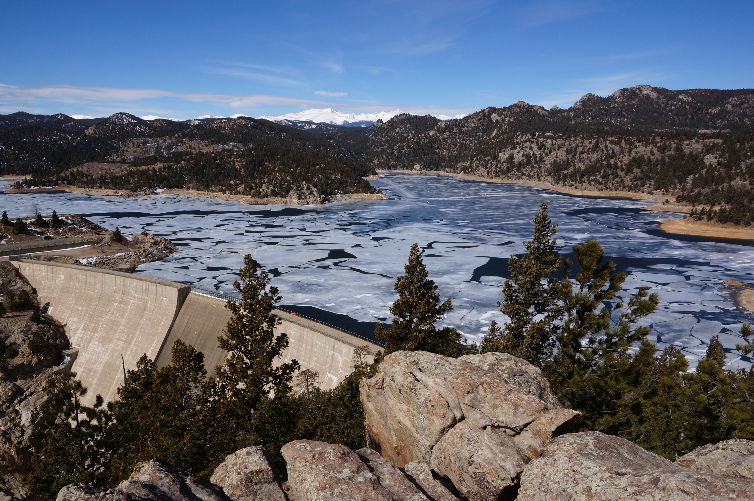
| The Dam is 340 feet high |
| The dam is 1050 feet across. |
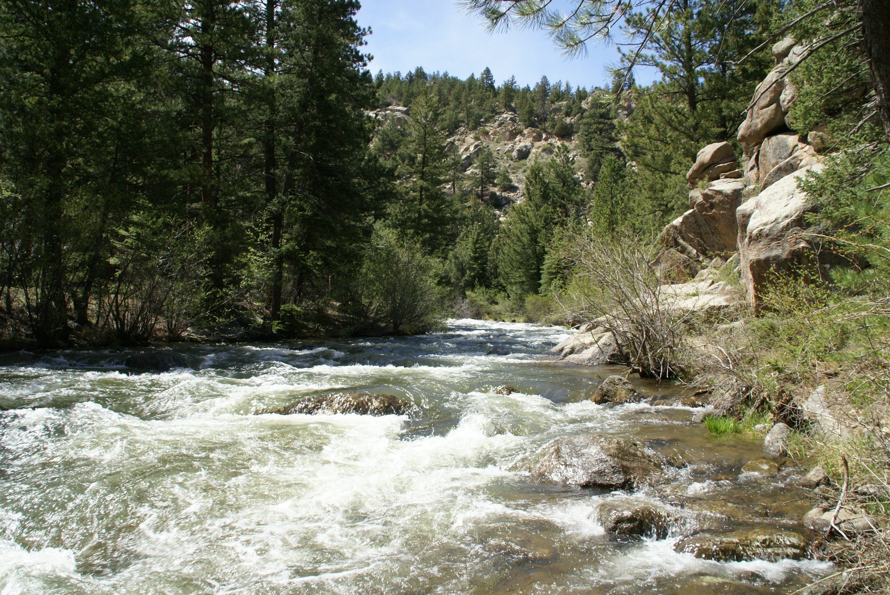
| South Boulder Creek downriver from the dam 05/2009 |
| A March 2009 look at the reservoir from the west end |
| Sideview of the dam from the south. Taken in May of 2009 |
| In March 2009 before spring runoff starts the reservoir level is 30 feet low |
| The reservoir covers 440 acres. 05/2009 |


| Panoramic of the reservoir in February of 2014. |
| Sideview of the dam from the north in February of 2014. |


| The west side Trail Head to Gross Reservoir is located where county road 68 meets 359. County road 359 is closed during the winter. Hiked on 04/14/2015 |
| Panoramic of the reservoir in April of 2015. (large) |
| The parking lot at the trailhead on County Road 359. |
| The trailhead to Gross Reservoir. |
| The stream feeding into the north fork of the reservoir. |
| In April the melting snow creates a substantial flow. |
| The trail has some obstacles. |
| After about a mile we reach the reservoir. |
| There are many tree stumps left from before the dam. |
| The water is low before the main snow melt arrives. |
| We now have to make our own trail as this portion is under water much of the year. |
| The dam comes into view just as the side becomes too steep to follow. |


| The reservoir looking west on 05/05/2016 |


| The reservoir on 05/05/2016. The runoff was still filling the reservoir. |
