| Mason Creek Hike 07/01/2014 |
| This hike goes on the MC trail for 3.5 miles then on the OM trail for 1 mile then on the SR trail for 1.8. It was a roundtrip hike of 6.8 miles. The trails used are MC, OM and SR. |
| Park trail map. |
| Most of the hike is in the forest |
| Panoramic from near the entrance. |


| Panoramic from the 1st parking lot before the Visitor Center was built in 2018. |
| The parking lot near the SR and MC trailhead |
| There is an actual Mason Creek. It is just a trickle |
| The MC, Mason Creek, trailhead |


| There are a few rock formations along the MC trail. |
| A home built on a cliff on the east side of the park |
| There are some Aspen stands along the MC trail |
| A second unamed creek follows the last half of the MC trail |
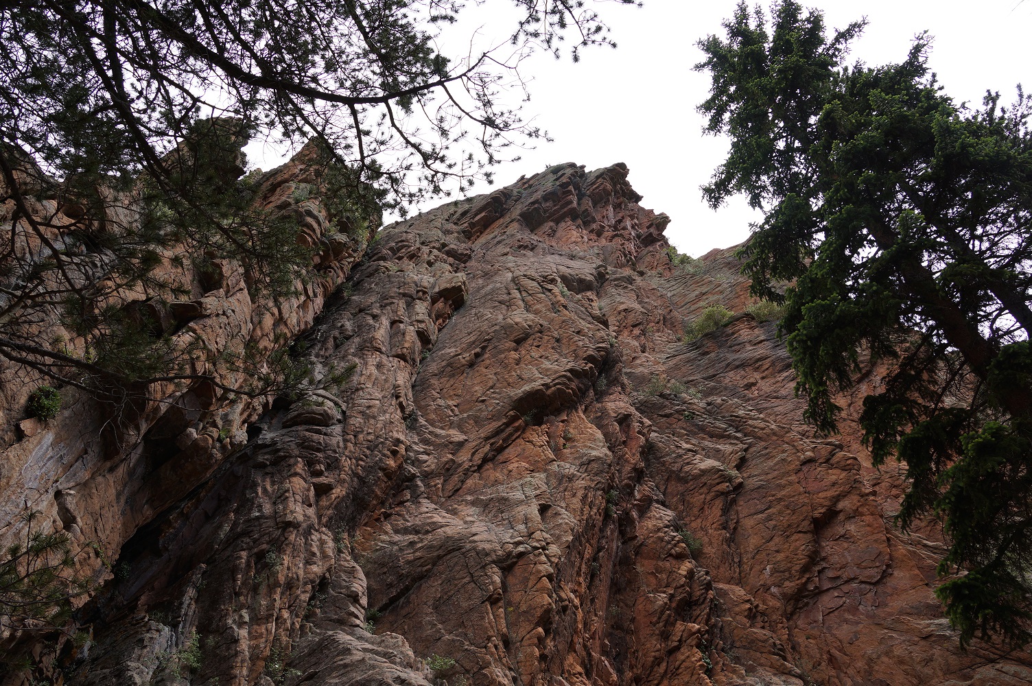
| Near the Mill we encounter a huge rock formation |
| We come to the Mill at the end of the MC trail |
| We start the OM trail |
| The OM trail is mostly in the forest |
| Soon we are on the SR trail. The SR trail is the most scenic |
| There are many rock formations visible on the SR trail |
| Near the parking lot one last view from the SR trail |
| The MC trail passes by a huge rock formation. |